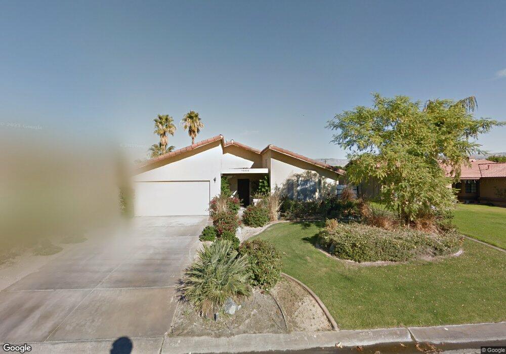
79320 Port Royal Ave Bermuda Dunes, CA 92203
Estimated Value: $383,000 - $560,000
3
Beds
2
Baths
1,497
Sq Ft
$330/Sq Ft
Est. Value
About This Home
This home is located at 79320 Port Royal Ave, Bermuda Dunes, CA 92203 and is currently estimated at $493,411, approximately $329 per square foot. 79320 Port Royal Ave is a home located in Riverside County with nearby schools including James Monroe Elementary School, Colonel Mitchell Paige Middle School, and Palm Desert High School.
Ownership History
Date
Name
Owned For
Owner Type
Purchase Details
Closed on
May 20, 1997
Sold by
Baggett Dennis and Baggett Shirley
Bought by
Houghton Robert C
Current Estimated Value
Home Financials for this Owner
Home Financials are based on the most recent Mortgage that was taken out on this home.
Original Mortgage
$114,627
Outstanding Balance
$15,591
Interest Rate
7.92%
Mortgage Type
FHA
Estimated Equity
$477,820
Purchase Details
Closed on
Jul 10, 1995
Sold by
Hagy John L and Hagy Lenis R
Bought by
Baggett Dennis and Baggett Shirley
Home Financials for this Owner
Home Financials are based on the most recent Mortgage that was taken out on this home.
Original Mortgage
$92,000
Interest Rate
7.63%
Create a Home Valuation Report for This Property
The Home Valuation Report is an in-depth analysis detailing your home's value as well as a comparison with similar homes in the area
Home Values in the Area
Average Home Value in this Area
Purchase History
| Date | Buyer | Sale Price | Title Company |
|---|---|---|---|
| Houghton Robert C | $115,000 | First American Title Ins Co | |
| Baggett Dennis | $115,000 | Orange Coast Title Company |
Source: Public Records
Mortgage History
| Date | Status | Borrower | Loan Amount |
|---|---|---|---|
| Open | Houghton Robert C | $114,627 | |
| Previous Owner | Baggett Dennis | $92,000 |
Source: Public Records
Tax History Compared to Growth
Tax History
| Year | Tax Paid | Tax Assessment Tax Assessment Total Assessment is a certain percentage of the fair market value that is determined by local assessors to be the total taxable value of land and additions on the property. | Land | Improvement |
|---|---|---|---|---|
| 2025 | $2,460 | $202,033 | $47,882 | $154,151 |
| 2023 | $2,460 | $194,190 | $46,024 | $148,166 |
| 2022 | $2,365 | $190,383 | $45,122 | $145,261 |
| 2021 | $2,320 | $186,651 | $44,238 | $142,413 |
| 2020 | $2,276 | $184,738 | $43,785 | $140,953 |
| 2019 | $2,231 | $181,117 | $42,927 | $138,190 |
| 2018 | $2,188 | $177,567 | $42,086 | $135,481 |
| 2017 | $2,141 | $174,086 | $41,261 | $132,825 |
| 2016 | $2,088 | $170,673 | $40,452 | $130,221 |
| 2015 | $2,094 | $168,112 | $39,846 | $128,266 |
| 2014 | $2,058 | $164,820 | $39,066 | $125,754 |
Source: Public Records
Map
Nearby Homes
- 79361 Port Royal Ave
- 79381 Avenue 42
- 41740 Cambridge Ave
- 41855 Volare Ct
- 41868 Volare Ct
- 41879 Volare Ct
- 41891 Volare Ct
- 41880 Volare Ct
- 41892 Volare Ct
- 79305 Bermuda Dunes Dr
- 79211 Bermuda Dunes Dr
- 42410 Adams St
- 41252 Gaslight Ave
- 42533 Capri Dr
- 42505 Adams St
- 79040 Cliff St
- 42320 Baracoa Dr Unit 20
- 79750 Gable Glen St
- 78900 Runaway Bay Dr
- 79760 Gable Glen St
- 79330 Port Royal Ave
- 79310 Port Royal Ave
- 79304 Aruba Ct
- 79340 Port Royal Ave
- 79298 Aruba Ct
- 79321 Port Royal Ave
- 79311 Port Royal Ave
- 79331 Port Royal Ave
- 79290 Port Royal Ave
- 79301 Port Royal Ave
- 0 St Lucia Ct Unit 41431065
- 79356 Saint Lucia Ct
- 79341 Port Royal Ave
- 79364 St Lucia
- 79311 Spalding Dr
- 79331 Spalding Dr
- 79291 Port Royal Ave
- 79294 Aruba Ct
- 79301 Spalding Dr
- 79380 Port Royal Ave