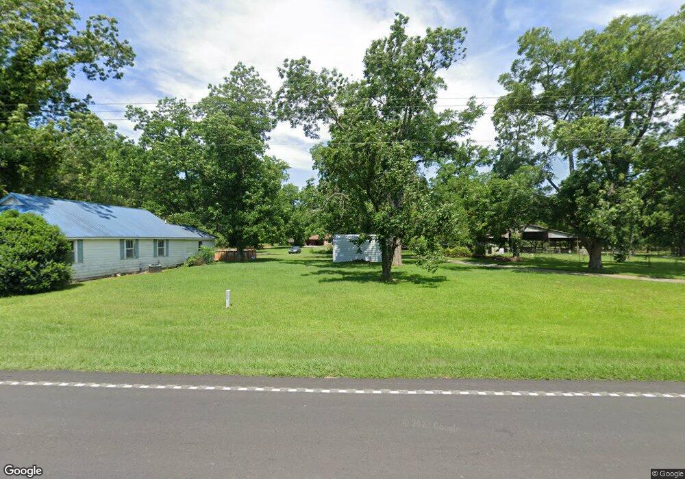
794 Ga Highway 33 S Cordele, GA 31015
Estimated Value: $359,000 - $764,879
3
Beds
3
Baths
4,094
Sq Ft
$139/Sq Ft
Est. Value
About This Home
This home is located at 794 Ga Highway 33 S, Cordele, GA 31015 and is currently estimated at $568,220, approximately $138 per square foot. 794 Ga Highway 33 S is a home located in Crisp County with nearby schools including Crisp County Primary School, Crisp County Elementary School, and Crisp County Middle School.
Ownership History
Date
Name
Owned For
Owner Type
Purchase Details
Closed on
Jul 10, 2024
Sold by
Lewis Darryl
Bought by
Lewis Sheree
Current Estimated Value
Purchase Details
Closed on
May 11, 2005
Sold by
Huckaby Jennifer M
Bought by
Central Bank & Trust
Purchase Details
Closed on
Dec 20, 1991
Sold by
Carter Peyton
Bought by
Huckaby Jennifer M
Purchase Details
Closed on
Jun 6, 1986
Bought by
Carter Peyton
Create a Home Valuation Report for This Property
The Home Valuation Report is an in-depth analysis detailing your home's value as well as a comparison with similar homes in the area
Home Values in the Area
Average Home Value in this Area
Purchase History
| Date | Buyer | Sale Price | Title Company |
|---|---|---|---|
| Lewis Sheree | -- | -- | |
| Central Bank & Trust | $125,000 | -- | |
| Huckaby Jennifer M | $67,000 | -- | |
| Carter Peyton | -- | -- |
Source: Public Records
Tax History Compared to Growth
Tax History
| Year | Tax Paid | Tax Assessment Tax Assessment Total Assessment is a certain percentage of the fair market value that is determined by local assessors to be the total taxable value of land and additions on the property. | Land | Improvement |
|---|---|---|---|---|
| 2024 | $4,995 | $213,970 | $46,110 | $167,860 |
| 2023 | $4,982 | $210,217 | $49,496 | $160,721 |
| 2022 | $4,855 | $186,800 | $28,678 | $158,122 |
| 2021 | $5,246 | $176,926 | $28,678 | $148,248 |
| 2020 | $4,816 | $176,926 | $28,678 | $148,248 |
| 2019 | $4,773 | $176,926 | $28,678 | $148,248 |
| 2018 | $4,706 | $183,896 | $43,588 | $140,308 |
| 2017 | $5,655 | $183,896 | $43,588 | $140,308 |
| 2016 | $4,708 | $183,896 | $43,588 | $140,308 |
| 2015 | -- | $142,604 | $2,296 | $140,308 |
| 2014 | -- | $183,896 | $43,588 | $140,308 |
| 2013 | -- | $187,751 | $42,418 | $145,333 |
Source: Public Records
Map
Nearby Homes
- 501 Southern Lakes Dr
- 221 1st St W
- 2776 2776 S Ga 41 Hwy
- 104 4th St
- 2608 U S 41
- TBD Arabi Warwick Rd
- 718 Jamestown Rd
- 141 Ruby St
- 114 Brier Patch Rd
- 157 Bobwhite Dr
- 2413 Old Hatley Rd
- 11 Lochridge Way
- 104 Aberdeen Cir
- 2905 Old Hatley Rd
- 112 Judy Ave
- 68 Aberdeen Cir
- 2298 U S 41
- 0 Aberdeen Circle Lt# 28
- 2115 Royal Rd
- 3113 Old Hatley Rd
- 794 Ga Highway 33 S
- 790 S Hwy 33
- 790 Ga Highway 33 S
- 790 Ga Highway 33 S
- 805 Ga Highway 33 S
- 0 Georgia 33
- 827 Ga Highway 33 S
- 827 Ga Highway 33 S
- 469 Landfill Rd
- 919 Ga Highway 33 S
- 684 Ga Highway 33 S
- 523 Landfill Rd
- 522 Landfill Rd
- 679 Ga Highway 33 S
- 918 Ga Highway 33 S
- 0 Nelson Rd
- 239 Big Jim Rd
- 599 Ga Highway 33 S
- 599 Ga Highway 33 S
- 599 Ga Highway 33 S