794 Mcdonough Rd Jackson, GA 30233
Estimated Value: $3,297,765
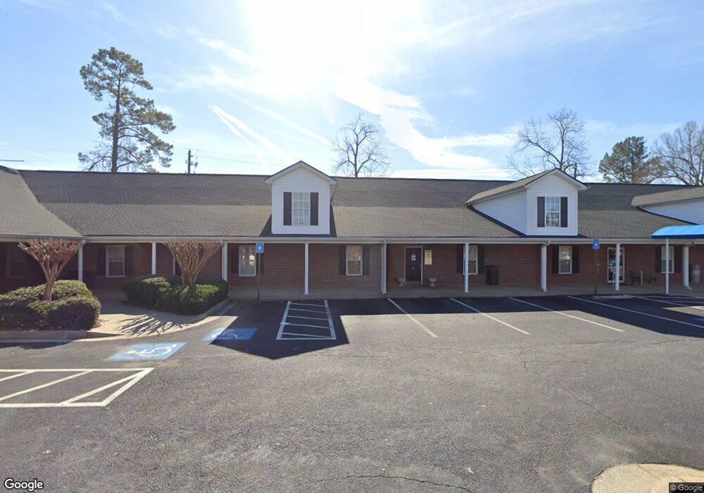
About This Home
This home is located at 794 Mcdonough Rd, Jackson, GA 30233 and is currently estimated at $3,297,765, approximately $412 per square foot. 794 Mcdonough Rd is a home located in Butts County with nearby schools including Jackson High School.
Ownership History
We collect this data history from publicly available records. To have your information removed, we recommend requesting removal directly through your county’s website.
Purchase Details
Home Financials for this Owner
Home Financials are based on the most recent Mortgage that was taken out on this home.Purchase Details
Home Financials for this Owner
Home Financials are based on the most recent Mortgage that was taken out on this home.Purchase Details
Purchase Details
Purchase Details
Purchase Details
Purchase Details
Purchase Details
Home Financials for this Owner
Home Financials are based on the most recent Mortgage that was taken out on this home.Home Values in the Area
Average Home Value in this Area
Purchase History
We collect this data history from publicly available records. To have your information removed, we recommend requesting removal directly through your county’s website.
| Date | Buyer | Sale Price | Title Company |
|---|---|---|---|
| $2,075,000 | -- | ||
| -- | -- | ||
| $850,000 | -- | ||
| $1,990,000 | -- | ||
| $1,990,000 | -- | ||
| -- | -- | ||
| -- | -- | ||
| $236,900 | -- | ||
| -- | -- | ||
| $37,900 | -- | ||
| $2,000,000 | -- |
Mortgage History
We collect this data history from publicly available records. To have your information removed, we recommend requesting removal directly through your county’s website.
| Date | Status | Borrower | Loan Amount |
|---|---|---|---|
| Closed | $1,500,000 | ||
| Previous Owner | $680,000 | ||
| Previous Owner | $1,845,000 | ||
| Previous Owner | $100,000 |
Tax History
We collect this data history from publicly available records. To have your information removed, we recommend requesting removal directly through your county’s website.
| Year | Tax Paid | Tax Assessment Tax Assessment Total Assessment is a certain percentage of the fair market value that is determined by local assessors to be the total taxable value of land and additions on the property. | Land | Improvement |
|---|---|---|---|---|
| 2025 | $21,123 | $920,572 | $58,960 | $861,612 |
| 2024 | $19,881 | $790,987 | $45,024 | $745,963 |
| 2023 | $21,463 | $790,987 | $45,024 | $745,963 |
| 2022 | $21,556 | $794,445 | $45,024 | $749,421 |
| 2021 | $23,076 | $794,444 | $45,024 | $749,420 |
| 2020 | $23,968 | $794,445 | $45,024 | $749,421 |
| 2019 | $14,855 | $509,267 | $45,024 | $464,243 |
| 2018 | $14,420 | $473,888 | $45,024 | $428,864 |
| 2017 | $1,395 | $473,888 | $45,024 | $428,864 |
| 2016 | $15,057 | $473,888 | $45,024 | $428,864 |
| 2015 | $11,298 | $473,888 | $45,024 | $428,864 |
| 2014 | $15,819 | $340,000 | $32,303 | $307,697 |
Map
- 316 Watson St
- 119 Culver St
- 131 Culver St
- 466 West Ave
- 329 Mcdonough Rd
- 323 Brookwood Ave
- 379 West Ave
- 28.59 ACRES In Henry County
- 150 Post Oak Dr
- 455 Cindy St
- 243 Glenn St
- 457 Stane Brook Ct
- 271 Stane Brook Ct
- 263 Stane Brook Ct
- 590 Cotton Dr
- 526 Cotton Dr
- 317 W College St
- 0 Highway 36 E Unit 183636
- 0 E Highway 36 Unit 10772352
- 0 E Highway 36 Unit 10693968
- 307 Oakland Cir
- 323 Oakland Cir
- 0 Oakland Cir Unit 8530920
- 0 Oakland Cir Unit 8530919
- 0 Oakland Cir Unit 8729300
- 0 Oakland Cir Unit 8729298
- 0 Oakland Cir Unit 8789676
- 0 Oakland Cir Unit 8789670
- 745 Mcdonough Rd
- 710 Mcdonough Rd
- 343 Oakland Cir
- 306 Oakland Cir
- 324 Oakland Cir
- 670 Mcdonough Rd
- 370 Watson St
- 849 Mcdonough Rd
- 648 Mcdonough Rd
- 364 Oakland Cir
- 254 W L Miller Dr
- 922 Mcdonough Rd
Ask me questions while you tour the home.