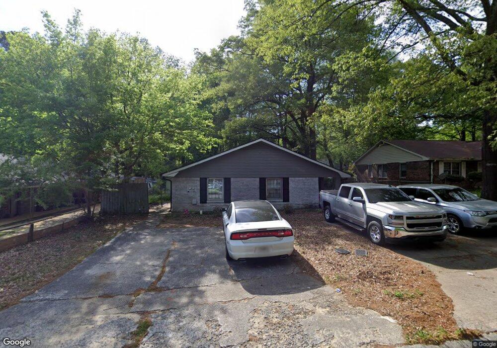
794 Wilson Cir SW Unit 796 Marietta, GA 30064
Southwestern Marietta NeighborhoodEstimated Value: $417,000 - $493,000
4
Beds
4
Baths
2,394
Sq Ft
$189/Sq Ft
Est. Value
About This Home
This home is located at 794 Wilson Cir SW Unit 796, Marietta, GA 30064 and is currently estimated at $453,052, approximately $189 per square foot. 794 Wilson Cir SW Unit 796 is a home located in Cobb County with nearby schools including A.L. Burruss Elementary School, Marietta Sixth Grade Academy, and Marietta Middle School.
Ownership History
Date
Name
Owned For
Owner Type
Purchase Details
Closed on
Feb 5, 2018
Sold by
Kiely John A
Bought by
Katis Matthew
Current Estimated Value
Home Financials for this Owner
Home Financials are based on the most recent Mortgage that was taken out on this home.
Original Mortgage
$115,371
Outstanding Balance
$98,408
Interest Rate
4.37%
Mortgage Type
FHA
Estimated Equity
$354,644
Create a Home Valuation Report for This Property
The Home Valuation Report is an in-depth analysis detailing your home's value as well as a comparison with similar homes in the area
Home Values in the Area
Average Home Value in this Area
Purchase History
| Date | Buyer | Sale Price | Title Company |
|---|---|---|---|
| Katis Matthew | $117,500 | -- |
Source: Public Records
Mortgage History
| Date | Status | Borrower | Loan Amount |
|---|---|---|---|
| Open | Katis Matthew | $115,371 |
Source: Public Records
Tax History Compared to Growth
Tax History
| Year | Tax Paid | Tax Assessment Tax Assessment Total Assessment is a certain percentage of the fair market value that is determined by local assessors to be the total taxable value of land and additions on the property. | Land | Improvement |
|---|---|---|---|---|
| 2025 | $1,533 | $181,220 | $52,000 | $129,220 |
| 2024 | $1,654 | $195,524 | $52,000 | $143,524 |
| 2023 | $1,515 | $179,100 | $36,000 | $143,100 |
| 2022 | $838 | $99,112 | $30,000 | $69,112 |
| 2021 | $851 | $99,112 | $30,000 | $69,112 |
| 2020 | $753 | $87,628 | $24,800 | $62,828 |
| 2019 | $404 | $47,000 | $15,080 | $31,920 |
| 2018 | $535 | $62,224 | $20,000 | $42,224 |
| 2017 | $346 | $50,224 | $8,000 | $42,224 |
| 2016 | $275 | $39,980 | $8,000 | $31,980 |
| 2015 | $300 | $39,980 | $8,000 | $31,980 |
| 2014 | $310 | $39,980 | $0 | $0 |
Source: Public Records
Map
Nearby Homes
- 260 Manning Rd SW Unit 110
- 290 Westland Way SW
- 798 Sentinel Ridge SW
- 873 Cavalry Dr SW
- 818 Manning Way SW Unit 1
- 1141 Whitlock Ave NW
- 920 Wemberley Ln
- 838 Cannon Run SW
- 834 Cannon Run SW
- 909 Wemberley Ln
- 984 Wemberley Ln
- 917 Wemberley Ln
- 805 Manning Way SW
- 594 Manning Rd SW
- 560 Manning Rd SW
- 839 Manning Villas Ct SW
- 204 Wakehurst Way
- 800 Wilson Cir SW Unit 2
- 790 Wilson Cir SW
- 802 Wilson Cir SW Unit 802
- 802 Wilson Cir SW Unit 804
- 802 Wilson Cir SW
- 786 Wilson Cir SW
- 0 Wilson Cir SW Unit 7271176
- 0 Wilson Cir SW Unit 7394314
- 0 Wilson Cir SW Unit 8815709
- 0 Wilson Cir SW Unit 8632147
- 0 Wilson Cir SW Unit 8419376
- 0 Wilson Cir SW Unit 8347386
- 0 Wilson Cir SW Unit 7493933
- 0 Wilson Cir SW
- 772 Rogers Way SW Unit 774
- 772 Rogers Way SW
- 775 Wilson Cir SW
- 775 Wilson Cir SW Unit 775
- 773 Wilson Cir SW Unit 773
- 773 Wilson Cir SW