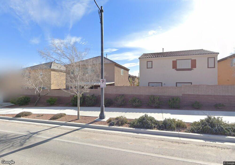
7948 Mineral Peak St Las Vegas, NV 89166
La Madre Foothills NeighborhoodEstimated Value: $433,000 - $440,000
3
Beds
3
Baths
1,803
Sq Ft
$241/Sq Ft
Est. Value
About This Home
This home is located at 7948 Mineral Peak St, Las Vegas, NV 89166 and is currently estimated at $435,249, approximately $241 per square foot. 7948 Mineral Peak St is a home with nearby schools including Henry & Evelyn Bozarth Elementary School, Edmundo "Eddie" Escobedo, Sr. Middle School, and Arbor View High School.
Ownership History
Date
Name
Owned For
Owner Type
Purchase Details
Closed on
Aug 7, 2015
Sold by
Estancia Desert Llc
Bought by
Newell Callie Suzanne
Current Estimated Value
Home Financials for this Owner
Home Financials are based on the most recent Mortgage that was taken out on this home.
Original Mortgage
$188,379
Outstanding Balance
$147,856
Interest Rate
3.97%
Mortgage Type
New Conventional
Estimated Equity
$287,393
Create a Home Valuation Report for This Property
The Home Valuation Report is an in-depth analysis detailing your home's value as well as a comparison with similar homes in the area
Home Values in the Area
Average Home Value in this Area
Purchase History
| Date | Buyer | Sale Price | Title Company |
|---|---|---|---|
| Newell Callie Suzanne | $235,474 | Nevada Title Las Vegas |
Source: Public Records
Mortgage History
| Date | Status | Borrower | Loan Amount |
|---|---|---|---|
| Open | Newell Callie Suzanne | $188,379 |
Source: Public Records
Tax History Compared to Growth
Tax History
| Year | Tax Paid | Tax Assessment Tax Assessment Total Assessment is a certain percentage of the fair market value that is determined by local assessors to be the total taxable value of land and additions on the property. | Land | Improvement |
|---|---|---|---|---|
| 2025 | $2,597 | $127,789 | $30,800 | $96,989 |
| 2024 | $2,522 | $127,789 | $30,800 | $96,989 |
| 2023 | $2,522 | $124,735 | $34,300 | $90,435 |
| 2022 | $2,449 | $109,724 | $27,300 | $82,424 |
| 2021 | $2,377 | $103,632 | $25,900 | $77,732 |
| 2020 | $2,305 | $101,228 | $24,500 | $76,728 |
| 2019 | $2,238 | $96,646 | $21,350 | $75,296 |
| 2018 | $2,173 | $82,587 | $18,550 | $64,037 |
| 2017 | $2,553 | $77,412 | $16,100 | $61,312 |
| 2016 | $2,058 | $50,453 | $12,600 | $37,853 |
| 2015 | $1,500 | $10,500 | $10,500 | $0 |
| 2014 | $251 | $7,000 | $7,000 | $0 |
Source: Public Records
Map
Nearby Homes
- 10537 Thor Mountain Ln
- 10612 Capitol Peak Ave
- 10643 Sariah Skye Ave
- 7851 Torreys Peak St
- 10431 Prairie Mountain Ave
- 8043 Tank Loop St
- 10663 Sariah Skye Ave
- 7919 Bartlett Peak St
- 10523 Laurel Mountain Ln
- 8048 Skye Bridge St
- 8123 Skye Chalet St
- 8099 Rams Collide St
- 8104 Rams Collide St
- 7810 Sundial Peak St
- 7815 Shingle Beach St
- 7772 Houston Peak St
- 8111 Switchback Run St
- 7745 Donner Peak St
- 7960 Calito St
- 8104 Switchback Run St
- 7944 Mineral Peak St
- 7947 Blue Lake Peak St
- 7943 Blue Lake Peak St
- 7940 Mineral Peak St
- 10550 Angels Rest Ave
- 7947 Mineral Peak St
- 7939 Blue Lake Peak St
- 7943 Mineral Peak St
- 10554 Angels Rest Ave
- 7936 Mineral Peak St
- 7935 Blue Lake Peak St
- 7939 Mineral Peak St
- 10558 Angels Rest Ave
- 7950 Lost Ranger Peak St
- 7946 Blue Lake Peak St
- 7946 Lost Ranger Peak St
- 7932 Mineral Peak St
- 7954 Lost Ranger Peak St
- 7950 Blue Lake Peak St
- 7935 Mineral Peak St