795 Skyland Dr Crested Butte, CO 81224
Estimated Value: $4,798,176 - $6,956,000
4
Beds
6
Baths
2,665
Sq Ft
$2,114/Sq Ft
Est. Value
About This Home
This home is located at 795 Skyland Dr, Crested Butte, CO 81224 and is currently estimated at $5,632,544, approximately $2,113 per square foot. 795 Skyland Dr is a home located in Gunnison County with nearby schools including Gunnison Elementary School, Crested Butte Community School, and Gunnison Middle School.
Ownership History
Date
Name
Owned For
Owner Type
Purchase Details
Closed on
Feb 12, 2014
Sold by
Leacock Timothy David and Leacock Fiona Mary
Bought by
Brillhart Properties Llc
Current Estimated Value
Purchase Details
Closed on
Aug 9, 2007
Sold by
Butte Partners Ltd
Bought by
Leacock Timothy David and Leacock Fiona Mary
Purchase Details
Closed on
Oct 19, 2004
Sold by
Nd Enterprises Llc
Bought by
Butte Partners
Create a Home Valuation Report for This Property
The Home Valuation Report is an in-depth analysis detailing your home's value as well as a comparison with similar homes in the area
Home Values in the Area
Average Home Value in this Area
Purchase History
| Date | Buyer | Sale Price | Title Company |
|---|---|---|---|
| Brillhart Properties Llc | $1,925,000 | None Available | |
| Leacock Timothy David | $2,100,000 | None Available | |
| Butte Partners | $285,000 | -- |
Source: Public Records
Tax History Compared to Growth
Tax History
| Year | Tax Paid | Tax Assessment Tax Assessment Total Assessment is a certain percentage of the fair market value that is determined by local assessors to be the total taxable value of land and additions on the property. | Land | Improvement |
|---|---|---|---|---|
| 2024 | $20,764 | $275,790 | $46,270 | $229,520 |
| 2023 | $20,764 | $272,110 | $45,650 | $226,460 |
| 2022 | $17,579 | $196,890 | $22,240 | $174,650 |
| 2021 | $16,182 | $202,560 | $22,880 | $179,680 |
| 2020 | $11,865 | $140,950 | $24,880 | $116,070 |
| 2019 | $11,701 | $140,950 | $24,880 | $116,070 |
| 2018 | $11,205 | $124,560 | $20,160 | $104,400 |
| 2017 | $11,278 | $124,560 | $20,160 | $104,400 |
| 2016 | $8,509 | $97,880 | $22,530 | $75,350 |
| 2015 | -- | $97,880 | $22,530 | $75,350 |
| 2014 | -- | $77,810 | $18,020 | $59,790 |
Source: Public Records
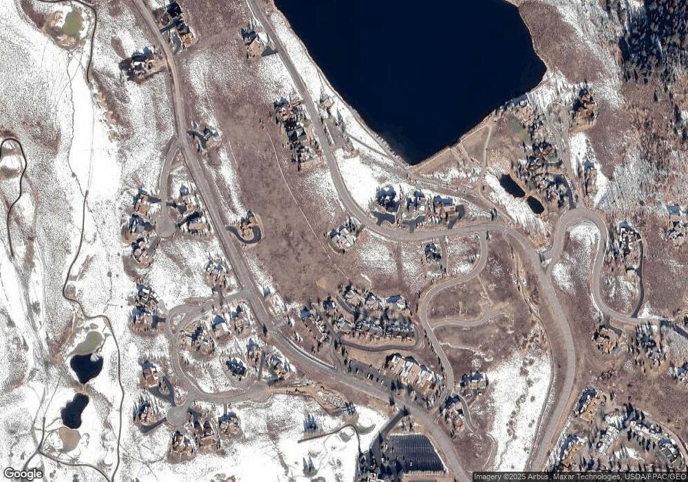
Map
Nearby Homes
- 434 Country Club Dr
- 0 Tbd Saddle Ridge Rd
- 350 Country Club Dr Unit 217A
- 350 Country Club Dr Unit 218A
- 350 Country Club Dr Unit 402A
- 412 Ridge Rd
- 618 Country Club Dr
- 1665 Skyland Dr
- 168 W Silver Sage Dr
- 315 Par Ln
- 253 W Silver Sage Dr
- 491 Slate River Dr
- 402 Eagle Ln
- 180 Elk Valley Rd Unit 124
- 180 Elk Valley Rd Unit 109
- 180 Elk Valley Rd Unit 110
- 180 Elk Valley Rd Unit 102
- 180 Elk Valley Rd Unit 118
- 1294 County Road 734
- 180 Elk Valley Rd Unit 112
- 825 Skyland Dr
- 761 Skyland Dr
- 0 Skyland Dr Unit 5145
- 0 Skyland Dr Unit Homesites at Lake Gr
- 0 Skyland Dr Unit 8938
- 0 Skyland Dr Unit Lot S-163 Skyland Th
- 0 Skyland Dr Unit Bluebonnet Condos Un
- 0 Skyland Dr Unit 2, The Boulders Sout
- 0 Skyland Dr Unit Lot D-6 Skyland Init
- 0 Skyland Dr Unit 12103
- 0 Skyland Dr Unit 1919
- 0 Skyland Dr Unit 1937
- 0 Skyland Dr Unit 2004
- 0 Skyland Dr Unit 2102
- 0 Skyland Dr Unit 2250
- 0 Skyland Dr Unit 2445
- 0 Skyland Dr Unit 2478
- 0 Skyland Dr Unit 2656
- 0 Skyland Dr Unit 2664
- 0 Skyland Dr Unit 2739