Estimated Value: $3,759,000 - $4,628,000
4
Beds
5
Baths
3,545
Sq Ft
$1,170/Sq Ft
Est. Value
About This Home
This home is located at 796 Potato Patch Dr Unit B, Vail, CO 81657 and is currently estimated at $4,148,710, approximately $1,170 per square foot. 796 Potato Patch Dr Unit B is a home located in Eagle County with nearby schools including Red Sandstone Elementary School and Battle Mountain High School.
Ownership History
Date
Name
Owned For
Owner Type
Purchase Details
Closed on
Oct 11, 2013
Sold by
Jkw Family Trust Settlement Of Trust
Bought by
796B Potato Patch Llc
Current Estimated Value
Purchase Details
Closed on
Mar 3, 2003
Sold by
White Jeffrey K
Bought by
Leeper Jefferson and Southpac Trust International I
Purchase Details
Closed on
Feb 11, 2000
Sold by
Mayer Family Llc
Bought by
White Jeffrey K
Home Financials for this Owner
Home Financials are based on the most recent Mortgage that was taken out on this home.
Original Mortgage
$990,000
Interest Rate
8%
Mortgage Type
Purchase Money Mortgage
Create a Home Valuation Report for This Property
The Home Valuation Report is an in-depth analysis detailing your home's value as well as a comparison with similar homes in the area
Home Values in the Area
Average Home Value in this Area
Purchase History
| Date | Buyer | Sale Price | Title Company |
|---|---|---|---|
| 796B Potato Patch Llc | -- | None Available | |
| Leeper Jefferson | -- | -- | |
| White Jeffrey K | $1,800,000 | Land Title |
Source: Public Records
Mortgage History
| Date | Status | Borrower | Loan Amount |
|---|---|---|---|
| Previous Owner | White Jeffrey K | $990,000 |
Source: Public Records
Tax History
| Year | Tax Paid | Tax Assessment Tax Assessment Total Assessment is a certain percentage of the fair market value that is determined by local assessors to be the total taxable value of land and additions on the property. | Land | Improvement |
|---|---|---|---|---|
| 2024 | $11,036 | $232,030 | $81,760 | $150,270 |
| 2023 | $11,036 | $232,030 | $81,760 | $150,270 |
| 2022 | $10,270 | $199,850 | $51,700 | $148,150 |
| 2021 | $10,575 | $205,600 | $53,190 | $152,410 |
| 2020 | $10,134 | $199,690 | $47,280 | $152,410 |
| 2019 | $10,168 | $199,690 | $47,280 | $152,410 |
| 2018 | $8,534 | $164,270 | $57,130 | $107,140 |
| 2017 | $8,492 | $164,270 | $57,130 | $107,140 |
| 2016 | $6,990 | $136,700 | $34,210 | $102,490 |
Source: Public Records
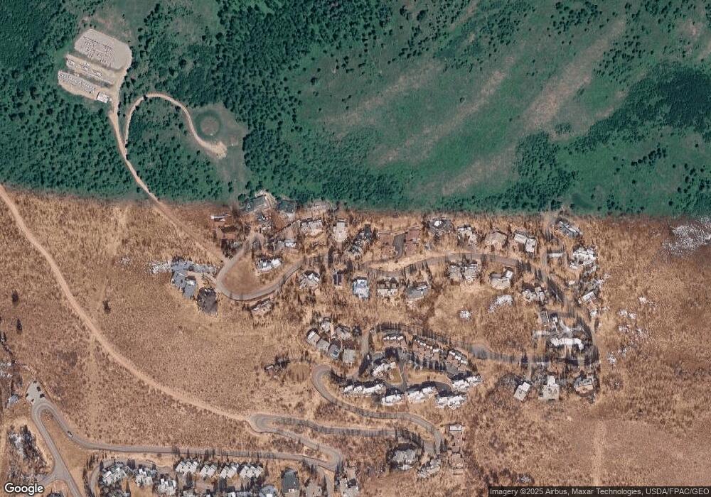
Map
Nearby Homes
- 770 Potato Patch Dr Unit 14
- 780 Potato Patch Dr
- 775 Potato Patch Dr Unit E
- 605 N Frontage Rd W Unit 14A
- 625 N Frontage Rd W Unit 22
- 945 Red Sandstone Rd Unit 5
- 548 S Frontage Rd E Unit 301
- 548 S Frontage Rd W Unit 201
- 508 E Lionshead Cir Unit 604-49
- 508 E Lionshead Cir Unit 310/week 8
- 508 E Lionshead Cir Unit 214
- 508 E Lionshead Cir Unit 310/Week 23
- 508 E Lionshead Cir Unit 105
- 508 E Lionshead Cir Unit 503
- 508 E Lionshead Cir Unit 604/Week 9
- 508 E Lionshead Cir Unit 211/Weeks 15/16/17
- 508 E Lionshead Cir Unit 312/Weeks 8/9/10
- 508 E Lionshead Cir Unit 116-07
- 508 E Lionshead Cir Unit 211/weeks 8 & 9
- 508 E Lionshead Cir Unit 312/Weeks 38 & 39
- 796 Potato Patch Dr Unit A
- 796 Potato Patch Dr
- 798 Potato Patch Dr
- 794 Potato Patch Dr Unit B
- 794 Potato Patch Dr Unit A
- 794 Potato Patch Dr
- 800 Potato Patch Dr Unit B
- 800 Potato Patch Dr Unit A
- 800 Potato Patch Dr
- 792 Potato Patch Dr Unit B
- 792 Potato Patch Dr Unit A
- 792 Potato Patch Dr
- 795 Potato Patch Dr Unit A
- 795 Potato Patch Dr Unit B
- 795 Potato Patch Dr
- 797 Potato Patch Dr
- 808 Potato Patch Dr
- 793 Potato Patch Dr Unit B
- 793 Potato Patch Dr Unit A
- 793 Potato Patch Dr
Your Personal Tour Guide
Ask me questions while you tour the home.