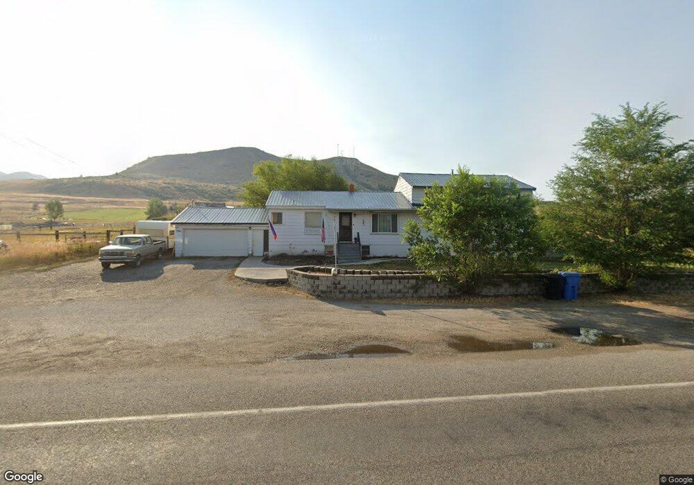
7966 N Highway 91 Smithfield, UT 84335
Estimated Value: $503,000 - $621,000
4
Beds
3
Baths
2,184
Sq Ft
$267/Sq Ft
Est. Value
About This Home
This home is located at 7966 N Highway 91, Smithfield, UT 84335 and is currently estimated at $582,757, approximately $266 per square foot. 7966 N Highway 91 is a home located in Cache County with nearby schools including Birch Creek School, North Cache Middle School, and White Pine Middle School.
Ownership History
Date
Name
Owned For
Owner Type
Purchase Details
Closed on
Oct 2, 2024
Sold by
Welker Eric Willis
Bought by
Welker Eric Willis
Current Estimated Value
Home Financials for this Owner
Home Financials are based on the most recent Mortgage that was taken out on this home.
Original Mortgage
$280,000
Outstanding Balance
$276,574
Interest Rate
6.46%
Mortgage Type
New Conventional
Estimated Equity
$306,183
Purchase Details
Closed on
Sep 27, 2002
Sold by
Connerley Dawn
Bought by
Connerley Richard D and Connerley Dawn
Home Financials for this Owner
Home Financials are based on the most recent Mortgage that was taken out on this home.
Original Mortgage
$136,000
Interest Rate
6.16%
Create a Home Valuation Report for This Property
The Home Valuation Report is an in-depth analysis detailing your home's value as well as a comparison with similar homes in the area
Home Values in the Area
Average Home Value in this Area
Purchase History
| Date | Buyer | Sale Price | Title Company |
|---|---|---|---|
| Welker Eric Willis | -- | Pinnacle Title | |
| Connerley Richard D | -- | Northern Title Company |
Source: Public Records
Mortgage History
| Date | Status | Borrower | Loan Amount |
|---|---|---|---|
| Open | Welker Eric Willis | $280,000 | |
| Previous Owner | Connerley Richard D | $136,000 |
Source: Public Records
Tax History Compared to Growth
Tax History
| Year | Tax Paid | Tax Assessment Tax Assessment Total Assessment is a certain percentage of the fair market value that is determined by local assessors to be the total taxable value of land and additions on the property. | Land | Improvement |
|---|---|---|---|---|
| 2025 | $2,094 | $342,235 | $0 | $0 |
| 2024 | $2,071 | $313,320 | $0 | $0 |
| 2023 | $2,212 | $313,020 | $0 | $0 |
| 2022 | $184 | $248,445 | $0 | $0 |
| 2021 | $1,760 | $351,510 | $107,840 | $243,670 |
| 2020 | $1,579 | $295,440 | $107,840 | $187,600 |
| 2019 | $1,595 | $277,650 | $90,050 | $187,600 |
| 2018 | $1,368 | $228,622 | $90,050 | $138,572 |
| 2017 | $1,344 | $127,970 | $0 | $0 |
| 2016 | $1,360 | $127,970 | $0 | $0 |
| 2015 | $1,357 | $127,970 | $0 | $0 |
| 2014 | $1,199 | $116,635 | $0 | $0 |
| 2013 | -- | $113,270 | $0 | $0 |
Source: Public Records
Map
Nearby Homes
- 0 E 8200 N Unit 1871616
- 1241 E 9300 N
- 101 E 630 N Unit 31
- Avalon Plan at Sunset Ridges
- Ashmore Plan at Sunset Ridges
- Patriot Plan at Sunset Ridges
- Briarwood Plan at Sunset Ridges
- Arlington Plan at Sunset Ridges
- Bannack Plan at Sunset Ridges
- Hayden Plan at Sunset Ridges
- Hudson Plan at Sunset Ridges
- 223 W 730 N
- 257 W 730 N
- 623 N 510 E
- 271 W 730 N
- 609 N 130 E
- 225 W 690 N
- 228 W 690 N
- 128 W 650 N
- 600 Maple Dr
- 7924 N Highway 91
- 7894 U S 91
- 7894 N Highway 91
- 8046 N Highway 91
- 8055 N Highway 91
- 7830 N Highway 91
- 7830 N Highway 91 Unit 2
- 8120 N Highway 91
- 7830 U S 91 Unit 2
- 8106 N Highway 91
- 425 E 8100 N
- 7956 N Highway 91
- 7860 N Highway 91
- 7860 N Hwy 91
- 7810 N Highway 91
- 8149 N Highway 91
- 7896 N Highway 91
- 8157 U S 91
- 8157 N Highway 91
- 8154 N Highway 91