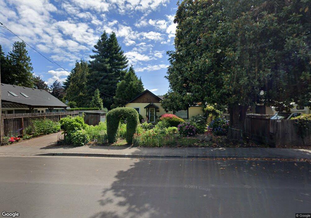
797 Aspen St Springfield, OR 97477
West Springfield NeighborhoodEstimated Value: $301,000 - $353,000
1
Bed
1
Bath
920
Sq Ft
$354/Sq Ft
Est. Value
About This Home
This home is located at 797 Aspen St, Springfield, OR 97477 and is currently estimated at $325,563, approximately $353 per square foot. 797 Aspen St is a home with nearby schools including Centennial Elementary School, Hamlin Middle School, and Springfield High School.
Ownership History
Date
Name
Owned For
Owner Type
Purchase Details
Closed on
Aug 27, 2004
Sold by
Kfp Properties Llc
Bought by
Mckay Beverly Beatrice and Mckay Kjar Tamera Lin
Current Estimated Value
Home Financials for this Owner
Home Financials are based on the most recent Mortgage that was taken out on this home.
Original Mortgage
$87,500
Outstanding Balance
$42,939
Interest Rate
5.95%
Mortgage Type
Seller Take Back
Estimated Equity
$282,624
Purchase Details
Closed on
Oct 18, 2001
Sold by
Leahy Joseph J and Estate Of Robert E Vanhook
Bought by
Mcculloch Robert H
Home Financials for this Owner
Home Financials are based on the most recent Mortgage that was taken out on this home.
Original Mortgage
$83,700
Interest Rate
6.88%
Create a Home Valuation Report for This Property
The Home Valuation Report is an in-depth analysis detailing your home's value as well as a comparison with similar homes in the area
Home Values in the Area
Average Home Value in this Area
Purchase History
| Date | Buyer | Sale Price | Title Company |
|---|---|---|---|
| Mckay Beverly Beatrice | $96,000 | Western Pioneer Title Co | |
| Mcculloch Robert H | $111,600 | Evergreen Land Title Co |
Source: Public Records
Mortgage History
| Date | Status | Borrower | Loan Amount |
|---|---|---|---|
| Open | Mckay Beverly Beatrice | $87,500 | |
| Previous Owner | Mcculloch Robert H | $83,700 |
Source: Public Records
Tax History
| Year | Tax Paid | Tax Assessment Tax Assessment Total Assessment is a certain percentage of the fair market value that is determined by local assessors to be the total taxable value of land and additions on the property. | Land | Improvement |
|---|---|---|---|---|
| 2025 | $2,436 | $132,862 | -- | -- |
| 2024 | $2,397 | $128,993 | -- | -- |
| 2023 | $2,397 | $125,236 | $0 | $0 |
| 2022 | $2,220 | $121,589 | $0 | $0 |
| 2021 | $2,180 | $118,048 | $0 | $0 |
| 2020 | $2,116 | $114,610 | $0 | $0 |
| 2019 | $2,053 | $111,272 | $0 | $0 |
| 2018 | $1,935 | $104,885 | $0 | $0 |
| 2017 | $1,861 | $104,885 | $0 | $0 |
| 2016 | $1,822 | $101,830 | $0 | $0 |
| 2015 | $1,770 | $98,864 | $0 | $0 |
| 2014 | $1,743 | $95,984 | $0 | $0 |
Source: Public Records
Map
Nearby Homes
- 1074 Hamilton St
- 1505 Canal St
- 835 Anderson Ln
- 930 Prescott Ln
- 1130 Anderson Ln
- 552 W D St
- 952 Summit Blvd
- 804 W N St
- 428 W Centennial Blvd
- 535 Pacific Ave
- 207 W D St
- 3955 E 17th Ave
- 1233 1st St
- 2709 E 16th Ave
- 2770 E 16th Ave
- 3360 Chevy Chase St
- 1650 Augusta Aly
- 1652 Augusta Aly
- 1702 Augusta St
- 239 D St
Your Personal Tour Guide
Ask me questions while you tour the home.