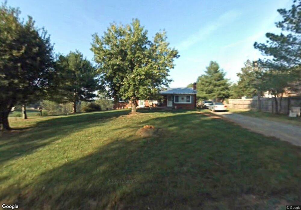
797 Buck Fork Rd Dobson, NC 27017
Estimated Value: $161,631 - $257,000
About This Home
This home is located at 797 Buck Fork Rd, Dobson, NC 27017 and is currently estimated at $203,908, approximately $133 per square foot. 797 Buck Fork Rd is a home located in Surry County with nearby schools including Copeland Elementary School, Central Middle School, and Surry Central High School.
Ownership History
We collect this data history from publicly available records. To have your information removed, we recommend requesting removal directly through your county’s website.
Purchase Details
Home Financials for this Owner
Home Financials are based on the most recent Mortgage that was taken out on this home.Purchase Details
Purchase Details
Purchase History
We collect this data history from publicly available records. To have your information removed, we recommend requesting removal directly through your county’s website.
| Date | Buyer | Sale Price | Title Company |
|---|---|---|---|
| $118,000 | None Available | ||
| -- | None Available | ||
| -- | -- |
Mortgage History
We collect this data history from publicly available records. To have your information removed, we recommend requesting removal directly through your county’s website.
| Date | Status | Borrower | Loan Amount |
|---|---|---|---|
| Open | $75,000 |
Tax History
We collect this data history from publicly available records. To have your information removed, we recommend requesting removal directly through your county’s website.
| Year | Tax Paid | Tax Assessment Tax Assessment Total Assessment is a certain percentage of the fair market value that is determined by local assessors to be the total taxable value of land and additions on the property. | Land | Improvement |
|---|---|---|---|---|
| 2025 | $810 | $127,440 | $7,200 | $120,240 |
| 2024 | $652 | $93,830 | $6,600 | $87,230 |
| 2023 | $642 | $93,830 | $6,600 | $87,230 |
| 2022 | $642 | $93,830 | $6,600 | $87,230 |
| 2021 | $580 | $82,550 | $6,600 | $75,950 |
| 2020 | $557 | $76,800 | $6,600 | $70,200 |
| 2019 | $554 | $76,800 | $0 | $0 |
| 2018 | $545 | $76,800 | $0 | $0 |
| 2017 | $541 | $76,800 | $0 | $0 |
| 2016 | $497 | $70,850 | $0 | $0 |
| 2013 | -- | $69,700 | $0 | $0 |
Map
- 260 Buck Fork Rd
- 0 Jim Snow Rd
- 4797 Rockford Rd
- 151 Goodall Ln
- 1305 Thunder Run Rd
- 610 N Carolina Ave
- 107 Coram Ave
- 613 N Carolina 67
- 612 E Main St
- 4705 N Carolina 67
- 4735 N Carolina 67
- 4727 N Carolina 67
- 0 N Carolina 67
- 110 Baptist Church Rd
- 122 Wallace St
- 6433 Nc 268
- 1625 Charity Church Rd
- 167 Speas Ave
- 136 Howard Ave
- 402 Williams St
- 813 Buck Fork Rd
- 123 High Country Trail
- 839 Buck Fork Rd
- 778 Buck Fork Rd
- 75 Buck Fork Rd
- 21 AC Buck Fork Rd
- 0 Buck Fork Rd
- 912 Buck Fork Rd
- 656 Buck Fork Rd
- 939 Buck Fork Rd
- 940 Buck Fork Rd
- 958 Buck Fork Rd
- 262 High Country Trail
- 975 Buck Fork Rd
- 102 Old Colonial Trail
- 485 Bill Coe Rd
- 494 Buck Fork Rd
- 372 Bill Coe Rd
- 1066 Buck Fork Rd
- 172 Old Colonial Trail
Ask me questions while you tour the home.