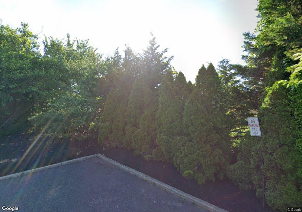
797 Route 37 W Toms River, NJ 08755
Estimated Value: $888,529
--
Bed
--
Bath
6,360
Sq Ft
$140/Sq Ft
Est. Value
About This Home
This home is located at 797 Route 37 W, Toms River, NJ 08755 and is currently priced at $888,529, approximately $139 per square foot. 797 Route 37 W is a home located in Ocean County with nearby schools including St Joseph Grade School, Ambassador Christian Academy, and Donovan Catholic High School.
Ownership History
Date
Name
Owned For
Owner Type
Purchase Details
Closed on
Mar 10, 2016
Sold by
Dover Development Group Llc
Bought by
Route 37 East Associates Llc
Current Estimated Value
Purchase Details
Closed on
Sep 2, 2015
Sold by
Coba Inc
Bought by
Dover Development Group Llc
Purchase Details
Closed on
Sep 22, 2014
Sold by
Munroe Development Llc
Bought by
Coba Inc
Purchase Details
Closed on
Feb 2, 2006
Sold by
Munroe Kenneth
Bought by
Munroe Development Llc
Home Financials for this Owner
Home Financials are based on the most recent Mortgage that was taken out on this home.
Original Mortgage
$100,000
Interest Rate
6.23%
Mortgage Type
Credit Line Revolving
Purchase Details
Closed on
Jun 1, 1999
Sold by
Baiamonte Anthony
Bought by
Munroe Kenneth and Munroe Cheryl
Home Financials for this Owner
Home Financials are based on the most recent Mortgage that was taken out on this home.
Original Mortgage
$276,000
Interest Rate
7.19%
Mortgage Type
Commercial
Create a Home Valuation Report for This Property
The Home Valuation Report is an in-depth analysis detailing your home's value as well as a comparison with similar homes in the area
Home Values in the Area
Average Home Value in this Area
Purchase History
| Date | Buyer | Sale Price | Title Company |
|---|---|---|---|
| Route 37 East Associates Llc | -- | -- | |
| Dover Development Group Llc | $545,000 | Legal Title Agency | |
| Coba Inc | -- | Attorney | |
| Munroe Development Llc | -- | Clear Advantage Title Inc | |
| Munroe Kenneth | $325,000 | -- |
Source: Public Records
Mortgage History
| Date | Status | Borrower | Loan Amount |
|---|---|---|---|
| Previous Owner | Munroe Development Llc | $100,000 | |
| Previous Owner | Munroe Development Llc | $675,000 | |
| Previous Owner | Munroe Kenneth | $276,000 |
Source: Public Records
Tax History Compared to Growth
Tax History
| Year | Tax Paid | Tax Assessment Tax Assessment Total Assessment is a certain percentage of the fair market value that is determined by local assessors to be the total taxable value of land and additions on the property. | Land | Improvement |
|---|---|---|---|---|
| 2025 | $23,163 | $1,272,000 | $648,000 | $624,000 |
| 2024 | $22,018 | $1,272,000 | $648,000 | $624,000 |
| 2023 | $21,230 | $1,272,000 | $648,000 | $624,000 |
| 2022 | $21,230 | $1,272,000 | $648,000 | $624,000 |
| 2021 | $15,634 | $526,100 | $365,000 | $161,100 |
| 2020 | $13,121 | $526,100 | $365,000 | $161,100 |
| 2019 | $12,553 | $526,100 | $365,000 | $161,100 |
| 2018 | $12,829 | $545,000 | $365,000 | $180,000 |
| 2017 | $12,720 | $545,000 | $365,000 | $180,000 |
| 2016 | $12,388 | $545,000 | $365,000 | $180,000 |
| 2015 | $23,086 | $1,055,600 | $728,000 | $327,600 |
| 2014 | $21,978 | $1,055,600 | $728,000 | $327,600 |
Source: Public Records
Map
Nearby Homes
- 12 Harley Rd
- 14 Saint Pierri Ct
- 13 Saint Pierri Ct
- 96 Grenada St
- 12 Michele Dr
- 31 Charlotteville Dr S
- 30 Winding River Dr
- 10 Kinsale St
- 160 Charlotteville Dr S
- 30 Chutney St
- 53 Barbados Dr S
- 937 Edgebrook Dr N
- 37 Oranjestad St
- 44 Chancellor Ct
- 1 York Ct
- 38 Saint David Dr
- 59 Sun Valley Rd
- 15 Brian Ct
- 162 Harrington Dr N
- 696 Jamaica Blvd
- 751 New Jersey 37
- 180 New Jersey 37
- 216 New Jersey 37
- 40 Tuyahov Blvd
- 780 Route 37 W Unit 250
- 780 Route 37 W Unit 310
- 780 Route 37 W Unit 150
- 780 Route 37 W Unit 100
- 780 Route 37 W Unit 220
- 780 Route 37 W Unit 110
- 780 Route 37 W Unit 300
- 780 Route 37 W Unit 210
- 780 Route 37 W Unit 200
- 780 Route 37 W Unit 140
- 780 Route 37 W Unit 130
- 780 Route 37 W Unit 120
- 780 Route 37 W Unit 100
- 780 Route 37 W Unit 235
- 0 Mule Rd
- 6 Tuyahov Blvd
