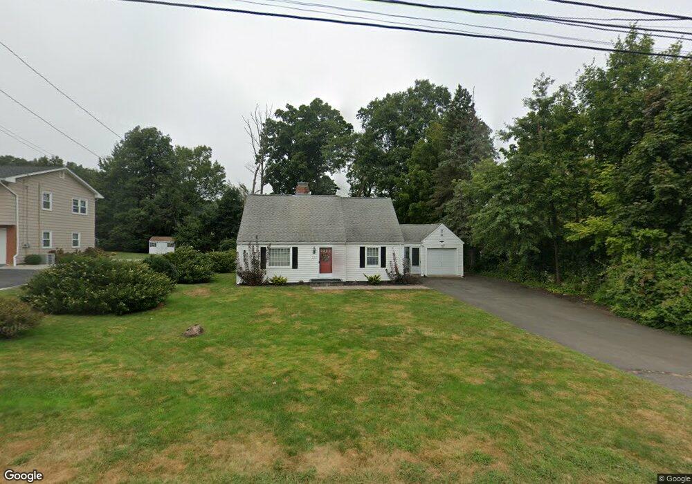
797 Wells Rd Wethersfield, CT 06109
Estimated Value: $406,000 - $435,956
4
Beds
2
Baths
1,482
Sq Ft
$287/Sq Ft
Est. Value
About This Home
This home is located at 797 Wells Rd, Wethersfield, CT 06109 and is currently estimated at $425,489, approximately $287 per square foot. 797 Wells Rd is a home located in Hartford County with nearby schools including Samuel B. Webb Elementary School, Silas Deane Middle School, and Wethersfield High School.
Ownership History
Date
Name
Owned For
Owner Type
Purchase Details
Closed on
May 25, 2001
Sold by
Carto James
Bought by
Martocci Ron Michael and Martocci Deborah
Current Estimated Value
Create a Home Valuation Report for This Property
The Home Valuation Report is an in-depth analysis detailing your home's value as well as a comparison with similar homes in the area
Home Values in the Area
Average Home Value in this Area
Purchase History
| Date | Buyer | Sale Price | Title Company |
|---|---|---|---|
| Martocci Ron Michael | $177,500 | -- |
Source: Public Records
Mortgage History
| Date | Status | Borrower | Loan Amount |
|---|---|---|---|
| Open | Martocci Ron Michael | $147,450 | |
| Closed | Martocci Ron Michael | $158,000 | |
| Closed | Martocci Ron Michael | $175,000 |
Source: Public Records
Tax History
| Year | Tax Paid | Tax Assessment Tax Assessment Total Assessment is a certain percentage of the fair market value that is determined by local assessors to be the total taxable value of land and additions on the property. | Land | Improvement |
|---|---|---|---|---|
| 2025 | $11,103 | $269,350 | $99,960 | $169,390 |
| 2024 | $7,121 | $164,770 | $65,100 | $99,670 |
| 2023 | $6,884 | $164,770 | $65,100 | $99,670 |
| 2022 | $6,769 | $164,770 | $65,100 | $99,670 |
| 2021 | $6,701 | $164,770 | $65,100 | $99,670 |
| 2020 | $6,704 | $164,770 | $65,100 | $99,670 |
| 2019 | $6,713 | $164,770 | $65,100 | $99,670 |
| 2018 | $6,712 | $164,600 | $62,900 | $101,700 |
| 2017 | $6,546 | $164,600 | $62,900 | $101,700 |
| 2016 | $6,344 | $164,600 | $62,900 | $101,700 |
| 2015 | $6,286 | $164,600 | $62,900 | $101,700 |
| 2014 | $6,047 | $164,600 | $62,900 | $101,700 |
Source: Public Records
Map
Nearby Homes
- 20 Forest Dr
- 7 Barrington Dr Unit C
- 129 Goff Rd
- 764 Ridge Rd
- 173 Timber Trail
- 63 Wells Farm Dr
- 15 Potter Crossing
- 25 Tinsmith Crossing
- 42 Dunham St
- 144 Brown St
- 62 Schoolhouse Crossing
- 124 Midwell Rd
- 519 Prospect St
- 274 Cedarwood Ln
- 55 Rutledge Rd
- 43 Edward St
- 158 Dix Rd
- 295 Ridge Rd Unit 8
- 146 Dudley Rd
- 101 Collier Rd
Your Personal Tour Guide
Ask me questions while you tour the home.