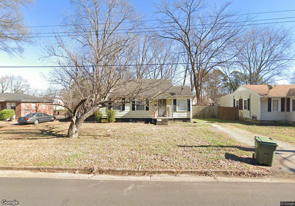
7972 Martha Rd Millington, TN 38053
Estimated Value: $119,073 - $144,000
3
Beds
1
Bath
880
Sq Ft
$146/Sq Ft
Est. Value
About This Home
This home is located at 7972 Martha Rd, Millington, TN 38053 and is currently estimated at $128,768, approximately $146 per square foot. 7972 Martha Rd is a home located in Shelby County with nearby schools including Millington High School and Lighthouse Christian Academy.
Ownership History
Date
Name
Owned For
Owner Type
Purchase Details
Closed on
Oct 29, 2002
Sold by
Womelduff Stacy L Tincher and Womelduff Michael B
Bought by
Mccall Mark and Mccall Jacqueline
Current Estimated Value
Home Financials for this Owner
Home Financials are based on the most recent Mortgage that was taken out on this home.
Original Mortgage
$46,400
Interest Rate
6.01%
Purchase Details
Closed on
Aug 2, 1996
Sold by
Tincher Jeremy Alan
Bought by
Tincher Stacy L
Create a Home Valuation Report for This Property
The Home Valuation Report is an in-depth analysis detailing your home's value as well as a comparison with similar homes in the area
Home Values in the Area
Average Home Value in this Area
Purchase History
| Date | Buyer | Sale Price | Title Company |
|---|---|---|---|
| Mccall Mark | $40,500 | -- | |
| Tincher Stacy L | -- | -- |
Source: Public Records
Mortgage History
| Date | Status | Borrower | Loan Amount |
|---|---|---|---|
| Closed | Mccall Mark | $46,400 |
Source: Public Records
Tax History Compared to Growth
Tax History
| Year | Tax Paid | Tax Assessment Tax Assessment Total Assessment is a certain percentage of the fair market value that is determined by local assessors to be the total taxable value of land and additions on the property. | Land | Improvement |
|---|---|---|---|---|
| 2025 | $417 | $24,950 | $3,275 | $21,675 |
| 2024 | $1,009 | $14,875 | $3,025 | $11,850 |
| 2023 | $713 | $14,875 | $3,025 | $11,850 |
| 2022 | $713 | $14,875 | $3,025 | $11,850 |
| 2021 | $721 | $14,875 | $3,025 | $11,850 |
| 2020 | $658 | $11,800 | $3,025 | $8,775 |
| 2019 | $478 | $11,800 | $3,025 | $8,775 |
| 2018 | $658 | $11,800 | $3,025 | $8,775 |
| 2017 | $666 | $11,800 | $3,025 | $8,775 |
| 2016 | $689 | $11,675 | $0 | $0 |
| 2014 | $510 | $11,675 | $0 | $0 |
Source: Public Records
Map
Nearby Homes
- 7988 Royster Creek Dr E
- 5852 U S Highway 51
- 7963 Royster Creek Dr
- 7955 Royster Creek Dr
- 7943 Royster Creek Dr
- 7988 Royster Creek Dr
- 7932 Royster Creek Dr
- 7942 Royster Creek Dr
- 7980 Royster Creek Dr
- 7994 Royster Creek Dr
- 4734 Janie Ave
- 4721 Janie Ave
- Cali Plan at Huntington Estates
- Aria Plan at Huntington Estates
- Roland Plan at Huntington Estates
- Kerry Plan at Huntington Estates
- FREEPORT Plan at Huntington Estates
- 4752 Janie Cove
- 4655 Doris Cir S
- 8852 U S 51