7975 Tagus Ave Brownton, MN 55312
Estimated Value: $363,000
3
Beds
2
Baths
1,120
Sq Ft
$324/Sq Ft
Est. Value
About This Home
This home is located at 7975 Tagus Ave, Brownton, MN 55312 and is currently estimated at $363,000, approximately $324 per square foot. 7975 Tagus Ave is a home located in McLeod County with nearby schools including Lincoln Elementary School, Lakeside Elementary School, and Glencoe-Silver Lake Jr. High School.
Ownership History
Date
Name
Owned For
Owner Type
Purchase Details
Closed on
Oct 1, 2018
Sold by
Katzenmeyer Klark K and Katzenmeyer Paula J
Bought by
Klark Keith Katzenmeyer and Katzenmeyer Revocable Living Trust
Current Estimated Value
Purchase Details
Closed on
Jun 10, 2013
Sold by
Katzenmeyer Judith A and Katzenmeyer Judith
Bought by
Katzenmeyer Kerry K and Katzenmeyer Klark K
Purchase Details
Closed on
Jun 21, 2011
Sold by
Katzenmeyer Stanley W and Katzenmeyer Judith
Bought by
Katzenmeyer Judith
Create a Home Valuation Report for This Property
The Home Valuation Report is an in-depth analysis detailing your home's value as well as a comparison with similar homes in the area
Home Values in the Area
Average Home Value in this Area
Purchase History
| Date | Buyer | Sale Price | Title Company |
|---|---|---|---|
| Klark Keith Katzenmeyer | -- | None Available | |
| Katzenmeyer Kerry K | -- | -- | |
| Katzenmeyer Judith | -- | -- |
Source: Public Records
Tax History Compared to Growth
Tax History
| Year | Tax Paid | Tax Assessment Tax Assessment Total Assessment is a certain percentage of the fair market value that is determined by local assessors to be the total taxable value of land and additions on the property. | Land | Improvement |
|---|---|---|---|---|
| 2024 | $2,074 | $288,100 | $106,500 | $181,600 |
| 2023 | $2,335 | $271,500 | $96,000 | $175,500 |
| 2022 | $2,174 | $271,200 | $96,000 | $175,200 |
| 2021 | $2,188 | $228,400 | $73,700 | $154,700 |
| 2020 | $2,190 | $228,400 | $73,700 | $154,700 |
| 2019 | $1,554 | $242,000 | $76,100 | $165,900 |
| 2018 | $1,514 | $0 | $0 | $0 |
| 2017 | $1,550 | $0 | $0 | $0 |
| 2016 | $1,606 | $0 | $0 | $0 |
| 2015 | -- | $0 | $0 | $0 |
| 2014 | -- | $0 | $0 | $0 |
Source: Public Records
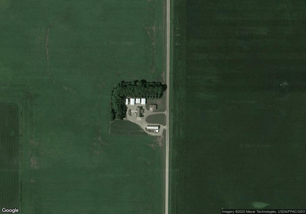
Map
Nearby Homes
- XXX US Hwy 212
- xxx Lot 2 Us Hwy 212
- xxx Lot 3 Division St W
- 304 1st Ave N
- 122 2nd Ave S
- 237 5th St N
- 221 3rd Ave S
- 531 2nd St N
- Lot 2 U S Highway 212
- 7612 Plum Ave
- 752 2nd St N
- 12893 County Road 7
- 11655 Sunset Cir
- 16452 90th St
- 11742 Sunset Cir
- 800 Powers St
- Lot 2 Tagus Ave
- 13198 100th St
- 7900 Lace Ave
- 7900 Lace Ave N