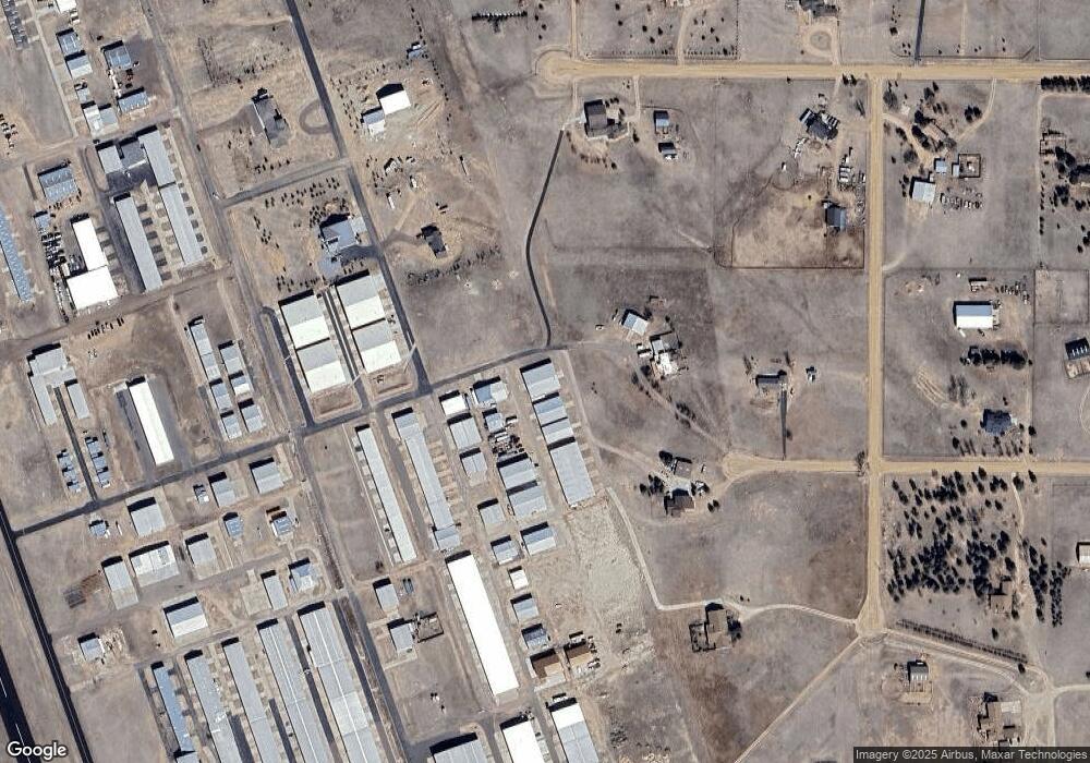
7989 Cessna Dr Unit 1 Peyton, CO 80831
Falcon NeighborhoodEstimated Value: $352,411
Studio
--
Bath
3,322
Sq Ft
$106/Sq Ft
Est. Value
About This Home
This home is located at 7989 Cessna Dr Unit 1, Peyton, CO 80831 and is currently estimated at $352,411, approximately $106 per square foot. 7989 Cessna Dr Unit 1 is a home located in El Paso County with nearby schools including Falcon Elementary School Of Technology, Falcon Middle School, and Falcon High School.
Ownership History
Date
Name
Owned For
Owner Type
Purchase Details
Closed on
Aug 18, 2022
Sold by
Breese Tery L
Bought by
7989 Cessna Drive Llc
Current Estimated Value
Purchase Details
Closed on
Jan 30, 2008
Sold by
Tri Star Systems Inc
Bought by
Breese Terry L
Home Financials for this Owner
Home Financials are based on the most recent Mortgage that was taken out on this home.
Original Mortgage
$152,350
Interest Rate
6.15%
Mortgage Type
Commercial
Create a Home Valuation Report for This Property
The Home Valuation Report is an in-depth analysis detailing your home's value as well as a comparison with similar homes in the area
Home Values in the Area
Average Home Value in this Area
Purchase History
| Date | Buyer | Sale Price | Title Company |
|---|---|---|---|
| 7989 Cessna Drive Llc | -- | Mulliken Weiner Berg & Jolivet | |
| Breese Terry L | $270,000 | Title America |
Source: Public Records
Mortgage History
| Date | Status | Borrower | Loan Amount |
|---|---|---|---|
| Previous Owner | Breese Terry L | $152,350 |
Source: Public Records
Tax History Compared to Growth
Tax History
| Year | Tax Paid | Tax Assessment Tax Assessment Total Assessment is a certain percentage of the fair market value that is determined by local assessors to be the total taxable value of land and additions on the property. | Land | Improvement |
|---|---|---|---|---|
| 2025 | $2,508 | $41,820 | -- | -- |
| 2024 | $2,497 | $43,210 | $5,480 | $37,730 |
| 2023 | $2,497 | $43,210 | $5,480 | $37,730 |
| 2022 | $2,884 | $41,540 | $4,750 | $36,790 |
| 2021 | $2,916 | $41,540 | $4,750 | $36,790 |
| 2020 | $2,929 | $41,540 | $3,890 | $37,650 |
| 2019 | $2,902 | $41,540 | $3,890 | $37,650 |
| 2018 | $2,636 | $37,090 | $3,190 | $33,900 |
| 2017 | $2,415 | $37,090 | $3,190 | $33,900 |
| 2016 | $2,224 | $33,720 | $2,900 | $30,820 |
| 2015 | $2,227 | $33,720 | $2,900 | $30,820 |
| 2014 | -- | $33,720 | $2,900 | $30,820 |
Source: Public Records
Map
Nearby Homes
- 14470 Seminole Ln
- 8815 Jae Lynn Dr
- 8071 Estacado Place
- 7854 Truchas Trail
- 7776 Truchas Trail
- 7698 Truchas Trail
- 7621 Truchas Trail
- Summit Plan at Saddlehorn Ranch
- Dolores Peak Plan at Saddlehorn Ranch
- Durango Plan at Saddlehorn Ranch
- Haven Plan at Saddlehorn Ranch
- Monarch Plan at Saddlehorn Ranch
- 7464 Truchas Trail
- 14891 Oscuro Trail
- 14961 Oscuro Trail
- 15381 Oscuro Trail
- 8107 Fort Smith Rd
- 15150 Del Cerro Trail
- 15101 Oscuro Trail
- 6545 Connie Lee Ct
- 7989 Cessna Dr Unit 2
- 14050 Seminole Ln
- 7959 Cessna Dr Unit 3
- 14115 Seminole Ln
- 8163 Airpark Heights
- 14180 Seminole Ln
- 7999 Nico Way
- 7992 Nico Way
- 8077 Nico Way
- 8052 Nico Way
- 8064 Nico Way
- 8070 Nico Way
- 8052 Jayla Trail
- 7993 Nico Way
- 7987 Nico Way
- 8029 Nico Way
- 8016 Nico Way
- 8089 Nico Way
- 8004 Nico Way
- 8059 Nico Way
