Estimated Value: $330,000 - $381,000
2
Beds
2
Baths
1,424
Sq Ft
$248/Sq Ft
Est. Value
About This Home
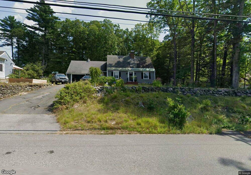
This home is located at 799 Chestnut Hill Ave, Athol, MA 01331 and is currently estimated at $353,539, approximately $248 per square foot. 799 Chestnut Hill Ave is a home located in Worcester County with nearby schools including Athol High School.
Ownership History
Date
Name
Owned For
Owner Type
Purchase Details
Closed on
Nov 13, 2018
Sold by
Colo Kevin and Billings Arthur
Bought by
Colo Sarah E
Current Estimated Value
Home Financials for this Owner
Home Financials are based on the most recent Mortgage that was taken out on this home.
Original Mortgage
$184,000
Outstanding Balance
$154,696
Interest Rate
4.7%
Mortgage Type
New Conventional
Estimated Equity
$198,843
Purchase Details
Closed on
Jan 11, 2011
Sold by
John M Currie Ret
Bought by
Currie John N
Purchase Details
Closed on
Jun 24, 2004
Sold by
Currie John M
Bought by
John M Currie Ret and Bank Of Western Mass
Create a Home Valuation Report for This Property
The Home Valuation Report is an in-depth analysis detailing your home's value as well as a comparison with similar homes in the area
Home Values in the Area
Average Home Value in this Area
Purchase History
| Date | Buyer | Sale Price | Title Company |
|---|---|---|---|
| Colo Sarah E | $230,000 | -- | |
| Currie John N | -- | -- | |
| John M Currie Ret | -- | -- |
Source: Public Records
Mortgage History
| Date | Status | Borrower | Loan Amount |
|---|---|---|---|
| Open | Colo Sarah E | $184,000 |
Source: Public Records
Tax History Compared to Growth
Tax History
| Year | Tax Paid | Tax Assessment Tax Assessment Total Assessment is a certain percentage of the fair market value that is determined by local assessors to be the total taxable value of land and additions on the property. | Land | Improvement |
|---|---|---|---|---|
| 2025 | $3,767 | $296,400 | $65,900 | $230,500 |
| 2024 | $3,605 | $281,000 | $63,400 | $217,600 |
| 2023 | $3,441 | $245,100 | $45,900 | $199,200 |
| 2022 | $3,332 | $207,600 | $43,800 | $163,800 |
| 2021 | $3,152 | $178,500 | $39,800 | $138,700 |
| 2020 | $2,941 | $171,200 | $36,200 | $135,000 |
| 2019 | $2,722 | $156,000 | $34,200 | $121,800 |
| 2018 | $2,374 | $142,000 | $31,100 | $110,900 |
| 2017 | $2,374 | $125,800 | $31,100 | $94,700 |
| 2016 | $2,374 | $119,700 | $31,100 | $88,600 |
| 2015 | $2,278 | $119,700 | $31,100 | $88,600 |
| 2014 | $2,206 | $119,700 | $31,100 | $88,600 |
Source: Public Records
Map
Nearby Homes
- 817 Chestnut Hill Ave
- 773 Chestnut Hill Ave
- 41 Old Keene Rd
- 102 Old Keene Rd
- 727 Chestnut Hill Ave
- 60 Benton Place
- 116 Old Keene Rd
- 60 Old Keene Rd
- 718 Chestnut Hill Ave
- 122 Benton Place
- 0 Benton Place
- 82 Benton Place
- 20 Old Keene Rd
- Lot 1E Old Keene Rd
- 697 Chestnut Hill Ave
- 140 Old Keene Rd
- 11 Old Keene Rd
- 102 Benton Place
- 162 Old Keene Rd
- 1 Old Keene Rd