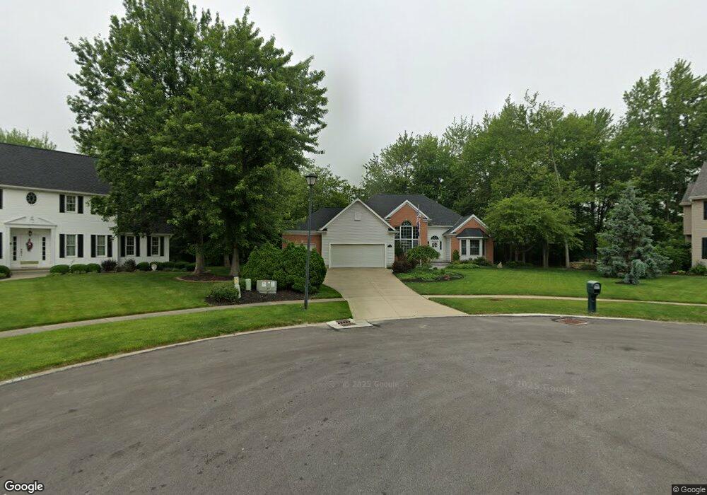
799 N Woodhill Dr Amherst, OH 44001
Estimated Value: $342,000 - $391,000
3
Beds
3
Baths
2,071
Sq Ft
$179/Sq Ft
Est. Value
About This Home
This home is located at 799 N Woodhill Dr, Amherst, OH 44001 and is currently estimated at $371,272, approximately $179 per square foot. 799 N Woodhill Dr is a home located in Lorain County with nearby schools including Powers Elementary School, Walter G. Nord Middle School, and Amherst Junior High School.
Ownership History
Date
Name
Owned For
Owner Type
Purchase Details
Closed on
Jun 8, 1999
Sold by
Route 58 Corporation
Bought by
Repko James E and Repko Cheryl R
Current Estimated Value
Home Financials for this Owner
Home Financials are based on the most recent Mortgage that was taken out on this home.
Original Mortgage
$195,500
Outstanding Balance
$51,305
Interest Rate
6.99%
Mortgage Type
Construction
Estimated Equity
$319,967
Create a Home Valuation Report for This Property
The Home Valuation Report is an in-depth analysis detailing your home's value as well as a comparison with similar homes in the area
Home Values in the Area
Average Home Value in this Area
Purchase History
| Date | Buyer | Sale Price | Title Company |
|---|---|---|---|
| Repko James E | $42,000 | Midland Title |
Source: Public Records
Mortgage History
| Date | Status | Borrower | Loan Amount |
|---|---|---|---|
| Open | Repko James E | $195,500 |
Source: Public Records
Tax History Compared to Growth
Tax History
| Year | Tax Paid | Tax Assessment Tax Assessment Total Assessment is a certain percentage of the fair market value that is determined by local assessors to be the total taxable value of land and additions on the property. | Land | Improvement |
|---|---|---|---|---|
| 2024 | $4,581 | $123,232 | $16,776 | $106,456 |
| 2023 | $3,697 | $86,331 | $13,391 | $72,940 |
| 2022 | $3,563 | $86,331 | $13,391 | $72,940 |
| 2021 | $3,573 | $86,331 | $13,391 | $72,940 |
| 2020 | $3,440 | $75,080 | $11,650 | $63,430 |
| 2019 | $3,372 | $75,080 | $11,650 | $63,430 |
| 2018 | $3,389 | $75,080 | $11,650 | $63,430 |
| 2017 | $3,475 | $72,600 | $12,000 | $60,600 |
| 2016 | $3,504 | $72,600 | $12,000 | $60,600 |
| 2015 | $3,484 | $72,600 | $12,000 | $60,600 |
| 2014 | $3,675 | $75,780 | $12,520 | $63,260 |
| 2013 | $3,687 | $75,780 | $12,520 | $63,260 |
Source: Public Records
Map
Nearby Homes
- 707 Greenlawn Dr
- 117 Fall Lake Ln
- 922 Sharondale Dr
- 726 Sunrise Dr
- 0 Cooper Foster Park Rd Unit 5129838
- 1011 N Main St
- 105 N Woodhill Dr
- 1273 Spruce Tree Ln
- 825 Cleveland Ave
- 47020 Cooper Foster Park Rd
- 3489 Coopers Trail
- 320 Pebble Creek Ct
- Pine w/ Full Basement Plan at Quarry Creek
- Poplar Plan at Quarry Creek
- 60 Flamingo Ave
- 135 Ridgeland Dr
- 357 Pebble Creek Ct
- 41 Flamingo Ave
- 8 Riviera Ave
- 127 Tropicana Ave
- 791 N Woodhill Dr
- 790 N Woodhill Dr
- 781 N Woodhill Dr
- 780 N Woodhill Dr
- 788 Terra Ln
- 770 N Woodhill Dr
- 809 Timberview Dr
- 789 Terra Ln
- 785 Terra Ln
- 828 Lincoln St
- 760 N Woodhill Dr
- 819 Timberview Dr
- 784 Terra Ln
- 826 Lincoln St
- 851 Princeton Ave
- 710 N Woodhill Dr
- 808 Timberview Dr
- 824 Lincoln St
- 857 Princeton Ave
- 852 Princeton Ave