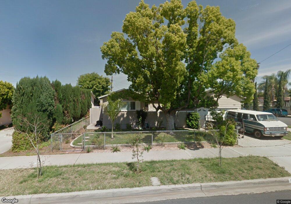
799 Taft Ave El Cajon, CA 92020
Estimated Value: $706,933 - $742,000
3
Beds
2
Baths
1,128
Sq Ft
$642/Sq Ft
Est. Value
About This Home
This home is located at 799 Taft Ave, El Cajon, CA 92020 and is currently estimated at $724,483, approximately $642 per square foot. 799 Taft Ave is a home located in San Diego County with nearby schools including Anza Elementary School, Cajon Valley Middle School, and Valhalla High.
Ownership History
Date
Name
Owned For
Owner Type
Purchase Details
Closed on
Jun 27, 2025
Sold by
Ruthanne M King Trust and King Ruthanne M
Bought by
Schuh Timothy J and Schuh Eve R
Current Estimated Value
Purchase Details
Closed on
Sep 15, 2022
Sold by
King Ruthanne
Bought by
Ruthanne M King Trust
Purchase Details
Closed on
Apr 28, 2014
Sold by
Moritz Lance Rowland and Moritz Michelle Kaiser
Bought by
King Ruthanne
Purchase Details
Closed on
Feb 27, 2000
Sold by
Friednash Edna M
Bought by
Moritz Lance Rowland and Moritz Michelle Kaiser
Home Financials for this Owner
Home Financials are based on the most recent Mortgage that was taken out on this home.
Original Mortgage
$189,000
Interest Rate
8.3%
Mortgage Type
VA
Create a Home Valuation Report for This Property
The Home Valuation Report is an in-depth analysis detailing your home's value as well as a comparison with similar homes in the area
Purchase History
| Date | Buyer | Sale Price | Title Company |
|---|---|---|---|
| Schuh Timothy J | -- | None Listed On Document | |
| Ruthanne M King Trust | -- | -- | |
| King Ruthanne | $310,000 | Stewart Title Of Ca Inc | |
| Moritz Lance Rowland | $189,000 | First American Title |
Source: Public Records
Mortgage History
| Date | Status | Borrower | Loan Amount |
|---|---|---|---|
| Previous Owner | Moritz Lance Rowland | $189,000 |
Source: Public Records
Tax History
| Year | Tax Paid | Tax Assessment Tax Assessment Total Assessment is a certain percentage of the fair market value that is determined by local assessors to be the total taxable value of land and additions on the property. | Land | Improvement |
|---|---|---|---|---|
| 2025 | $5,392 | $380,006 | $160,848 | $219,158 |
| 2024 | $5,392 | $372,556 | $157,695 | $214,861 |
| 2023 | $5,294 | $365,252 | $154,603 | $210,649 |
| 2022 | $5,276 | $358,091 | $151,572 | $206,519 |
| 2021 | $5,264 | $351,070 | $148,600 | $202,470 |
| 2020 | $5,126 | $347,471 | $147,077 | $200,394 |
| 2019 | $4,180 | $340,659 | $144,194 | $196,465 |
| 2018 | $4,112 | $333,980 | $141,367 | $192,613 |
| 2017 | $30 | $327,433 | $138,596 | $188,837 |
| 2016 | $3,898 | $321,014 | $135,879 | $185,135 |
| 2015 | $3,879 | $316,193 | $133,838 | $182,355 |
| 2014 | $2,917 | $236,956 | $100,299 | $136,657 |
Source: Public Records
Map
Nearby Homes
- 896 Salina St
- 792 Avocado Ave Unit 26
- 792 Avocado Ave Unit 25
- 307 E Washington Ave
- 975-89 S Lincoln Ave
- 527 Claydelle Ave
- 154 Lindell Ave
- 175 E Washington Ave
- 469 Taft Ave
- 851 S Mollison Ave
- 637 Jefferson Ave
- 749 S Mollison Ave Unit 27
- 606 S Mollison Ave Unit A
- 477 S Lincoln Ave
- 986 Merritt Dr
- 438 S Anza St
- 732 E Lexington Ave Unit 19
- 410 S 1st St Unit 188
- 410 S 1st St Unit 94
- 410 S 1st St Unit 156
Your Personal Tour Guide
Ask me questions while you tour the home.