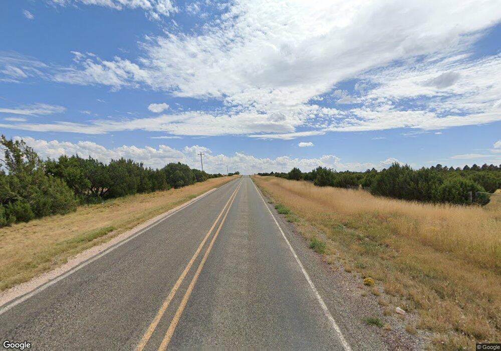
7990 State Highway 55 Mountainair, NM 87036
Manzano Mountain NeighborhoodEstimated Value: $88,739 - $367,000
--
Bed
--
Bath
--
Sq Ft
140
Acres
About This Home
This home is located at 7990 State Highway 55, Mountainair, NM 87036 and is currently estimated at $232,580. 7990 State Highway 55 is a home.
Ownership History
Date
Name
Owned For
Owner Type
Purchase Details
Closed on
Jul 14, 2025
Sold by
Guillen J Anthony J and Guillen Abigail Isabella
Bought by
Bermudez Raymond and Koteen Emilia
Current Estimated Value
Home Financials for this Owner
Home Financials are based on the most recent Mortgage that was taken out on this home.
Original Mortgage
$131,250
Outstanding Balance
$131,028
Interest Rate
6.85%
Mortgage Type
New Conventional
Estimated Equity
$101,552
Purchase Details
Closed on
Sep 16, 2015
Sold by
Bermudez Jack
Bought by
Bermudez Jack
Create a Home Valuation Report for This Property
The Home Valuation Report is an in-depth analysis detailing your home's value as well as a comparison with similar homes in the area
Home Values in the Area
Average Home Value in this Area
Purchase History
| Date | Buyer | Sale Price | Title Company |
|---|---|---|---|
| Bermudez Raymond | -- | Fidelity National Title | |
| Bermudez Raymond | -- | Fidelity National Title | |
| Bermudez Jack | -- | None Available |
Source: Public Records
Mortgage History
| Date | Status | Borrower | Loan Amount |
|---|---|---|---|
| Open | Bermudez Raymond | $131,250 | |
| Closed | Bermudez Raymond | $131,250 |
Source: Public Records
Tax History Compared to Growth
Tax History
| Year | Tax Paid | Tax Assessment Tax Assessment Total Assessment is a certain percentage of the fair market value that is determined by local assessors to be the total taxable value of land and additions on the property. | Land | Improvement |
|---|---|---|---|---|
| 2024 | $341 | $15,595 | $11,432 | $4,163 |
| 2023 | $337 | $15,391 | $11,350 | $4,041 |
| 2022 | $341 | $15,194 | $11,270 | $3,924 |
| 2021 | $332 | $15,194 | $11,270 | $3,924 |
| 2020 | $322 | $15,140 | $11,259 | $3,881 |
| 2019 | $324 | $17,788 | $10,018 | $7,770 |
| 2018 | $323 | $13,889 | $10,008 | $3,881 |
| 2017 | $312 | $13,902 | $0 | $0 |
| 2016 | $215 | $0 | $0 | $0 |
| 2015 | -- | $0 | $0 | $0 |
| 2014 | -- | $9,358 | $2,507 | $6,850 |
Source: Public Records
Map
Nearby Homes
- 0 Lots 10 & 1 Unit 992570
- 8347 State Highway 55
- 0 March St Unit 1053913
- 2 Lots Torreon Heights Rd W
- 0 S: 20 T: 6n R: 6e Nw4sw4sw4 Unit 1082699
- 0 Canta Ranas Rd Unit 1042353
- 13 Nottingham Dr
- Lot 5 Sherwood Forest Dr
- Lot 37 Sherwood Forest Dr
- 37 Sherwood Forest Dr
- 5 Sherwood Forest Dr
- 0 Oakwood Rd Unit 3 1011057
- 0 S: 20 T: 6n R: 6e Se4se4sw4sw4 Unit 1082713
- 0 Spencer Ranch Rd Unit 1085254
- 0 County Road A012 Unit 15
- 0 County Road A012 Unit 14 1026069
- 321 Riley Rd
- 0 Tract V-A-1 4th of July Rd Unit 1086164
- 0 Tract V-B-2 4th of July Unit 1090505
- 0 Applewood Lot 13 Blk D Dr Unit 13
- 7985 State Highway 55
- 9 Ten Pines Rd
- 0 Absher Rd Unit 866020
- 0 Absher Rd Unit 741098
- 90 Ten Pines Rd W
- 95 Ten Pines Rd W
- 65 Absher Rd W
- 69 Ten Pines Rd
- 69 Ten Pines Rd
- 80 Ten Pines Rd W
- 71 Ten Pines Rd
- 8040 State Highway 55
- 50A W Mae Rd
- 69A W Mae Rd
- 85 Ten Pines Rd
- 50C W Mae Rd
- 50B W Mae Rd
- 69B W Main St
- 100 Ten Pines Rd W
- 85 Ten Pines Rd
