7993 220th St E Hampton, MN 55031
Estimated Value: $550,000 - $771,070
4
Beds
3
Baths
2,786
Sq Ft
$235/Sq Ft
Est. Value
About This Home
This home is located at 7993 220th St E, Hampton, MN 55031 and is currently estimated at $653,768, approximately $234 per square foot. 7993 220th St E is a home located in Dakota County with nearby schools including Pinecrest Elementary School, Hastings Middle School, and Hastings High School.
Ownership History
Date
Name
Owned For
Owner Type
Purchase Details
Closed on
May 11, 2020
Sold by
Endres David N and Endres Sarah L
Bought by
Wagner Stephen J and Wagner Catherine M
Current Estimated Value
Home Financials for this Owner
Home Financials are based on the most recent Mortgage that was taken out on this home.
Original Mortgage
$247,500
Outstanding Balance
$218,839
Interest Rate
3.3%
Mortgage Type
Future Advance Clause Open End Mortgage
Estimated Equity
$434,929
Purchase Details
Closed on
Dec 9, 2005
Sold by
Wagner Aloys D and Wagner Mary A
Bought by
Wagner Steven J and Wagner Catherine M
Create a Home Valuation Report for This Property
The Home Valuation Report is an in-depth analysis detailing your home's value as well as a comparison with similar homes in the area
Purchase History
| Date | Buyer | Sale Price | Title Company |
|---|---|---|---|
| Wagner Stephen J | $250,500 | Dca Title | |
| Wagner Steven J | -- | -- |
Source: Public Records
Mortgage History
| Date | Status | Borrower | Loan Amount |
|---|---|---|---|
| Open | Wagner Stephen J | $247,500 |
Source: Public Records
Tax History
| Year | Tax Paid | Tax Assessment Tax Assessment Total Assessment is a certain percentage of the fair market value that is determined by local assessors to be the total taxable value of land and additions on the property. | Land | Improvement |
|---|---|---|---|---|
| 2024 | $4,546 | $704,800 | $134,700 | $570,100 |
| 2023 | $4,546 | $709,700 | $133,600 | $576,100 |
| 2022 | $3,694 | $631,300 | $126,400 | $504,900 |
| 2021 | $3,730 | $493,900 | $97,300 | $396,600 |
| 2020 | $3,668 | $496,300 | $93,700 | $402,600 |
| 2019 | $3,397 | $459,700 | $89,200 | $370,500 |
| 2018 | $3,503 | $402,500 | $83,700 | $318,800 |
| 2017 | $3,262 | $395,900 | $78,600 | $317,300 |
| 2016 | $3,146 | $374,900 | $75,600 | $299,300 |
| 2015 | $3,087 | $344,931 | $72,250 | $272,681 |
| 2014 | -- | $334,775 | $68,941 | $265,834 |
| 2013 | -- | $328,044 | $63,759 | $264,285 |
Source: Public Records
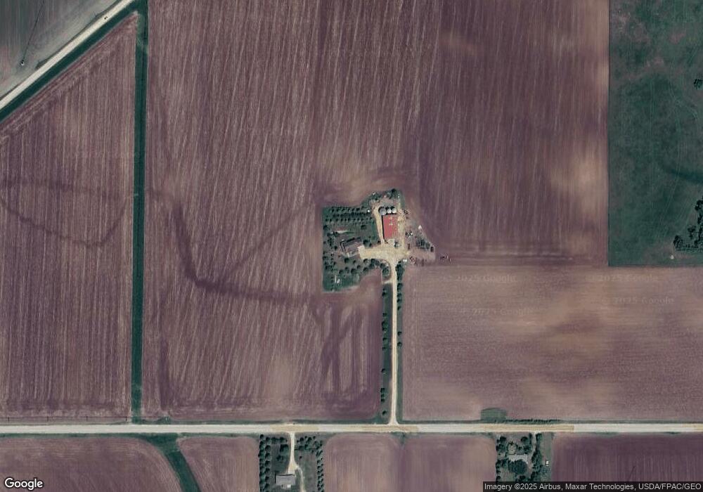
Map
Nearby Homes
- 23250 Northfield Blvd
- 23511 Belmont St
- 23345 Water St
- 23712 Belle Ct
- 23820 Main St
- TBD Richard J Ames Memorial Hwy
- TBD 250th St E
- 18290 Clayton Ave
- 9685 160th St E
- 15775 Frame Ave
- 2685 Woodcliffe Trail
- 1634 River Shore Dr
- 1780 River Shore Dr
- 1730 River Shore Dr
- 20755 Ahern Blvd
- 1168 Sherman Way
- 1796 Cobblestone Ct
- 1079 S Pointe Dr
- 4944 280th St E
- 23920 Nicolai Ave
- 7542 220th St E
- 8120 220th St E
- 8243 220th St E
- 21502 Lewiston Blvd
- 21920 Goodwin Ave
- 21495 Lewiston Blvd
- 21480 Lewiston Blvd
- 21480 Lewiston Blvd
- 21489 Lewiston Blvd
- 21831 Hogan Ave
- 21450 Lewiston Blvd
- 21805 Hogan Ave
- 21469 Lewiston Blvd
- 21765 Hogan Ave
- 21988 Lewiston Blvd
- 22215 Hogan Ave
- 22450 Goodwin Ave
- 22149 Goodwin Ave
- 8517 220th St E
- 22250 Goodwin Ave
Your Personal Tour Guide
Ask me questions while you tour the home.