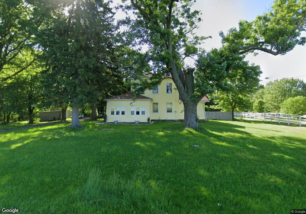
7999 Youngstown Salem Rd Canfield, OH 44406
Estimated Value: $273,790 - $361,000
3
Beds
2
Baths
2,297
Sq Ft
$139/Sq Ft
Est. Value
About This Home
This home is located at 7999 Youngstown Salem Rd, Canfield, OH 44406 and is currently estimated at $319,698, approximately $139 per square foot. 7999 Youngstown Salem Rd is a home located in Mahoning County with nearby schools including Canfield Village Middle School and Canfield High School.
Ownership History
Date
Name
Owned For
Owner Type
Purchase Details
Closed on
Jul 31, 2023
Sold by
Kollat James R and Kollat Laura
Bought by
Leonard Interchange Llc
Current Estimated Value
Purchase Details
Closed on
Sep 2, 2014
Sold by
Suhar Andrew W
Bought by
Kollat James R
Purchase Details
Closed on
Mar 18, 1997
Sold by
Sullivan Gene
Bought by
Jackson Randi L and Jackson David B
Home Financials for this Owner
Home Financials are based on the most recent Mortgage that was taken out on this home.
Original Mortgage
$110,000
Interest Rate
7.45%
Mortgage Type
New Conventional
Purchase Details
Closed on
Sep 13, 1996
Sold by
Sullivan Gene R
Bought by
Kollat James R and Kollat Laura
Create a Home Valuation Report for This Property
The Home Valuation Report is an in-depth analysis detailing your home's value as well as a comparison with similar homes in the area
Home Values in the Area
Average Home Value in this Area
Purchase History
| Date | Buyer | Sale Price | Title Company |
|---|---|---|---|
| Leonard Interchange Llc | $150,000 | None Listed On Document | |
| Leonard Interchange Llc | $150,000 | None Listed On Document | |
| Kollat James R | $17,000 | Attorney | |
| Jackson Randi L | $120,000 | -- | |
| Kollat James R | $100,000 | -- |
Source: Public Records
Mortgage History
| Date | Status | Borrower | Loan Amount |
|---|---|---|---|
| Previous Owner | Jackson Randi L | $110,000 |
Source: Public Records
Tax History Compared to Growth
Tax History
| Year | Tax Paid | Tax Assessment Tax Assessment Total Assessment is a certain percentage of the fair market value that is determined by local assessors to be the total taxable value of land and additions on the property. | Land | Improvement |
|---|---|---|---|---|
| 2024 | $2,704 | $63,450 | $9,960 | $53,490 |
| 2023 | $2,606 | $63,450 | $9,960 | $53,490 |
| 2022 | $2,262 | $43,770 | $9,160 | $34,610 |
| 2021 | $2,193 | $43,770 | $9,160 | $34,610 |
| 2020 | $2,203 | $43,770 | $9,160 | $34,610 |
| 2019 | $2,254 | $39,250 | $9,160 | $30,090 |
| 2018 | $2,069 | $39,250 | $9,160 | $30,090 |
| 2017 | $2,066 | $39,250 | $9,160 | $30,090 |
| 2016 | $1,928 | $34,850 | $8,610 | $26,240 |
| 2015 | $1,885 | $34,850 | $8,610 | $26,240 |
| 2014 | $1,893 | $34,850 | $8,610 | $26,240 |
| 2013 | $1,824 | $34,850 | $8,610 | $26,240 |
Source: Public Records
Map
Nearby Homes
- 6695 Leffingwell Rd
- 8475 Youngstown - Salem Rd
- 7518 Youngstown Salem Rd
- 7850 Meadowood Dr
- 8068 Maplevale Dr
- 8000 Briarwood Ct Unit 22
- 8015 Briarwood Ct Unit 6
- 8131 Leffingwell Rd
- 8020 Briarwood Ct
- 8075 Meadowood Dr
- 6605 Covington Cove
- 18 Hunters Woods Blvd Unit C
- 6020 (LOT #39) Century Blvd
- 7120 (LOT #32) S Palmyra Rd
- 6080 (LOT 44) Century Blvd
- 6090 Century Blvd
- 7060 (LOT #29) S Palmyra Rd
- 6135 (LOT #65) Century Blvd
- 6025 (LOT #54) Century Blvd
- 7040 (LOT #28) S Palmyra Rd
- 8025 Youngstown Salem Rd
- 7125 Leffingwell Rd
- 8051 Youngstown Salem Rd
- 8125 Youngstown Salem Rd
- 7804 Youngstown - Salem Rd
- 8011 Youngstown Salem Rd
- 8011 Youngstown Salem Rd
- 7325 Leffingwell Rd
- 7000 Leffingwell Rd
- 7842 Youngstown Salem Rd
- 8066 S Palmyra Rd
- 6959 Leffingwell Rd
- 8133 Youngstown - Salem Rd
- 6935 Leffingwell Rd
- 8105 Leffingwell Rd
- 8105 Leffingwell Ct
- 8080 Leffingwell Ct
- 6940 Leffingwell Rd
- 7092 Killdeer Dr
- 8130 Leffingwell Rd