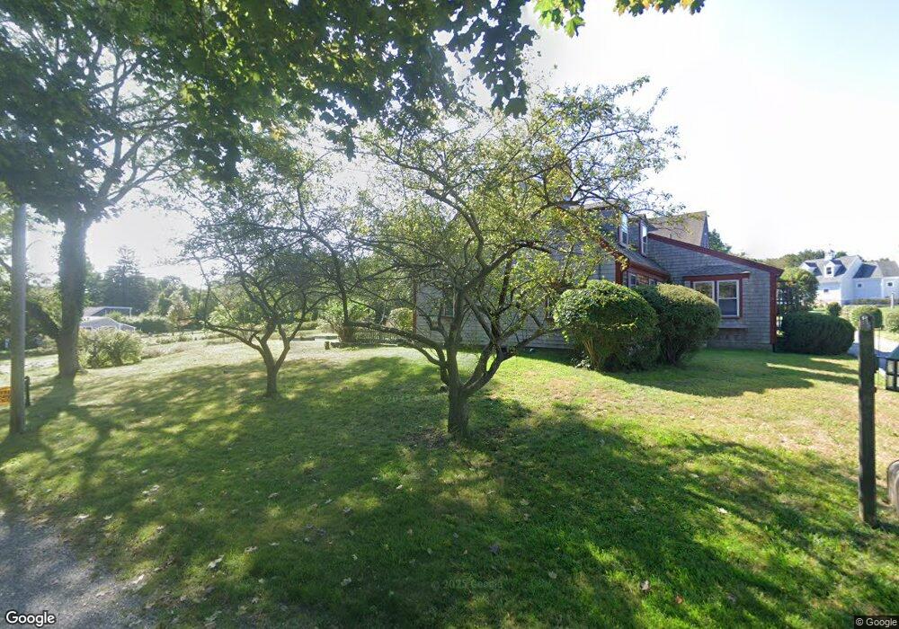
7A Elm Park Scituate, MA 02066
Estimated Value: $2,206,000 - $2,906,000
4
Beds
5
Baths
4,197
Sq Ft
$596/Sq Ft
Est. Value
About This Home
This home is located at 7A Elm Park, Scituate, MA 02066 and is currently estimated at $2,499,852, approximately $595 per square foot. 7A Elm Park is a home with nearby schools including Jenkins Elementary School, Lester J. Gates Middle School, and Scituate High School.
Ownership History
Date
Name
Owned For
Owner Type
Purchase Details
Closed on
Oct 16, 2019
Sold by
Reynolds Michael J and Reynolds Tara A
Bought by
Reynolds Michael J and Reynolds Tara A
Current Estimated Value
Purchase Details
Closed on
Dec 15, 1986
Bought by
Jensen Lund A and Jensen Barbara R
Create a Home Valuation Report for This Property
The Home Valuation Report is an in-depth analysis detailing your home's value as well as a comparison with similar homes in the area
Home Values in the Area
Average Home Value in this Area
Purchase History
| Date | Buyer | Sale Price | Title Company |
|---|---|---|---|
| Reynolds Michael J | -- | -- | |
| Jensen Lund A | $275,000 | -- |
Source: Public Records
Tax History Compared to Growth
Tax History
| Year | Tax Paid | Tax Assessment Tax Assessment Total Assessment is a certain percentage of the fair market value that is determined by local assessors to be the total taxable value of land and additions on the property. | Land | Improvement |
|---|---|---|---|---|
| 2025 | $24,959 | $2,498,400 | $552,900 | $1,945,500 |
| 2024 | $25,108 | $2,423,600 | $502,600 | $1,921,000 |
| 2023 | $23,591 | $2,119,600 | $458,800 | $1,660,800 |
| 2022 | $22,590 | $1,790,000 | $350,000 | $1,440,000 |
| 2021 | $21,496 | $1,612,600 | $333,400 | $1,279,200 |
| 2020 | $19,913 | $1,475,000 | $320,500 | $1,154,500 |
| 2019 | $13,501 | $982,600 | $260,800 | $721,800 |
| 2018 | $7,950 | $569,900 | $274,400 | $295,500 |
| 2017 | $3,590 | $254,800 | $254,800 | $0 |
| 2016 | $3,126 | $221,100 | $221,100 | $0 |
| 2015 | $2,769 | $211,400 | $211,400 | $0 |
Source: Public Records
Map
Nearby Homes
- 29 Ladds Way Unit 29
- 19 Ford Place Unit 3
- 19 Ford Place Unit 1
- 19 Ford Place Unit 4
- 12 Sassamon Rd
- 17 Old Oaken Bucket Rd
- 49 Cornet Stetson Rd
- 146 Chief Justice Cushing Hwy
- 9 Cushing Park Rd
- 67 Greenfield Ln
- 59 Greenfield Ln
- 48 Neal Gate St
- 16 Salt Meadow Ln
- 12 Meeting House Ln Unit 308
- 115 Elm St
- 111 Elm St
- 50 First Parish Rd
- 76 A Brook St
- 76 A Brook St Unit 1
- 2167 Main St
- 11 Atlantic Way Unit 11
- 31 Atlantic Way
- 31 Atlantic Way Unit 31
- 9 Atlantic Way Unit 9
- 346 Driftway Unit 214E
- 346 Driftway Unit 413
- 346 Driftway Unit 314E
- 340-348 Driftway
- 342 Driftway Unit 307B
- 342 Driftway Unit 306B
- 342 Driftway Unit 301D
- 342 Driftway Unit 103D
- 340 Driftway Unit 104C
- 344 Driftway Unit 101D
- 344 Driftway Unit 306B
- 344 Driftway Unit 104B
- 2 Ladd's Way Unit 2
- 15 Ladds Way
- 145 Driftway
- 261 Stockbridge Rd Unit 4