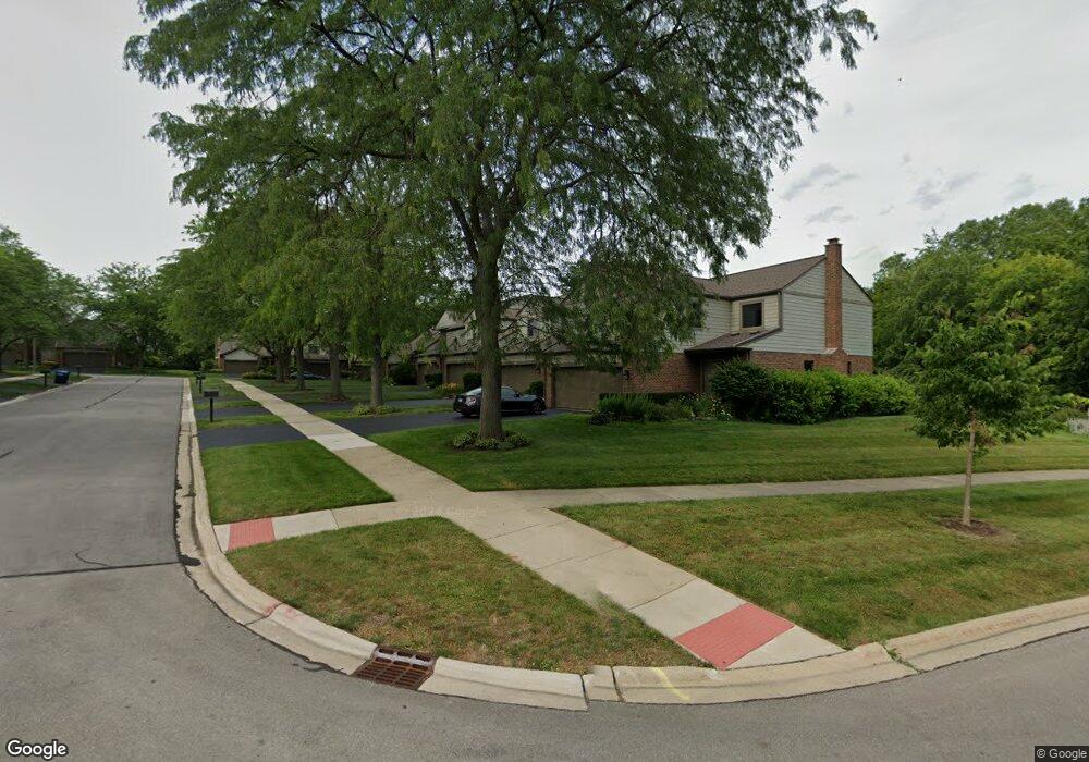
7S349 Baltusrol Ln Naperville, IL 60540
Seven Bridges NeighborhoodEstimated Value: $384,168 - $437,000
--
Bed
1
Bath
1,540
Sq Ft
$267/Sq Ft
Est. Value
About This Home
This home is located at 7S349 Baltusrol Ln, Naperville, IL 60540 and is currently estimated at $410,792, approximately $266 per square foot. 7S349 Baltusrol Ln is a home located in DuPage County with nearby schools including Ranch View Elementary School, Kennedy Junior High School, and Naperville North High School.
Ownership History
Date
Name
Owned For
Owner Type
Purchase Details
Closed on
Jun 30, 2004
Sold by
Keaton Catherine C
Bought by
Obrien Robert A and Obrien Brenda E
Current Estimated Value
Home Financials for this Owner
Home Financials are based on the most recent Mortgage that was taken out on this home.
Original Mortgage
$181,600
Outstanding Balance
$91,732
Interest Rate
6.39%
Mortgage Type
Construction
Estimated Equity
$319,060
Purchase Details
Closed on
Aug 17, 2001
Sold by
Sherman Frank W and Sherman Ellen J
Bought by
Keaton Catherine C
Home Financials for this Owner
Home Financials are based on the most recent Mortgage that was taken out on this home.
Original Mortgage
$152,000
Interest Rate
7.23%
Create a Home Valuation Report for This Property
The Home Valuation Report is an in-depth analysis detailing your home's value as well as a comparison with similar homes in the area
Home Values in the Area
Average Home Value in this Area
Purchase History
| Date | Buyer | Sale Price | Title Company |
|---|---|---|---|
| Obrien Robert A | $227,000 | First American Title | |
| Keaton Catherine C | $193,000 | -- |
Source: Public Records
Mortgage History
| Date | Status | Borrower | Loan Amount |
|---|---|---|---|
| Open | Obrien Robert A | $181,600 | |
| Previous Owner | Keaton Catherine C | $152,000 |
Source: Public Records
Tax History Compared to Growth
Tax History
| Year | Tax Paid | Tax Assessment Tax Assessment Total Assessment is a certain percentage of the fair market value that is determined by local assessors to be the total taxable value of land and additions on the property. | Land | Improvement |
|---|---|---|---|---|
| 2024 | $5,801 | $111,991 | $16,709 | $95,282 |
| 2023 | $6,025 | $102,210 | $15,250 | $86,960 |
| 2022 | $5,448 | $91,960 | $13,720 | $78,240 |
| 2021 | $5,216 | $88,480 | $13,200 | $75,280 |
| 2020 | $5,099 | $86,890 | $12,960 | $73,930 |
| 2019 | $4,936 | $83,130 | $12,400 | $70,730 |
| 2018 | $4,939 | $83,130 | $12,400 | $70,730 |
| 2017 | $4,843 | $80,320 | $11,980 | $68,340 |
| 2016 | $4,929 | $80,320 | $11,980 | $68,340 |
| 2015 | $4,877 | $75,640 | $11,280 | $64,360 |
| 2014 | $4,797 | $72,920 | $10,870 | $62,050 |
| 2013 | $4,729 | $73,100 | $10,900 | $62,200 |
Source: Public Records
Map
Nearby Homes
- 6524 Greene Rd
- 23W501 Green Trails Dr
- 6441 Bobby Jones Ln Unit 2
- 6420 Double Eagle Dr Unit 610
- 6420 Double Eagle Dr Unit 510
- 6420 Double Eagle Dr Unit E35
- 1856 Carriage Hill Rd
- 3550 Irving Place
- 3570 Sawgrass Dr
- 1935 Green Trails Dr
- 3573 Mulligan Dr
- Deer Valley Plan at Rivers Edge - Estates
- Woodside Plan at Rivers Edge - Estates
- Riverton Plan at Rivers Edge - Estates
- Castleton Plan at Rivers Edge - Estates
- Maple Valley Plan at Rivers Edge - Estates
- Willwood Plan at Rivers Edge - Estates
- Westchester Plan at Rivers Edge - Estates
- 6613 Carl Ct
- 1736 Brookwood Rd
- 7S351 Baltusrol Ln
- 7S347 Baltusrol Ln Unit 1
- 7S353 Baltusrol Ln
- 7S345 Baltusrol Ln
- 7S341 Pinehurst Ct
- 7S341 Pinehurst Ct Unit 1
- 7S360 Baltusrol Ln
- 7S352 Baltusrol Ln
- 7S356 Baltusrol Ln Unit 1
- 7S348 Baltusrol Ln
- 7S339 Pinehurst Ct
- 7S344 Baltusrol Ln
- 7S344 Baltusrol Ln Unit 7S344
- 7S344 Baltusrol Ln Unit 344
- 7S331 Pinehurst Ct
- 23W368 Pinehurst Ln
- 23W356 Pinehurst Ln
- 23W364 Pinehurst Ln
- 23W360 Pinehurst Ln
- 23W381 Green Trails Dr