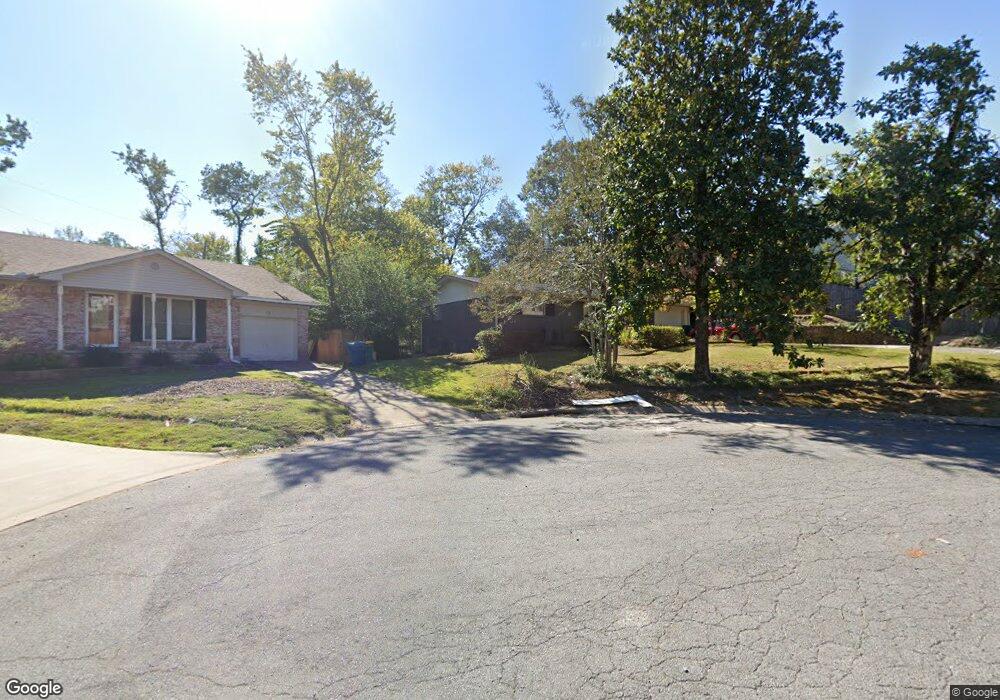
8 Abby Ln Little Rock, AR 72227
Foxcroft NeighborhoodEstimated Value: $164,000 - $209,000
--
Bed
1
Bath
1,082
Sq Ft
$174/Sq Ft
Est. Value
About This Home
This home is located at 8 Abby Ln, Little Rock, AR 72227 and is currently estimated at $188,405, approximately $174 per square foot. 8 Abby Ln is a home located in Pulaski County with nearby schools including Jefferson Elementary School, Pulaski Heights Middle School, and Central High School.
Ownership History
Date
Name
Owned For
Owner Type
Purchase Details
Closed on
Jul 28, 2003
Sold by
Thornton Sarah Ann and Duffel Sarah Ann
Bought by
Ford Markey
Current Estimated Value
Home Financials for this Owner
Home Financials are based on the most recent Mortgage that was taken out on this home.
Original Mortgage
$79,373
Outstanding Balance
$33,695
Interest Rate
5.24%
Mortgage Type
FHA
Estimated Equity
$154,710
Create a Home Valuation Report for This Property
The Home Valuation Report is an in-depth analysis detailing your home's value as well as a comparison with similar homes in the area
Home Values in the Area
Average Home Value in this Area
Purchase History
| Date | Buyer | Sale Price | Title Company |
|---|---|---|---|
| Ford Markey | $80,000 | Lenders Title Company |
Source: Public Records
Mortgage History
| Date | Status | Borrower | Loan Amount |
|---|---|---|---|
| Open | Ford Markey | $79,373 |
Source: Public Records
Tax History Compared to Growth
Tax History
| Year | Tax Paid | Tax Assessment Tax Assessment Total Assessment is a certain percentage of the fair market value that is determined by local assessors to be the total taxable value of land and additions on the property. | Land | Improvement |
|---|---|---|---|---|
| 2025 | $1,656 | $30,080 | $20,000 | $10,080 |
| 2024 | $1,656 | $30,080 | $20,000 | $10,080 |
| 2023 | $1,656 | $30,080 | $20,000 | $10,080 |
| 2022 | $1,656 | $30,080 | $20,000 | $10,080 |
| 2021 | $1,668 | $28,480 | $18,400 | $10,080 |
| 2020 | $1,281 | $28,480 | $18,400 | $10,080 |
| 2019 | $1,281 | $28,480 | $18,400 | $10,080 |
| 2018 | $1,306 | $28,480 | $18,400 | $10,080 |
| 2017 | $1,306 | $28,480 | $18,400 | $10,080 |
| 2016 | $1,227 | $22,530 | $5,800 | $16,730 |
| 2015 | $1,579 | $22,530 | $5,800 | $16,730 |
| 2014 | $1,579 | $21,072 | $5,800 | $15,272 |
Source: Public Records
Map
Nearby Homes
- 73 White Oak Ln
- 6 White Oak Cir
- 22 White Oak Cir
- 124 Indian Trail
- 2801 Foxcroft Rd
- 2805 Foxcroft Rd
- 108 Indian Trail
- 26 Foxcroft Village Dr
- 11 Delray Dr
- 109 Winnwood Rd
- 15 Indian Trail
- 122 Glen Dr
- 201 S Ridge Rd
- 2200 Andover Ct
- 7809 Iowa Dr
- 208 S Ridge Rd
- 8009 Iowa Dr
- 1812 N Mississippi St
- 7219 Richwood Rd
- 2916 Dalewood Rd