8 Abner Point Rd Bailey Island, ME 04003
Harpswell NeighborhoodEstimated Value: $890,000 - $1,356,000
3
Beds
3
Baths
1,923
Sq Ft
$554/Sq Ft
Est. Value
About This Home
This home is located at 8 Abner Point Rd, Bailey Island, ME 04003 and is currently estimated at $1,065,714, approximately $554 per square foot. 8 Abner Point Rd is a home with nearby schools including Mt Ararat High School.
Ownership History
Date
Name
Owned For
Owner Type
Purchase Details
Closed on
Apr 27, 2011
Sold by
Sherwood David F
Bought by
Johnson Timothy M and Groeber Jennifer E
Current Estimated Value
Home Financials for this Owner
Home Financials are based on the most recent Mortgage that was taken out on this home.
Original Mortgage
$376,400
Outstanding Balance
$260,130
Interest Rate
4.76%
Mortgage Type
Purchase Money Mortgage
Estimated Equity
$805,584
Create a Home Valuation Report for This Property
The Home Valuation Report is an in-depth analysis detailing your home's value as well as a comparison with similar homes in the area
Home Values in the Area
Average Home Value in this Area
Purchase History
| Date | Buyer | Sale Price | Title Company |
|---|---|---|---|
| Johnson Timothy M | -- | -- |
Source: Public Records
Mortgage History
| Date | Status | Borrower | Loan Amount |
|---|---|---|---|
| Open | Johnson Timothy M | $376,400 |
Source: Public Records
Tax History
| Year | Tax Paid | Tax Assessment Tax Assessment Total Assessment is a certain percentage of the fair market value that is determined by local assessors to be the total taxable value of land and additions on the property. | Land | Improvement |
|---|---|---|---|---|
| 2024 | $3,541 | $556,800 | $364,700 | $192,100 |
| 2023 | $3,396 | $556,800 | $364,700 | $192,100 |
| 2022 | $3,285 | $556,800 | $364,700 | $192,100 |
| 2021 | $3,221 | $476,500 | $344,100 | $132,400 |
| 2020 | $3,132 | $476,500 | $344,100 | $132,400 |
| 2019 | $7,909 | $473,300 | $344,100 | $129,200 |
| 2018 | $3,067 | $473,300 | $344,100 | $129,200 |
| 2017 | $3,206 | $473,300 | $344,100 | $129,200 |
| 2016 | $3,111 | $473,300 | $344,100 | $129,200 |
| 2015 | $2,937 | $470,700 | $344,100 | $126,600 |
| 2013 | $2,721 | $470,700 | $344,100 | $126,600 |
Source: Public Records
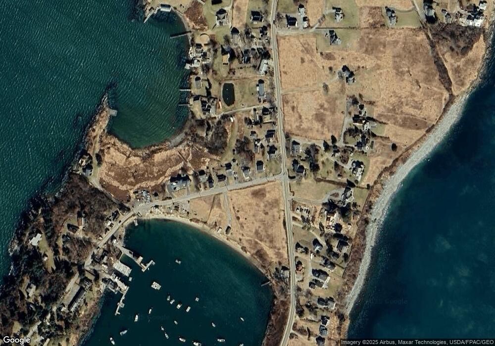
Map
Nearby Homes
- 87 Lowells Cove Rd
- 1450 Harpswell Neck Rd
- 1 Mallard Pond Rd
- 0 Bayview Rd Unit 2 1632776
- Lot 2B Allen Point Rd
- 21 Spring Hill Rd
- lot C Long Point Rd
- 471 South Rd Unit A
- 471 South Rd Unit B
- 30 Driftwood Tide Ln
- 83 Central Ave
- 58 Maquoit Dr
- 275 Littlejohn Rd
- 46 Blackstone Club Rd
- Map 80 Lot 18-0 White Island
- 41 Atlantic Ln
- 242 Long Reach Ln
- 5 Arrowhead Ridge Rd
- 539 Harbor de Grace
- 1682 &1676 Main Rd
- 4 & 6 Abner Point Rd
- 12 Abner Point Rd
- 6 Abner Point Rd
- 14 Abner Point Rd
- 0 Abner Point Unit 1342488
- 0 Abner Point Unit 1011842
- 00 Abner Point Rd
- 2170 Harpswell Islands Rd
- 16 Abner Point Rd
- 18 Abner Point Rd
- 2171 Harpswell Islands Rd
- 15 Linwood Ln
- 2160 Harpswell Islands Rd
- 26 Abner Point Rd
- 19 Linwood Ln
- 2156 Harpswell Islands Rd
- 2189 Harpswell Islands Rd
- 30 Abner Point Rd
- 25 Abner Point Rd
- 9 Mermaid Ln
Your Personal Tour Guide
Ask me questions while you tour the home.