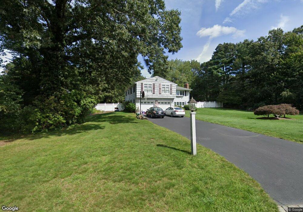
8 Appletree Ln Walpole, MA 02081
Estimated Value: $778,216 - $914,000
3
Beds
3
Baths
1,776
Sq Ft
$470/Sq Ft
Est. Value
About This Home
This home is located at 8 Appletree Ln, Walpole, MA 02081 and is currently estimated at $834,804, approximately $470 per square foot. 8 Appletree Ln is a home located in Norfolk County with nearby schools including Fisher School, Walpole Middle School, and Walpole High School.
Ownership History
Date
Name
Owned For
Owner Type
Purchase Details
Closed on
Mar 30, 1995
Sold by
Leary Mark F
Bought by
Skinner Darren J
Current Estimated Value
Home Financials for this Owner
Home Financials are based on the most recent Mortgage that was taken out on this home.
Original Mortgage
$115,000
Interest Rate
8.8%
Mortgage Type
Purchase Money Mortgage
Create a Home Valuation Report for This Property
The Home Valuation Report is an in-depth analysis detailing your home's value as well as a comparison with similar homes in the area
Home Values in the Area
Average Home Value in this Area
Purchase History
| Date | Buyer | Sale Price | Title Company |
|---|---|---|---|
| Skinner Darren J | $215,000 | -- |
Source: Public Records
Mortgage History
| Date | Status | Borrower | Loan Amount |
|---|---|---|---|
| Open | Skinner Darren J | $99,000 | |
| Closed | Skinner Darren J | $115,000 | |
| Previous Owner | Skinner Darren J | $128,000 |
Source: Public Records
Tax History
| Year | Tax Paid | Tax Assessment Tax Assessment Total Assessment is a certain percentage of the fair market value that is determined by local assessors to be the total taxable value of land and additions on the property. | Land | Improvement |
|---|---|---|---|---|
| 2025 | $9,076 | $707,400 | $357,300 | $350,100 |
| 2024 | $8,871 | $671,000 | $343,700 | $327,300 |
| 2023 | $8,416 | $605,900 | $298,900 | $307,000 |
| 2022 | $7,778 | $537,900 | $276,500 | $261,400 |
| 2021 | $7,482 | $504,200 | $260,700 | $243,500 |
| 2020 | $7,329 | $488,900 | $246,200 | $242,700 |
| 2019 | $7,121 | $471,600 | $237,600 | $234,000 |
| 2018 | $6,846 | $448,300 | $226,600 | $221,700 |
| 2017 | $6,623 | $432,000 | $218,100 | $213,900 |
| 2016 | $6,478 | $416,300 | $212,100 | $204,200 |
| 2015 | $6,310 | $401,900 | $203,500 | $198,400 |
| 2014 | $5,992 | $380,200 | $203,500 | $176,700 |
Source: Public Records
Map
Nearby Homes
- 10 Appletree Ln
- 6 Appletree Ln
- 12 Appletree Ln
- 4 Appletree Ln
- 5 Appletree Ln
- 9 Appletree Ln
- 7 Appletree Ln
- SIX Lois Dr
- LOT#41 17 Riverwalk Ln Unit 39
- L-22 Bach Ct
- L-21 Bach Ct
- ***** Lot 7 Washington St
- ***** Lot 3 Washington St
- ***** Lot 5 Washington St
- LOT 2 Sigmund Way
- 3 Appletree Ln
- 11 Appletree Ln
- 60 County St
- 2 Appletree Ln
- 6 Crosswoods Path
Your Personal Tour Guide
Ask me questions while you tour the home.