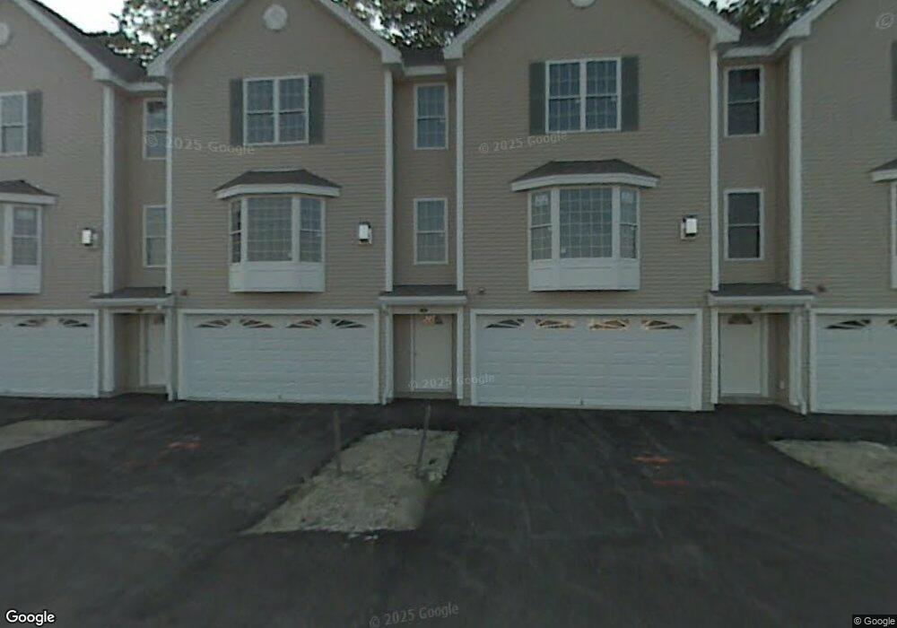
8 Aster Ct Hudson, NH 03051
Estimated Value: $512,000 - $536,000
2
Beds
3
Baths
1,911
Sq Ft
$273/Sq Ft
Est. Value
About This Home
This home is located at 8 Aster Ct, Hudson, NH 03051 and is currently estimated at $522,649, approximately $273 per square foot. 8 Aster Ct is a home located in Hillsborough County with nearby schools including Nottingham West Elementary School, Hudson Memorial School, and Alvirne High School.
Ownership History
Date
Name
Owned For
Owner Type
Purchase Details
Closed on
Aug 5, 2016
Sold by
Gondi Mahesh B
Bought by
Kudikala Srujan S and Alankar Shilpa
Current Estimated Value
Home Financials for this Owner
Home Financials are based on the most recent Mortgage that was taken out on this home.
Original Mortgage
$228,225
Outstanding Balance
$180,593
Interest Rate
3.56%
Mortgage Type
Purchase Money Mortgage
Estimated Equity
$342,056
Purchase Details
Closed on
Jun 9, 2008
Sold by
Dufault Daniel
Bought by
Gondi Mahesh B
Create a Home Valuation Report for This Property
The Home Valuation Report is an in-depth analysis detailing your home's value as well as a comparison with similar homes in the area
Home Values in the Area
Average Home Value in this Area
Purchase History
| Date | Buyer | Sale Price | Title Company |
|---|---|---|---|
| Kudikala Srujan S | $268,533 | -- | |
| Kudikala Srujan S | $268,533 | -- | |
| Gondi Mahesh B | $280,000 | -- | |
| Gondi Mahesh B | $280,000 | -- |
Source: Public Records
Mortgage History
| Date | Status | Borrower | Loan Amount |
|---|---|---|---|
| Open | Kudikala Srujan S | $228,225 | |
| Previous Owner | Gondi Mahesh B | $279,094 | |
| Previous Owner | Gondi Mahesh B | $279,809 |
Source: Public Records
Tax History
| Year | Tax Paid | Tax Assessment Tax Assessment Total Assessment is a certain percentage of the fair market value that is determined by local assessors to be the total taxable value of land and additions on the property. | Land | Improvement |
|---|---|---|---|---|
| 2025 | $6,519 | $381,000 | $0 | $381,000 |
| 2024 | $6,267 | $381,000 | $0 | $381,000 |
| 2023 | $5,974 | $381,000 | $0 | $381,000 |
| 2022 | $5,528 | $376,300 | $0 | $376,300 |
| 2021 | $5,396 | $249,000 | $0 | $249,000 |
| 2020 | $5,321 | $249,000 | $0 | $249,000 |
| 2019 | $5,050 | $249,000 | $0 | $249,000 |
| 2018 | $5,005 | $249,000 | $0 | $249,000 |
| 2017 | $4,910 | $249,000 | $0 | $249,000 |
| 2016 | $4,917 | $223,800 | $0 | $223,800 |
| 2015 | $4,756 | $223,800 | $0 | $223,800 |
| 2014 | $4,662 | $223,800 | $0 | $223,800 |
| 2013 | $4,601 | $223,800 | $0 | $223,800 |
Source: Public Records
Map
Nearby Homes
- 25 Shadowbrook Dr Unit B
- 11 Canterberry Ct Unit A
- 6 Tammy Ct Unit B
- 53 Kimball Hill Rd
- 331 Fox Run Rd
- 6 Bear Path Ln
- 10 Roy Dr
- 7 Leaor Cir
- 120B Barretts Hill Rd
- 169 Central St
- 42 Barretts Hill Rd Unit A
- 119 Belknap Rd
- 18 Windsor Ln Unit 70
- 24 Windsor Ln Unit 10
- 21 Windsor Ln Unit A
- 21 Windsor Ln Unit B
- 31A Windsor Ln Unit 4
- 7 Nevens St
- 73 Ferry St
- 30 B St Unit 9
- 8 Intervale Ct Unit B
- 9 Allard Ct Unit 9 A
- 7A Charity Ct Unit A
- 8 Farnum Ct
- 2 Chandler Ct Unit A
- 5 Charity Ct Unit A
- 6 Tammy Ct Unit 181
- 12 Canterberry Ct
- 13 Canterberry Ct Unit A
- 20 Intervale Ct
- 3 Intervale Ct
- 8 Intervale Ct
- 20 Intervale Ct Unit 20B
- 39 Shadowbrook Dr Unit 39B
- 74 Shadowbrook Dr Unit A
- 12 April Ct Unit B
- 11 Intervale Ct Unit A
- 4 Farnum Ct Unit B
- 3 Intervale Ct Unit A
- 1 Allard Ct Unit B
Your Personal Tour Guide
Ask me questions while you tour the home.