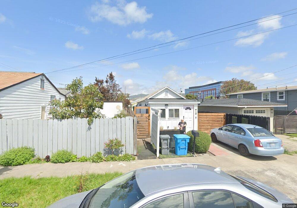
8 Atlantic Ave San Bruno, CA 94066
San Bruno Park NeighborhoodEstimated Value: $627,000 - $930,000
1
Bed
1
Bath
870
Sq Ft
$876/Sq Ft
Est. Value
About This Home
This home is located at 8 Atlantic Ave, San Bruno, CA 94066 and is currently estimated at $761,721, approximately $875 per square foot. 8 Atlantic Ave is a home located in San Mateo County with nearby schools including Belle Air Elementary School, Parkside Intermediate School, and Capuchino High School.
Ownership History
Date
Name
Owned For
Owner Type
Purchase Details
Closed on
Apr 2, 2009
Sold by
Vogt Gladys B
Bought by
Mizzi Krystal A
Current Estimated Value
Home Financials for this Owner
Home Financials are based on the most recent Mortgage that was taken out on this home.
Original Mortgage
$60,000
Outstanding Balance
$38,194
Interest Rate
4.99%
Mortgage Type
Unknown
Estimated Equity
$723,527
Purchase Details
Closed on
Jul 8, 2003
Sold by
Vogt Gladys B
Bought by
Vogt Joe R and Miller Norma J
Create a Home Valuation Report for This Property
The Home Valuation Report is an in-depth analysis detailing your home's value as well as a comparison with similar homes in the area
Home Values in the Area
Average Home Value in this Area
Purchase History
| Date | Buyer | Sale Price | Title Company |
|---|---|---|---|
| Mizzi Krystal A | $200,000 | Fidelity National Title Co | |
| Vogt Joe R | -- | -- |
Source: Public Records
Mortgage History
| Date | Status | Borrower | Loan Amount |
|---|---|---|---|
| Open | Mizzi Krystal A | $60,000 | |
| Open | Mizzi Krystal A | $105,000 |
Source: Public Records
Tax History
| Year | Tax Paid | Tax Assessment Tax Assessment Total Assessment is a certain percentage of the fair market value that is determined by local assessors to be the total taxable value of land and additions on the property. | Land | Improvement |
|---|---|---|---|---|
| 2025 | $4,196 | $341,578 | $128,767 | $212,811 |
| 2023 | $4,196 | $328,318 | $123,768 | $204,550 |
| 2022 | $3,550 | $321,883 | $121,342 | $200,541 |
| 2021 | $3,504 | $315,573 | $118,963 | $196,610 |
| 2020 | $3,477 | $312,339 | $117,744 | $194,595 |
| 2019 | $3,420 | $306,217 | $115,436 | $190,781 |
| 2018 | $3,251 | $300,214 | $113,173 | $187,041 |
| 2017 | $3,215 | $294,328 | $110,954 | $183,374 |
| 2016 | $3,142 | $288,558 | $108,779 | $179,779 |
| 2015 | $3,035 | $278,292 | $107,146 | $171,146 |
| 2014 | $2,531 | $231,096 | $105,048 | $126,048 |
Source: Public Records
Map
Nearby Homes
- 65 Bayshore Cir
- 1015 Herman St
- 998 Hensley Ave
- 207 Rockwood Dr
- 596 Walnut St
- 877 6th Ave
- 105 Francisco Dr
- 741 5th Ave
- 812 7th Ave
- 47 Greenwood Dr
- 137 Piccadilly Place Unit A
- 139 Piccadilly Place Unit H
- 601 Linden Ave
- 455 El Camino Real Unit 307
- 608 7th Ave
- 525 Huntington Ave
- 408 Boardwalk Ave Unit 1
- 462 Milton Ave
- 322 Commercial Ave
- 1449 Williams Ave
- 10 Atlantic Ave
- 12 Atlantic Ave
- 4 Atlantic Ave
- 1208 Huntington Ave E
- 14 Atantic St
- 14 Atlantic Ave
- 1218 Huntington Ave E
- 9 Pacific Ave
- 15 Pacific Ave
- 5 Atlantic Ave
- 17 Pacific Ave
- 20 Atlantic Ave
- 1 Pacific Ave
- 19 Pacific Ave
- 17 Atlantic Ave
- 10 Bayshore Cir
- 24 Atlantic Ave
- 23 Pacific Ave
- 14 Bayshore Cir
- 25 Atlantic Ave
Your Personal Tour Guide
Ask me questions while you tour the home.