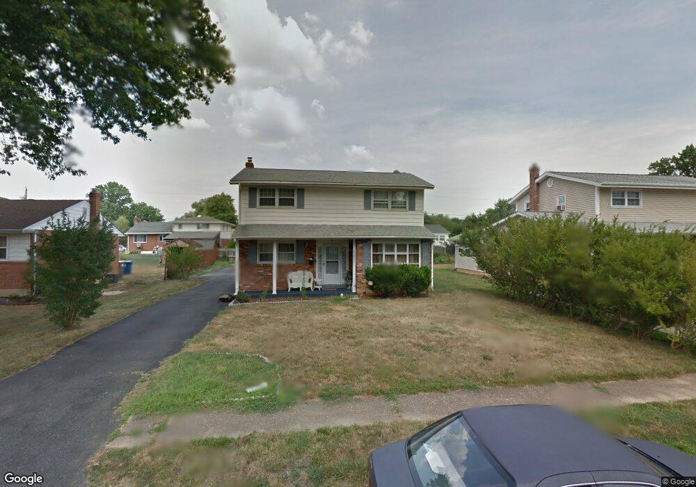
8 Azalea Rd Newark, DE 19711
Christiana NeighborhoodEstimated Value: $347,000 - $375,111
4
Beds
3
Baths
1,600
Sq Ft
$226/Sq Ft
Est. Value
About This Home
This home is located at 8 Azalea Rd, Newark, DE 19711 and is currently estimated at $362,028, approximately $226 per square foot. 8 Azalea Rd is a home located in New Castle County with nearby schools including Heritage Elementary School, Dickinson (John) High School, and Skyline Middle School.
Ownership History
Date
Name
Owned For
Owner Type
Purchase Details
Closed on
Jun 30, 2005
Sold by
Burns Thomas J
Bought by
Sadiq Masood and Masood Shagufta
Current Estimated Value
Home Financials for this Owner
Home Financials are based on the most recent Mortgage that was taken out on this home.
Original Mortgage
$189,520
Outstanding Balance
$101,854
Interest Rate
6.12%
Mortgage Type
Fannie Mae Freddie Mac
Estimated Equity
$260,174
Purchase Details
Closed on
Jul 24, 2003
Sold by
Williams Robert F and Bass Robert
Bought by
Burns Thomas J
Home Financials for this Owner
Home Financials are based on the most recent Mortgage that was taken out on this home.
Original Mortgage
$153,200
Interest Rate
5.28%
Mortgage Type
Purchase Money Mortgage
Create a Home Valuation Report for This Property
The Home Valuation Report is an in-depth analysis detailing your home's value as well as a comparison with similar homes in the area
Home Values in the Area
Average Home Value in this Area
Purchase History
| Date | Buyer | Sale Price | Title Company |
|---|---|---|---|
| Sadiq Masood | $236,900 | -- | |
| Burns Thomas J | $191,500 | -- |
Source: Public Records
Mortgage History
| Date | Status | Borrower | Loan Amount |
|---|---|---|---|
| Open | Sadiq Masood | $189,520 | |
| Previous Owner | Burns Thomas J | $153,200 |
Source: Public Records
Tax History Compared to Growth
Tax History
| Year | Tax Paid | Tax Assessment Tax Assessment Total Assessment is a certain percentage of the fair market value that is determined by local assessors to be the total taxable value of land and additions on the property. | Land | Improvement |
|---|---|---|---|---|
| 2024 | $2,202 | $59,600 | $11,100 | $48,500 |
| 2023 | $1,943 | $59,600 | $11,100 | $48,500 |
| 2022 | $1,966 | $59,600 | $11,100 | $48,500 |
| 2021 | $1,966 | $59,600 | $11,100 | $48,500 |
| 2020 | $1,972 | $59,600 | $11,100 | $48,500 |
| 2019 | $2,200 | $59,600 | $11,100 | $48,500 |
| 2018 | $1,930 | $59,600 | $11,100 | $48,500 |
| 2017 | $1,906 | $59,600 | $11,100 | $48,500 |
| 2016 | $1,821 | $59,600 | $11,100 | $48,500 |
| 2015 | $1,706 | $59,600 | $11,100 | $48,500 |
| 2014 | $1,579 | $59,600 | $11,100 | $48,500 |
Source: Public Records
Map
Nearby Homes
- 134 Meadowood Dr
- 906 8th St
- 24 Marta Dr
- 10 Alcott Dr
- 59 Valley Cir
- 2107 Othoson Ave
- 337 Nicholas Ct
- 2624 Heritage Farm Dr
- 27 Lee Dr Unit 621
- 207 Creekside Dr Unit 167
- 75 Kathy Ln Unit 656
- 74 Kathy Ln Unit A661
- 2702 Barnsley Rd
- 2623 E Riding Dr
- 108 Gale Dr
- 54 Kathy Ln Unit 671
- 2307 Creekside Dr Unit 47
- 2304 Milltown Rd
- 508 Michelle Ct
- 1024 11th Ave