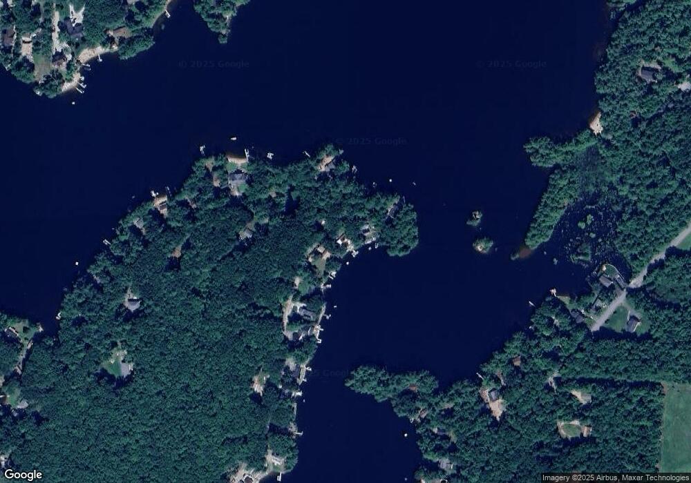
8 Beauvais Point Rd Rindge, NH 03461
Estimated Value: $461,000 - $742,258
1
Bed
2
Baths
1,549
Sq Ft
$409/Sq Ft
Est. Value
About This Home
This home is located at 8 Beauvais Point Rd, Rindge, NH 03461 and is currently estimated at $633,065, approximately $408 per square foot. 8 Beauvais Point Rd is a home located in Cheshire County with nearby schools including Rindge Memorial School, Conant Middle High School, and Conant High School.
Ownership History
Date
Name
Owned For
Owner Type
Purchase Details
Closed on
Dec 2, 2022
Sold by
R Frederie Ashenden Ret and Ashenden
Bought by
Ashenden Candice M
Current Estimated Value
Purchase Details
Closed on
Sep 22, 2021
Sold by
Mccusker Robert J
Bought by
R Frederic Ashenden Ret and Ashenden
Purchase Details
Closed on
Nov 30, 2016
Sold by
Mccusker Kevin F
Bought by
Mccusker Robert J
Home Financials for this Owner
Home Financials are based on the most recent Mortgage that was taken out on this home.
Original Mortgage
$224,000
Interest Rate
3.5%
Mortgage Type
New Conventional
Purchase Details
Closed on
Jul 25, 2013
Sold by
Dufault Corinne A
Bought by
Mccusker Kevin F
Create a Home Valuation Report for This Property
The Home Valuation Report is an in-depth analysis detailing your home's value as well as a comparison with similar homes in the area
Home Values in the Area
Average Home Value in this Area
Purchase History
| Date | Buyer | Sale Price | Title Company |
|---|---|---|---|
| Ashenden Candice M | -- | None Available | |
| Ashenden Candice M | -- | None Available | |
| R Frederic Ashenden Ret | $569,000 | None Available | |
| R Frederic Ashenden Ret | $569,000 | None Available | |
| Mccusker Robert J | $280,000 | -- | |
| Mccusker Robert J | $280,000 | -- | |
| Mccusker Kevin F | $350,000 | -- | |
| Mccusker Kevin F | $350,000 | -- |
Source: Public Records
Mortgage History
| Date | Status | Borrower | Loan Amount |
|---|---|---|---|
| Previous Owner | Mccusker Robert J | $224,000 | |
| Closed | Mccusker Kevin F | $0 |
Source: Public Records
Tax History Compared to Growth
Tax History
| Year | Tax Paid | Tax Assessment Tax Assessment Total Assessment is a certain percentage of the fair market value that is determined by local assessors to be the total taxable value of land and additions on the property. | Land | Improvement |
|---|---|---|---|---|
| 2024 | $9,570 | $378,100 | $245,000 | $133,100 |
| 2023 | $9,468 | $378,100 | $245,000 | $133,100 |
| 2022 | $8,466 | $367,600 | $245,000 | $122,600 |
| 2021 | $8,326 | $367,600 | $245,000 | $122,600 |
| 2020 | $2,748 | $367,600 | $245,000 | $122,600 |
| 2019 | $7,198 | $259,300 | $173,800 | $85,500 |
| 2018 | $7,131 | $259,300 | $173,800 | $85,500 |
| 2017 | $7,050 | $259,300 | $173,800 | $85,500 |
| 2016 | $7,237 | $259,300 | $173,800 | $85,500 |
| 2015 | $7,232 | $259,300 | $173,800 | $85,500 |
| 2014 | $8,077 | $310,300 | $224,200 | $86,100 |
| 2013 | $7,839 | $307,900 | $224,200 | $83,700 |
Source: Public Records
Map
Nearby Homes
- 16 2nd St
- 35 Hillside Dr
- 19 Monomonac Terrace
- 28 Wellington Rd
- 0 Monomonac Rd W
- 40 Maple Dr
- 46 Swan Point Rd
- 0 Glenallen St
- 119 W Shore Dr
- 64 Old Ashburnham Rd
- 15 Colonial Ln
- 11 Colonial Ln
- 199 Tuckerman Rd
- Lot 1 Saybrook Dr
- Lot 2 Saybrook Dr
- Lot 15-0 Saybrook Dr
- Lot 14 Saybrook Dr
- 41 Peggi Ln
- 17 W Shore Dr
- 0 Vaine St