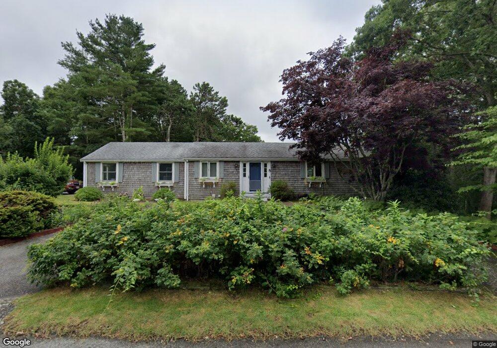
8 Bennets Neck Dr Pocasset, MA 02559
Pocasset NeighborhoodEstimated Value: $514,000 - $764,000
5
Beds
2
Baths
1,205
Sq Ft
$562/Sq Ft
Est. Value
About This Home
This home is located at 8 Bennets Neck Dr, Pocasset, MA 02559 and is currently estimated at $677,584, approximately $562 per square foot. 8 Bennets Neck Dr is a home located in Barnstable County with nearby schools including Bourne High School, Cadence Academy Preschool - Bourne, and St Margaret Regional School.
Ownership History
Date
Name
Owned For
Owner Type
Purchase Details
Closed on
Apr 29, 2016
Sold by
Stannard Alison B and Stannard Robert
Bought by
Alison Beth Stannard R and Alison Stannard
Current Estimated Value
Purchase Details
Closed on
Feb 3, 2015
Sold by
Vickery Martha L
Bought by
Stannard Alison B
Purchase Details
Closed on
Jul 18, 2014
Sold by
Vickery Roger A
Bought by
Stannard Robert and Stannard Alison B
Create a Home Valuation Report for This Property
The Home Valuation Report is an in-depth analysis detailing your home's value as well as a comparison with similar homes in the area
Home Values in the Area
Average Home Value in this Area
Purchase History
| Date | Buyer | Sale Price | Title Company |
|---|---|---|---|
| Alison Beth Stannard R | -- | -- | |
| Robert John Stannard R | -- | -- | |
| Stannard Alison B | $73,250 | -- | |
| Stannard Robert | $72,500 | -- | |
| Stannard Robert | $72,500 | -- | |
| Stannard Alison B | -- | -- |
Source: Public Records
Tax History Compared to Growth
Tax History
| Year | Tax Paid | Tax Assessment Tax Assessment Total Assessment is a certain percentage of the fair market value that is determined by local assessors to be the total taxable value of land and additions on the property. | Land | Improvement |
|---|---|---|---|---|
| 2025 | $5,137 | $657,800 | $383,600 | $274,200 |
| 2024 | $5,024 | $626,400 | $365,300 | $261,100 |
| 2023 | $4,646 | $527,300 | $296,300 | $231,000 |
| 2022 | $4,496 | $445,600 | $262,200 | $183,400 |
| 2021 | $4,368 | $405,600 | $238,700 | $166,900 |
| 2020 | $4,244 | $395,200 | $236,400 | $158,800 |
| 2019 | $4,060 | $386,300 | $236,400 | $149,900 |
| 2018 | $3,799 | $360,400 | $225,200 | $135,200 |
| 2017 | $3,676 | $356,900 | $223,000 | $133,900 |
| 2016 | $3,304 | $325,200 | $196,000 | $129,200 |
| 2015 | $3,275 | $325,200 | $196,000 | $129,200 |
Source: Public Records
Map
Nearby Homes
- 6 Bennets Neck Dr
- 4 Paulinda Rd
- 12 Bennets Neck Dr
- 7 Bennets Neck Dr
- 9 Bennets Neck Dr
- 4 Bennets Neck Dr
- 11 Bennets Neck Dr
- 7 Paulinda Rd
- 5 Bennets Neck Dr
- 14 Bennets Neck Dr
- 6 Paulinda Rd
- 15 Bennets Neck Dr
- 68 Bennets Neck Dr
- 3 Peninsula Cir
- 3 Bennets Neck Dr
- 3 Enterprise Rd
- 0 Peninsula Cir
- 2 Bennets Neck Dr
- 7 Bennets Neck
- 8 Paulinda Rd