8 Blueberry Hill Rd Westhampton, MA 01027
Estimated Value: $459,000 - $752,065
3
Beds
3
Baths
2,010
Sq Ft
$296/Sq Ft
Est. Value
About This Home
This home is located at 8 Blueberry Hill Rd, Westhampton, MA 01027 and is currently estimated at $595,516, approximately $296 per square foot. 8 Blueberry Hill Rd is a home located in Hampshire County with nearby schools including Hampshire Regional High School.
Ownership History
Date
Name
Owned For
Owner Type
Purchase Details
Closed on
Oct 25, 2022
Sold by
Mccarthy Maura L
Bought by
Conner Charles T and Mccarthy Maura L
Current Estimated Value
Home Financials for this Owner
Home Financials are based on the most recent Mortgage that was taken out on this home.
Original Mortgage
$500,000
Outstanding Balance
$475,157
Interest Rate
4.25%
Mortgage Type
Adjustable Rate Mortgage/ARM
Estimated Equity
$120,359
Create a Home Valuation Report for This Property
The Home Valuation Report is an in-depth analysis detailing your home's value as well as a comparison with similar homes in the area
Home Values in the Area
Average Home Value in this Area
Purchase History
| Date | Buyer | Sale Price | Title Company |
|---|---|---|---|
| Conner Charles T | -- | None Available | |
| Conner Charles T | -- | None Available |
Source: Public Records
Mortgage History
| Date | Status | Borrower | Loan Amount |
|---|---|---|---|
| Open | Conner Charles T | $500,000 | |
| Closed | Conner Charles T | $500,000 |
Source: Public Records
Tax History
| Year | Tax Paid | Tax Assessment Tax Assessment Total Assessment is a certain percentage of the fair market value that is determined by local assessors to be the total taxable value of land and additions on the property. | Land | Improvement |
|---|---|---|---|---|
| 2025 | $11,956 | $575,100 | $119,000 | $456,100 |
| 2024 | $11,899 | $575,100 | $119,000 | $456,100 |
| 2023 | $2,395 | $119,000 | $119,000 | $0 |
| 2022 | $2,438 | $119,000 | $119,000 | $0 |
| 2021 | $2,295 | $111,200 | $111,200 | $0 |
| 2020 | $2,067 | $101,700 | $101,700 | $0 |
| 2019 | $2,063 | $101,700 | $101,700 | $0 |
| 2018 | $1,976 | $101,700 | $101,700 | $0 |
| 2017 | $1,964 | $101,700 | $101,700 | $0 |
| 2016 | $1,922 | $101,700 | $101,700 | $0 |
| 2015 | $1,856 | $101,700 | $101,700 | $0 |
Source: Public Records
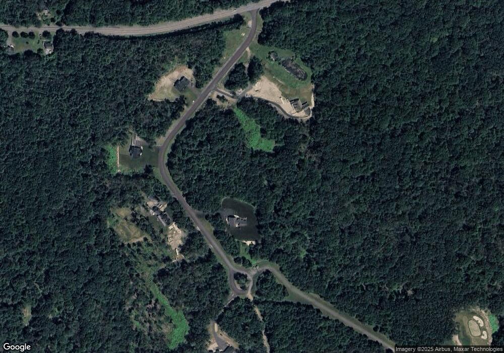
Map
Nearby Homes
- 6 Blueberry Ln
- 5 Blueberry Hill Rd
- 312 Fomer Rd
- 16 Knightville Dam Rd
- 0 Kimball Rd
- 87 Southampton Rd
- Lot 2 Jourdan Rd
- Lot 9 Jourdan Rd
- 16 Goss Hill Rd
- 0 Goss Hill Rd Unit 73369147
- 0 Lots 2 & 3 Goss Hill Rd Unit 73451402
- LOT 3 Brickyard Rd
- 7 Quigley Rd
- 46 Bromley Rd
- 75 Lead Mine Rd
- 7 Stanton Ave
- 25 Basket St
- 13 Basket St
- 1260 Westhampton Rd
- 296 Northwest Rd
- 8 Blueberry Hill Rd
- Lot 4 Blueberry Ln
- Lot 6 Blueberry Ln
- Lot 5 Blueberry Ln
- Lot 9 Blueberry Ln
- Lot 8 Blueberry Ln
- 9 Blueberry Hill Rd
- 9 Blueberry Hill Rd
- 161 Pond Brook Rd
- 159 Pond Brook Rd
- 162 Pond Brook Rd
- 461 Main Rd
- 2 Blueberry Hill Rd
- 156 Pond Brook Rd
- 447 Main Rd
- 154 Pond Brook Rd
- 147 Pond Brook Rd
- 6 Hill Ave
- 6 Hill Ave Unit 2
- 423 Main Rd
Your Personal Tour Guide
Ask me questions while you tour the home.