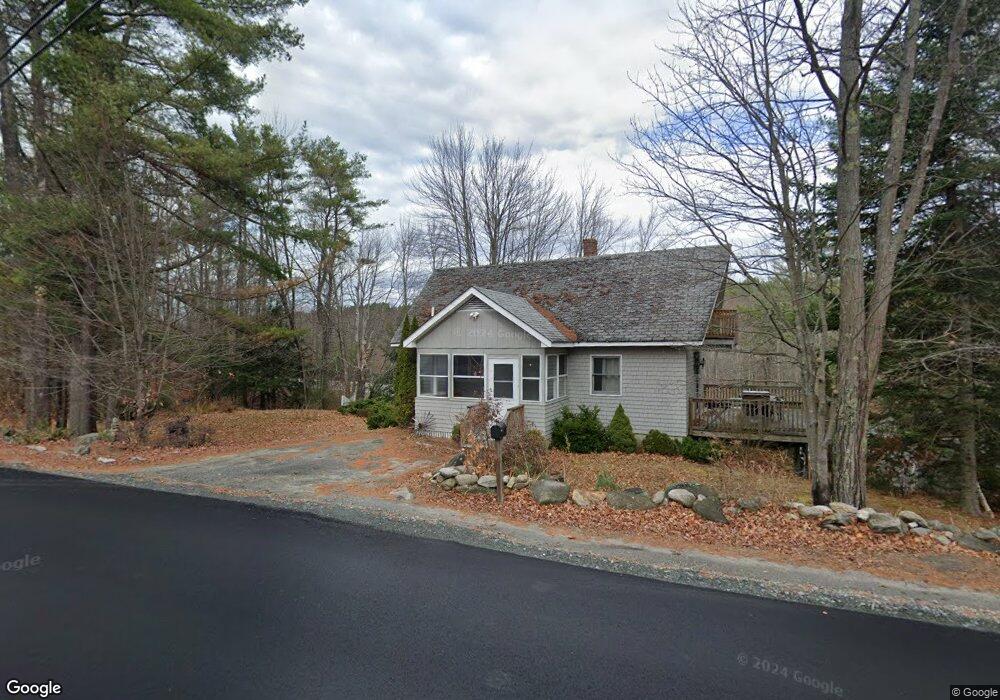
8 Bradford Rd Sunapee, NH 03782
Estimated Value: $367,000 - $487,000
3
Beds
2
Baths
1,520
Sq Ft
$272/Sq Ft
Est. Value
About This Home
This home is located at 8 Bradford Rd, Sunapee, NH 03782 and is currently estimated at $413,910, approximately $272 per square foot. 8 Bradford Rd is a home located in Sullivan County with nearby schools including Sunapee Central School, Sunapee Middle High School, and Sunapee Senior High School.
Ownership History
Date
Name
Owned For
Owner Type
Purchase Details
Closed on
Nov 6, 2020
Sold by
Hall E Curtis E and Hall Helenmarie
Bought by
Sherwin Bridget M
Current Estimated Value
Home Financials for this Owner
Home Financials are based on the most recent Mortgage that was taken out on this home.
Original Mortgage
$218,500
Outstanding Balance
$193,022
Interest Rate
2.9%
Mortgage Type
New Conventional
Estimated Equity
$220,888
Create a Home Valuation Report for This Property
The Home Valuation Report is an in-depth analysis detailing your home's value as well as a comparison with similar homes in the area
Home Values in the Area
Average Home Value in this Area
Purchase History
| Date | Buyer | Sale Price | Title Company |
|---|---|---|---|
| Sherwin Bridget M | $230,000 | None Available |
Source: Public Records
Mortgage History
| Date | Status | Borrower | Loan Amount |
|---|---|---|---|
| Open | Sherwin Bridget M | $218,500 |
Source: Public Records
Tax History
| Year | Tax Paid | Tax Assessment Tax Assessment Total Assessment is a certain percentage of the fair market value that is determined by local assessors to be the total taxable value of land and additions on the property. | Land | Improvement |
|---|---|---|---|---|
| 2024 | $1,649 | $164,700 | $43,600 | $121,100 |
| 2023 | $2,679 | $276,800 | $118,800 | $158,000 |
| 2022 | $2,304 | $164,700 | $43,600 | $121,100 |
| 2021 | $2,245 | $164,700 | $43,600 | $121,100 |
| 2020 | $2,279 | $164,700 | $43,600 | $121,100 |
| 2019 | $2,434 | $152,800 | $44,600 | $108,200 |
| 2018 | $2,379 | $152,800 | $44,600 | $108,200 |
| 2017 | $2,349 | $152,800 | $44,600 | $108,200 |
| 2016 | $2,282 | $151,800 | $44,600 | $107,200 |
| 2015 | $2,484 | $165,500 | $40,200 | $125,300 |
| 2014 | $2,512 | $165,500 | $40,200 | $125,300 |
| 2013 | $2,420 | $165,500 | $40,200 | $125,300 |
Source: Public Records
Map
Nearby Homes
- 552 Route 103
- Lot 3 Nutting Rd
- 14 Sugarhouse Ln
- 16 Sunnyside Terrace
- 6 Samoset Rd
- 30 Greystone Ln
- 1387 Route 103
- Lot 22 Rand Pond Rd
- 33 Chandler Brook Rd
- 1B N Peak Village
- 295 E Mountain Rd
- 55 High St
- 31 High St
- 0 Harbor Hill Rd Unit 20
- 81 Lakewood Manor Rd
- 18 Central St
- 310 Bradford Rd
- 25 Birch Point Ln
- 150 S Main St
- 130 Sunapee St
- 0 Timmothy Rd Unit 4331086
- 0 Timmothy Rd Unit 4516951
- 0 Timmothy Rd Unit 4220838
- 0 Timmothy Rd Unit 2715669
- 6 Timmothy Rd
- 19 Jeffery Dr
- 12 Timmothy Rd
- 16 Bradford Rd
- 3 Timmothy Rd
- 3 Timmothy Rd
- 17 Bradford Rd Unit 19
- 24 Timmothy Rd
- 24 Timmothy Rd
- 24 Timmothy Rd
- 28 Bradford Rd
- 0 New Hampshire Route 103 Unit B 4850889
- 13 New Hampshire Route 103
- 440 Route 103
- 38 Bradford Rd
- 00 Timothy Rd
Your Personal Tour Guide
Ask me questions while you tour the home.