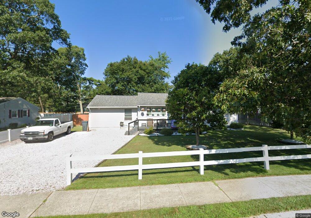
8 Brand Rd Toms River, NJ 08753
Estimated Value: $380,729 - $468,000
4
Beds
1
Bath
1,428
Sq Ft
$307/Sq Ft
Est. Value
About This Home
This home is located at 8 Brand Rd, Toms River, NJ 08753 and is currently estimated at $437,932, approximately $306 per square foot. 8 Brand Rd is a home located in Ocean County.
Ownership History
Date
Name
Owned For
Owner Type
Purchase Details
Closed on
Jan 27, 2013
Sold by
Witt Teresa M and Mcgowan Ronald J
Bought by
Witt Teresa M
Current Estimated Value
Home Financials for this Owner
Home Financials are based on the most recent Mortgage that was taken out on this home.
Original Mortgage
$177,700
Outstanding Balance
$127,110
Interest Rate
3.92%
Mortgage Type
New Conventional
Estimated Equity
$310,822
Purchase Details
Closed on
Aug 25, 1994
Sold by
Simon Jerome
Bought by
Witt Teresa
Home Financials for this Owner
Home Financials are based on the most recent Mortgage that was taken out on this home.
Original Mortgage
$89,000
Interest Rate
8.44%
Create a Home Valuation Report for This Property
The Home Valuation Report is an in-depth analysis detailing your home's value as well as a comparison with similar homes in the area
Home Values in the Area
Average Home Value in this Area
Purchase History
| Date | Buyer | Sale Price | Title Company |
|---|---|---|---|
| Witt Teresa M | -- | Vantage Point Title | |
| Witt Teresa | $90,500 | -- |
Source: Public Records
Mortgage History
| Date | Status | Borrower | Loan Amount |
|---|---|---|---|
| Open | Witt Teresa M | $177,700 | |
| Closed | Witt Teresa | $89,000 |
Source: Public Records
Tax History Compared to Growth
Tax History
| Year | Tax Paid | Tax Assessment Tax Assessment Total Assessment is a certain percentage of the fair market value that is determined by local assessors to be the total taxable value of land and additions on the property. | Land | Improvement |
|---|---|---|---|---|
| 2025 | $4,841 | $265,700 | $94,000 | $171,700 |
| 2024 | $4,599 | $265,700 | $94,000 | $171,700 |
| 2023 | $4,432 | $265,700 | $94,000 | $171,700 |
| 2022 | $4,432 | $265,700 | $94,000 | $171,700 |
| 2021 | $4,072 | $163,000 | $77,800 | $85,200 |
| 2020 | $4,054 | $163,000 | $77,800 | $85,200 |
| 2019 | $3,878 | $163,000 | $77,800 | $85,200 |
| 2018 | $3,839 | $163,000 | $77,800 | $85,200 |
| 2017 | $3,813 | $163,000 | $77,800 | $85,200 |
| 2016 | $3,723 | $163,000 | $77,800 | $85,200 |
| 2015 | $3,589 | $163,000 | $77,800 | $85,200 |
| 2014 | $3,412 | $163,000 | $77,800 | $85,200 |
Source: Public Records
Map
Nearby Homes
- 200 Silver Bay Rd
- 190 Bay Stream Dr
- 101 Reflection Rd
- 161 Bay Stream Dr
- 133 Mello Ln
- 173 Bay Stream Dr
- 193 Bay Stream Dr
- 139 Mello Ln
- 36 Lagoon Dr E
- 221 Bay Stream Dr
- 261 Aldo Dr
- 6 Cedar Tree Ln
- 2 Cedar Tree Ln
- 88 Circle Dr
- 52 16th St
- 294 Jill Ct
- 108 Longman St
- 99 Silver Bay Rd
- 266 Alabama Ave
- 292 Aldo Dr