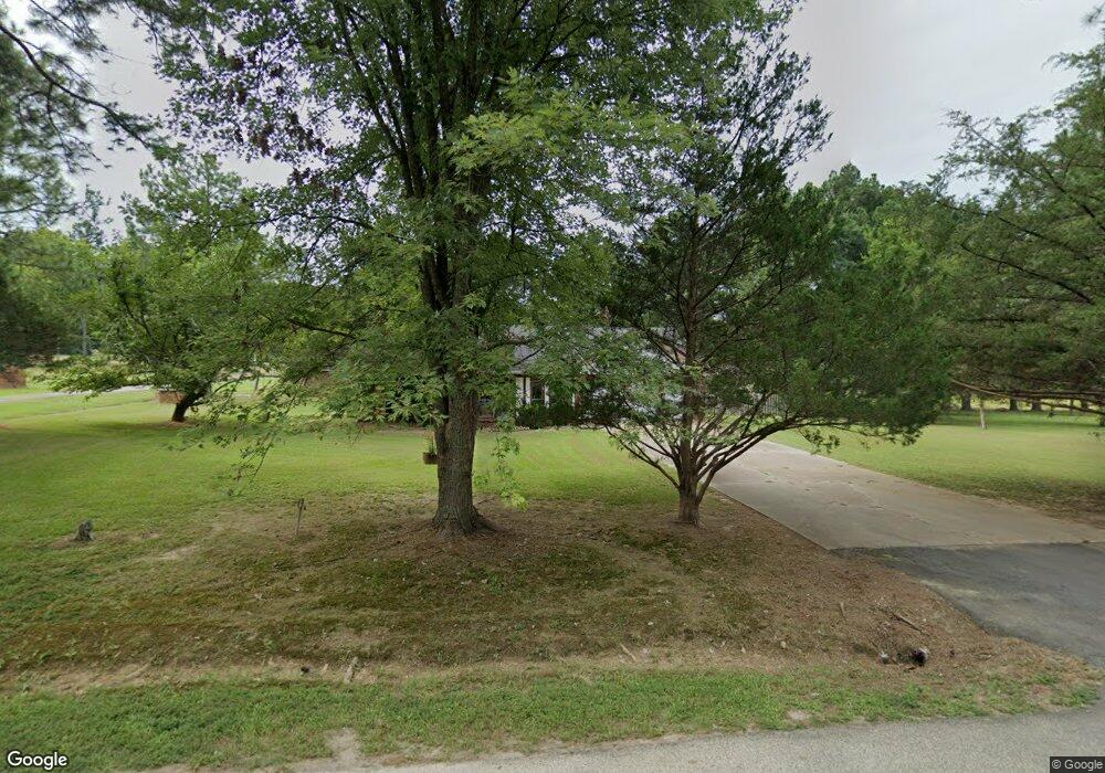
8 Bright Rd Conway, AR 72032
Estimated Value: $242,000 - $263,000
Studio
2
Baths
1,860
Sq Ft
$136/Sq Ft
Est. Value
About This Home
This home is located at 8 Bright Rd, Conway, AR 72032 and is currently estimated at $252,510, approximately $135 per square foot. 8 Bright Rd is a home located in Faulkner County with nearby schools including Preston & Florence Mattison Elementary School, Bob Courtway Middle School, and Conway Junior High School.
Ownership History
Date
Name
Owned For
Owner Type
Purchase Details
Closed on
May 17, 2018
Sold by
Lynn Kyle G
Bought by
Lynn Lynn W and Lynn Theresa
Current Estimated Value
Home Financials for this Owner
Home Financials are based on the most recent Mortgage that was taken out on this home.
Original Mortgage
$120,000
Outstanding Balance
$103,324
Interest Rate
4.4%
Mortgage Type
New Conventional
Estimated Equity
$149,186
Purchase Details
Closed on
Apr 24, 2008
Bought by
Kyle G
Purchase Details
Closed on
Jul 25, 1995
Bought by
Strohm
Create a Home Valuation Report for This Property
The Home Valuation Report is an in-depth analysis detailing your home's value as well as a comparison with similar homes in the area
Home Values in the Area
Average Home Value in this Area
Purchase History
| Date | Buyer | Sale Price | Title Company |
|---|---|---|---|
| Lynn Lynn W | $150,000 | None Available | |
| Kyle G | -- | -- | |
| Strohm | $97,000 | -- |
Source: Public Records
Mortgage History
| Date | Status | Borrower | Loan Amount |
|---|---|---|---|
| Open | Lynn Lynn W | $120,000 |
Source: Public Records
Tax History
| Year | Tax Paid | Tax Assessment Tax Assessment Total Assessment is a certain percentage of the fair market value that is determined by local assessors to be the total taxable value of land and additions on the property. | Land | Improvement |
|---|---|---|---|---|
| 2025 | $1,397 | $48,030 | $3,960 | $44,070 |
| 2024 | $1,397 | $48,030 | $3,960 | $44,070 |
| 2023 | $1,397 | $36,630 | $3,960 | $32,670 |
| 2022 | $1,072 | $36,630 | $3,960 | $32,670 |
| 2021 | $1,057 | $36,630 | $3,960 | $32,670 |
| 2020 | $1,057 | $30,110 | $2,700 | $27,410 |
| 2019 | $1,057 | $30,110 | $2,700 | $27,410 |
| 2018 | $1,082 | $30,110 | $2,700 | $27,410 |
| 2017 | $1,432 | $30,110 | $2,700 | $27,410 |
| 2016 | $1,432 | $30,110 | $2,700 | $27,410 |
| 2015 | $1,315 | $28,330 | $2,700 | $25,630 |
| 2014 | $1,350 | $28,330 | $2,700 | $25,630 |
Source: Public Records
Map
Nearby Homes
- 9 Olivia Ln
- 10 Starr Ln
- 119 Middle Rd
- 24 Lots Hays Add
- 82 Addi Ln
- 164 Middle Rd
- 278-I U S Highway 64
- 278-H U S Highway 64
- 278 Hwy 64 E
- 278 C U S Highway 64 E
- 278-E Hwy 64 E
- 2415 E Oak St
- 30 Hazelwood Rd
- 3400 Perryville Dr
- 2365 E Oak St
- 3470 Bentonville
- 3335 Appomattox Dr
- 3400 Appomattox Dr
- 3335 Antietam Dr
- 000 Malvern Hills Dr
Your Personal Tour Guide
Ask me questions while you tour the home.