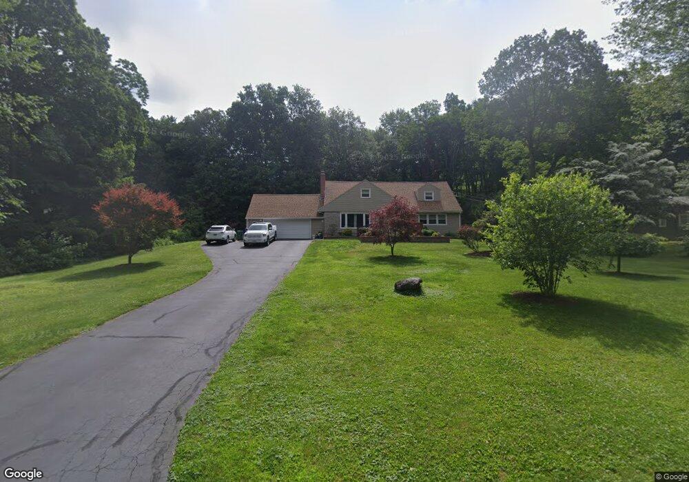
8 Burnwood Dr Bloomfield, CT 06002
Estimated Value: $476,000 - $527,000
4
Beds
3
Baths
2,253
Sq Ft
$225/Sq Ft
Est. Value
About This Home
This home is located at 8 Burnwood Dr, Bloomfield, CT 06002 and is currently estimated at $507,390, approximately $225 per square foot. 8 Burnwood Dr is a home located in Hartford County with nearby schools including Laurel School, Carmen Arace Intermediate School, and Metacomet School.
Ownership History
Date
Name
Owned For
Owner Type
Purchase Details
Closed on
Oct 28, 2005
Sold by
Pipick Robert
Bought by
Stathum Willie and Stathum Karen
Current Estimated Value
Home Financials for this Owner
Home Financials are based on the most recent Mortgage that was taken out on this home.
Original Mortgage
$200,000
Outstanding Balance
$107,903
Interest Rate
5.79%
Mortgage Type
Purchase Money Mortgage
Estimated Equity
$399,487
Purchase Details
Closed on
Feb 28, 2002
Sold by
Braden Kelly
Bought by
Pipick Robert
Create a Home Valuation Report for This Property
The Home Valuation Report is an in-depth analysis detailing your home's value as well as a comparison with similar homes in the area
Home Values in the Area
Average Home Value in this Area
Purchase History
| Date | Buyer | Sale Price | Title Company |
|---|---|---|---|
| Stathum Willie | $310,000 | -- | |
| Stathum Willie | $310,000 | -- | |
| Pipick Robert | $185,000 | -- | |
| Pipick Robert | $185,000 | -- |
Source: Public Records
Mortgage History
| Date | Status | Borrower | Loan Amount |
|---|---|---|---|
| Open | Pipick Robert | $200,000 | |
| Closed | Pipick Robert | $200,000 | |
| Previous Owner | Pipick Robert | $84,000 |
Source: Public Records
Tax History Compared to Growth
Tax History
| Year | Tax Paid | Tax Assessment Tax Assessment Total Assessment is a certain percentage of the fair market value that is determined by local assessors to be the total taxable value of land and additions on the property. | Land | Improvement |
|---|---|---|---|---|
| 2025 | $11,820 | $315,210 | $62,580 | $252,630 |
| 2024 | $7,878 | $200,760 | $52,430 | $148,330 |
| 2023 | $7,735 | $200,760 | $52,430 | $148,330 |
| 2022 | $7,233 | $200,760 | $52,430 | $148,330 |
| 2021 | $7,394 | $200,760 | $52,430 | $148,330 |
| 2020 | $7,280 | $200,760 | $52,430 | $148,330 |
| 2019 | $7,710 | $199,430 | $52,430 | $147,000 |
| 2018 | $6,737 | $174,440 | $52,220 | $122,220 |
| 2017 | $6,726 | $174,440 | $52,220 | $122,220 |
| 2016 | $6,568 | $174,440 | $52,220 | $122,220 |
| 2015 | $6,446 | $174,440 | $52,220 | $122,220 |
| 2014 | $6,222 | $174,090 | $53,550 | $120,540 |
Source: Public Records
Map
Nearby Homes
- 23 Loeffler Rd
- 9 Mallard Dr
- 6 Wild Rose Ct Unit 6
- 76 Silo Way Unit 76
- 86 Gabb Rd
- 35 Saddle Ridge Unit 35
- 40 Mountain Ave
- 24 Alice Dr Unit 24
- 18 Nolan Dr
- 30 Biltmore Park Unit 30
- 2 Pent Rd
- 34 Cary Ln Unit 34
- 365 Simsbury Rd
- 545 Simsbury Rd
- 2 Chambord Park
- 1 Cedar Close
- 8 Roberts Rd
- 70 Tunxis Ave
- 17 Cranbrook
- 537 Bloomfield Ave
- 6 Burnwood Dr
- 35 Cliffmount Dr
- 10 Burnwood Dr
- 33 Cliffmount Dr
- 11 Burnwood Dr
- 4 Burnwood Dr
- 37 Cliffmount Dr
- 5 Burnwood Dr
- 34 Grant Hill Rd
- 17 Milburn Dr
- 31 Cliffmount Dr
- 39 Cliffmount Dr
- 28 Cliffmount Dr
- 32 Grant Hill Rd
- 2 Burnwood Dr
- 30 Cliffmount Dr
- 30 Grant Hill Rd
- 21 Milburn Dr
- 14 Burnwood Dr
- 29 Cliffmount Dr