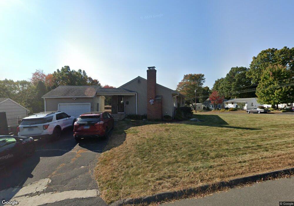
8 Cabot St Bristol, CT 06010
Forestville NeighborhoodEstimated Value: $289,000 - $316,602
3
Beds
1
Bath
960
Sq Ft
$310/Sq Ft
Est. Value
About This Home
This home is located at 8 Cabot St, Bristol, CT 06010 and is currently estimated at $297,901, approximately $310 per square foot. 8 Cabot St is a home located in Hartford County with nearby schools including Northeast Middle School, Bristol Eastern High School, and St Matthew School.
Ownership History
Date
Name
Owned For
Owner Type
Purchase Details
Closed on
Apr 11, 2005
Sold by
Nelson Ann L
Bought by
Gagnon Marc R and Gagnon Melanie A
Current Estimated Value
Home Financials for this Owner
Home Financials are based on the most recent Mortgage that was taken out on this home.
Original Mortgage
$183,767
Interest Rate
5.87%
Mortgage Type
VA
Purchase Details
Closed on
May 13, 1988
Sold by
Ahl Carl G
Bought by
Wells Richard
Create a Home Valuation Report for This Property
The Home Valuation Report is an in-depth analysis detailing your home's value as well as a comparison with similar homes in the area
Home Values in the Area
Average Home Value in this Area
Purchase History
| Date | Buyer | Sale Price | Title Company |
|---|---|---|---|
| Gagnon Marc R | $179,900 | -- | |
| Wells Richard | $130,000 | -- |
Source: Public Records
Mortgage History
| Date | Status | Borrower | Loan Amount |
|---|---|---|---|
| Open | Wells Richard | $169,180 | |
| Closed | Wells Richard | $30,300 | |
| Closed | Wells Richard | $183,767 | |
| Closed | Wells Richard | $183,767 |
Source: Public Records
Tax History Compared to Growth
Tax History
| Year | Tax Paid | Tax Assessment Tax Assessment Total Assessment is a certain percentage of the fair market value that is determined by local assessors to be the total taxable value of land and additions on the property. | Land | Improvement |
|---|---|---|---|---|
| 2025 | $5,172 | $153,230 | $40,110 | $113,120 |
| 2024 | $4,695 | $147,420 | $40,110 | $107,310 |
| 2023 | $4,474 | $147,420 | $40,110 | $107,310 |
| 2022 | $4,037 | $105,280 | $32,550 | $72,730 |
| 2021 | $4,037 | $105,280 | $32,550 | $72,730 |
| 2020 | $4,037 | $105,280 | $32,550 | $72,730 |
| 2019 | $4,006 | $105,280 | $32,550 | $72,730 |
| 2018 | $3,883 | $105,280 | $32,550 | $72,730 |
| 2017 | $3,917 | $108,710 | $40,460 | $68,250 |
| 2016 | $3,917 | $108,710 | $40,460 | $68,250 |
| 2015 | $3,762 | $108,710 | $40,460 | $68,250 |
| 2014 | $3,675 | $106,190 | $40,460 | $65,730 |
Source: Public Records
Map
Nearby Homes
- 107 Brace Ave
- 79 Beths Ave Unit 100
- 102 Renee St
- 58 Matilda Dr
- 1325 Farmington Ave Unit 52
- 1325 Farmington Ave Unit 2
- 9 Beechwood Rd
- 35 Ruth St Unit 45
- 3 Sandra St
- 0 Overlook Dr Unit Lot 3 24092446
- 0 Overlook Dr Unit Lot 4 24092448
- 36 Douglas Rd
- 84 Robertson St Unit 84
- 16 Cardinal Dr
- 23 Bel Aire Dr
- 52 Barbara Rd
- 116 Songbird Ln Unit 116
- 31 Morris Ave
- 123 Garfield Rd
- 27 Adeline Ave