8 Cedar Point Dr Hampton, VA 23669
Victoria Boulevard Historic District NeighborhoodEstimated Value: $461,000 - $1,703,368
3
Beds
4
Baths
4,749
Sq Ft
$290/Sq Ft
Est. Value
About This Home
This home is located at 8 Cedar Point Dr, Hampton, VA 23669 and is currently estimated at $1,375,092, approximately $289 per square foot. 8 Cedar Point Dr is a home located in Hampton City with nearby schools including Hunter B. Andrews PK-8 School, C. Alton Lindsay Middle School, and Phoebus High School.
Ownership History
Date
Name
Owned For
Owner Type
Purchase Details
Closed on
Jul 20, 2022
Sold by
Brown Ii William T and Brown Eleanor W
Bought by
Quinn Ted R and Quinn Rita K
Current Estimated Value
Purchase Details
Closed on
Apr 30, 2010
Sold by
Mckinney Elizabeth G
Bought by
Brown William T
Home Financials for this Owner
Home Financials are based on the most recent Mortgage that was taken out on this home.
Original Mortgage
$488,750
Interest Rate
4.99%
Mortgage Type
Construction
Create a Home Valuation Report for This Property
The Home Valuation Report is an in-depth analysis detailing your home's value as well as a comparison with similar homes in the area
Home Values in the Area
Average Home Value in this Area
Purchase History
| Date | Buyer | Sale Price | Title Company |
|---|---|---|---|
| Quinn Ted R | $1,500,000 | New Title Company Name | |
| Brown William T | $575,000 | -- |
Source: Public Records
Mortgage History
| Date | Status | Borrower | Loan Amount |
|---|---|---|---|
| Previous Owner | Brown William T | $488,750 |
Source: Public Records
Tax History
| Year | Tax Paid | Tax Assessment Tax Assessment Total Assessment is a certain percentage of the fair market value that is determined by local assessors to be the total taxable value of land and additions on the property. | Land | Improvement |
|---|---|---|---|---|
| 2025 | $17,506 | $1,571,200 | $392,400 | $1,178,800 |
| 2024 | $16,804 | $1,461,200 | $392,400 | $1,068,800 |
| 2023 | $16,148 | $1,392,100 | $392,400 | $999,700 |
| 2022 | $11,497 | $974,300 | $300,200 | $674,100 |
| 2021 | $10,421 | $829,900 | $277,100 | $552,800 |
| 2020 | $10,120 | $816,100 | $276,500 | $539,600 |
| 2019 | $10,120 | $816,100 | $276,500 | $539,600 |
| 2018 | $10,304 | $816,100 | $276,500 | $539,600 |
| 2017 | $10,214 | $0 | $0 | $0 |
| 2016 | $10,214 | $816,100 | $0 | $0 |
| 2015 | $10,393 | $0 | $0 | $0 |
| 2014 | $11,538 | $877,500 | $291,000 | $586,500 |
Source: Public Records
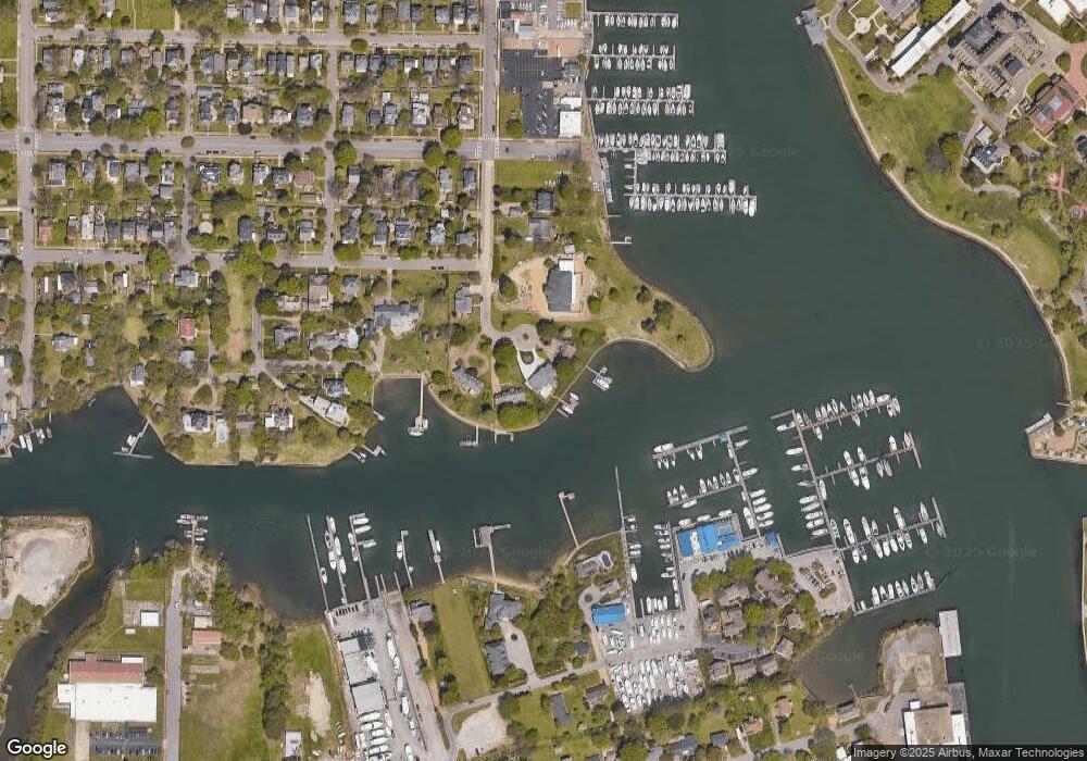
Map
Nearby Homes
- 4 Cedar Point Dr
- 19 Capps Qtrs Unit 1
- 19 Capps Qtrs
- 6 Capps Qtrs Unit 2
- 159 Columbia Ave
- 19 Capps Quarters Unit 1
- 4408 Victoria Blvd
- 163 Columbia Ave
- 144 Meredith St
- 241 Newport News Ave
- 27 Trail St
- 27 Bacon St
- 415 Lee St
- 4207 Chesapeake Ave
- 430 Newport News Ave
- 44 Henry St
- 39 W Sunset Rd
- 29 Moss Ave
- 233 Mill Point Dr
- 357 W Queen St
- 6 Cedar Point Dr
- 10 Cedar Point Dr
- 11 Cedar Point Dr
- 2 Cedar Point Dr
- 22/24 Columbia Ave
- 73 Columbia Ave
- 619 Bridge St
- 624 Bridge St
- 609 Bridge St
- 60 Columbia Ave
- 81 Breakwater St
- 105 Marina Rd
- 66 Columbia Ave
- 4706 Victoria Blvd
- 4712 Victoria Blvd
- 82 Breakwater St
- 801 Park Place
- 77 Columbia Ave
- 4612 Victoria Blvd
- 4710 Victoria Blvd
Your Personal Tour Guide
Ask me questions while you tour the home.