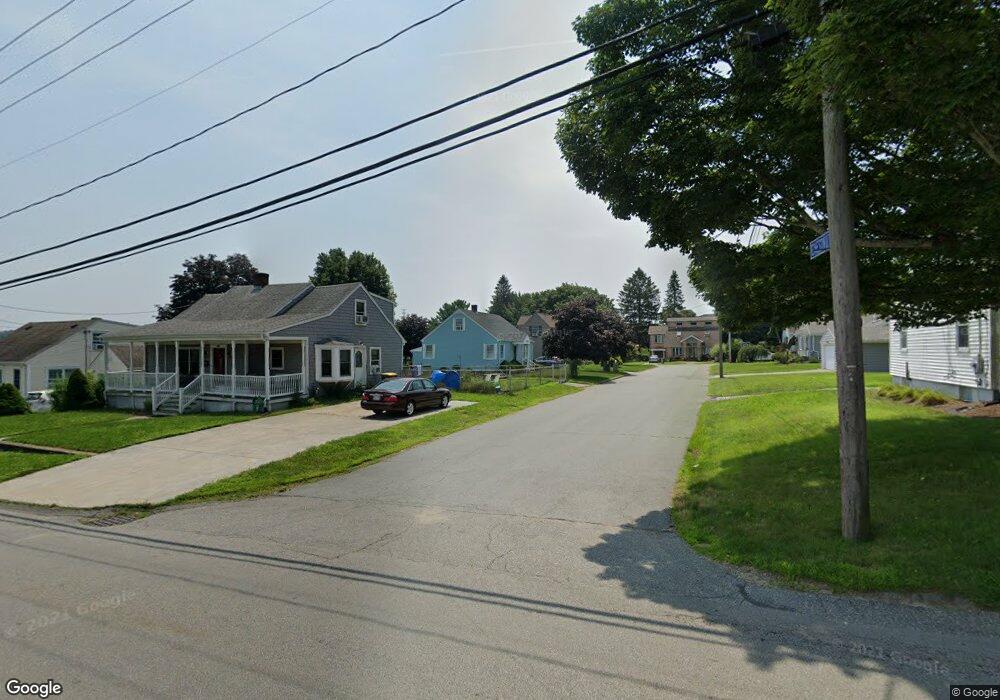
8 Chestnut St Somerset, MA 02726
Pottersville NeighborhoodEstimated Value: $445,000 - $474,000
3
Beds
2
Baths
1,290
Sq Ft
$359/Sq Ft
Est. Value
About This Home
This home is located at 8 Chestnut St, Somerset, MA 02726 and is currently estimated at $463,413, approximately $359 per square foot. 8 Chestnut St is a home located in Bristol County with nearby schools including Chace Street School, Somerset Middle School, and Swansea Wood School.
Ownership History
Date
Name
Owned For
Owner Type
Purchase Details
Closed on
Jul 14, 2023
Sold by
Jewell Robert H
Bought by
Jewell Robert H and Jewell Christopher
Current Estimated Value
Create a Home Valuation Report for This Property
The Home Valuation Report is an in-depth analysis detailing your home's value as well as a comparison with similar homes in the area
Home Values in the Area
Average Home Value in this Area
Purchase History
| Date | Buyer | Sale Price | Title Company |
|---|---|---|---|
| Jewell Robert H | -- | None Available | |
| Jewell Robert H | -- | None Available |
Source: Public Records
Tax History Compared to Growth
Tax History
| Year | Tax Paid | Tax Assessment Tax Assessment Total Assessment is a certain percentage of the fair market value that is determined by local assessors to be the total taxable value of land and additions on the property. | Land | Improvement |
|---|---|---|---|---|
| 2025 | $5,199 | $390,900 | $176,400 | $214,500 |
| 2024 | $4,895 | $382,700 | $176,400 | $206,300 |
| 2023 | $4,285 | $337,900 | $153,100 | $184,800 |
| 2022 | $3,946 | $296,900 | $131,700 | $165,200 |
| 2021 | $3,969 | $270,400 | $118,700 | $151,700 |
| 2020 | $3,837 | $252,100 | $118,600 | $133,500 |
| 2019 | $4,358 | $238,800 | $118,600 | $120,200 |
| 2018 | $3,799 | $224,000 | $111,700 | $112,300 |
| 2017 | $3,711 | $213,300 | $106,600 | $106,700 |
| 2016 | $3,735 | $213,300 | $106,600 | $106,700 |
| 2015 | $3,444 | $198,500 | $101,700 | $96,800 |
| 2014 | $4,617 | $191,200 | $98,800 | $92,400 |
Source: Public Records
Map
Nearby Homes
- 51 Linden Dr
- 54 Grant Ave
- 2396 Riverside Ave
- 81 Wood St
- 2714 Riverside Ave
- 0 Bark St Unit 1342599
- 0 Bark St Unit 73152576
- 80 Meadow Ln
- 66 Meadow Ln
- 34 Doherty Ave
- 1496 Riverside Ave
- 95 Brookside Rd
- 345 Chace St
- 146 Swansom Rd
- 3216 N Main St
- 50 Clark St Unit 19
- 3682 N Main St Unit 7
- 702 Bark St
- 745 Bark St
- 120 Terri Marie Way Unit 5-13
- 20 Chestnut St
- 50 Hemlock St
- 000 Hbb Gas Ln
- 39 Cedar St
- 407 Buffinton St
- 68 Hemlock St
- 393 Buffinton St
- 29 Hemlock St
- 41 Hemlock St
- 17 Hemlock St
- 55 Hemlock St
- 5 Hemlock St
- 80 Hemlock St
- 379 Buffinton St
- 445 Buffinton St
- 1 Confidential Way
- 0 Michelle Ave Unit 72196765
- 75 Hemlock St
- 38 Cedar St
- 398 Buffinton St