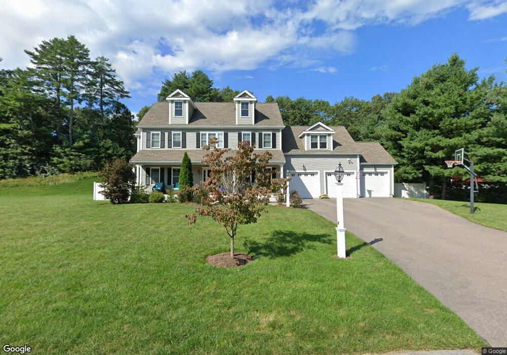
8 Cranberry Ln Wrentham, MA 02093
Estimated Value: $1,050,000 - $1,231,000
4
Beds
3
Baths
2,730
Sq Ft
$415/Sq Ft
Est. Value
About This Home
This home is located at 8 Cranberry Ln, Wrentham, MA 02093 and is currently estimated at $1,131,876, approximately $414 per square foot. 8 Cranberry Ln is a home with nearby schools including Delaney Elementary School and Charles E Roderick.
Ownership History
Date
Name
Owned For
Owner Type
Purchase Details
Closed on
Jan 6, 2016
Sold by
Mountain Dog Developme
Bought by
Schmier Aaron B and Schmier Dawn M
Current Estimated Value
Home Financials for this Owner
Home Financials are based on the most recent Mortgage that was taken out on this home.
Original Mortgage
$568,000
Outstanding Balance
$451,742
Interest Rate
3.96%
Mortgage Type
Purchase Money Mortgage
Estimated Equity
$680,134
Create a Home Valuation Report for This Property
The Home Valuation Report is an in-depth analysis detailing your home's value as well as a comparison with similar homes in the area
Home Values in the Area
Average Home Value in this Area
Purchase History
| Date | Buyer | Sale Price | Title Company |
|---|---|---|---|
| Schmier Aaron B | $716,000 | -- | |
| Mountain Dog Developme | -- | -- |
Source: Public Records
Mortgage History
| Date | Status | Borrower | Loan Amount |
|---|---|---|---|
| Open | Schmier Aaron B | $568,000 |
Source: Public Records
Tax History Compared to Growth
Tax History
| Year | Tax Paid | Tax Assessment Tax Assessment Total Assessment is a certain percentage of the fair market value that is determined by local assessors to be the total taxable value of land and additions on the property. | Land | Improvement |
|---|---|---|---|---|
| 2025 | $12,252 | $1,057,100 | $341,700 | $715,400 |
| 2024 | $11,617 | $968,100 | $341,700 | $626,400 |
| 2023 | $11,547 | $915,000 | $310,500 | $604,500 |
| 2022 | $10,978 | $803,100 | $282,200 | $520,900 |
| 2021 | $10,720 | $761,900 | $282,200 | $479,700 |
| 2020 | $10,777 | $756,300 | $231,900 | $524,400 |
| 2019 | $10,268 | $727,200 | $231,900 | $495,300 |
| 2018 | $10,015 | $703,300 | $232,200 | $471,100 |
| 2017 | $9,918 | $696,000 | $227,700 | $468,300 |
| 2016 | $1,579 | $110,600 | $110,600 | $0 |
| 2015 | $1,138 | $76,000 | $76,000 | $0 |
| 2014 | $1,119 | $73,100 | $73,100 | $0 |
Source: Public Records
Map
Nearby Homes
- 791 South St Unit 5
- Lot 1 - Blueberry 2 Car Plan at King Philip Estates
- Lot 8 - Blueberry 2 Car Plan at King Philip Estates
- Lot 5 - Hughes 2 car Plan at King Philip Estates
- Lot 6 - Blueberry 3 Car Plan at King Philip Estates
- Lot 2 - Camden 2 Car Plan at King Philip Estates
- Lot 7 - Cedar Plan at King Philip Estates
- Lot 4 - Hemingway 2 Car Plan at King Philip Estates
- Lot 3 - Blueberry 2 Car Plan at King Philip Estates
- Lot 3 - 14 Earle Stewart Ln
- 11 Earle Stewart Ln
- 440 Chestnut St
- 50 Green St
- 80 Carriage House Ln
- 131 Creek St Unit 7
- 1204 South St
- 1222 South St
- 955 Summer St
- 319 Taunton St
- 570 Franklin St
- Lot 5 Cranberry Ln
- 7 Cranberry Ln
- 199 Bennett St
- 80 Oxbow Dr
- 215 Bennett St
- 40 Roger Goodwin Dr
- 11 Cranberry Ln
- 77 Oxbow Dr
- 225 Bennett St
- 78 Oxbow Dr
- 145 Bennett St
- 3 Cranberry Ln
- 30 Roger Goodwin Dr
- 40 Abner Belcher Rd
- 235 Bennett St
- 20 Roger Goodwin Dr
- 10 Roger Goodwin Dr
- 45 Roger Goodwin Dr
- 248 Bennett St
- 25 Abner Belcher Rd