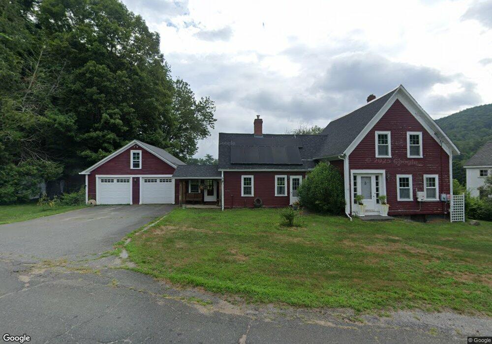
8 Cross St Buckland, MA 01338
Buckland NeighborhoodEstimated Value: $356,000 - $514,000
2
Beds
2
Baths
1,738
Sq Ft
$242/Sq Ft
Est. Value
About This Home
This home is located at 8 Cross St, Buckland, MA 01338 and is currently estimated at $421,121, approximately $242 per square foot. 8 Cross St is a home with nearby schools including Mohawk Trail Regional High School.
Ownership History
Date
Name
Owned For
Owner Type
Purchase Details
Closed on
Jul 24, 2000
Sold by
Hershberger Mary L
Bought by
Turley Michael F
Current Estimated Value
Home Financials for this Owner
Home Financials are based on the most recent Mortgage that was taken out on this home.
Original Mortgage
$134,080
Interest Rate
8.28%
Mortgage Type
Purchase Money Mortgage
Create a Home Valuation Report for This Property
The Home Valuation Report is an in-depth analysis detailing your home's value as well as a comparison with similar homes in the area
Home Values in the Area
Average Home Value in this Area
Purchase History
We collect this data history from publicly available records. To have your information removed, we recommend requesting removal directly through your county’s website.
| Date | Buyer | Sale Price | Title Company |
|---|---|---|---|
| Turley Michael F | $130,100 | -- |
Source: Public Records
Mortgage History
We collect this data history from publicly available records. To have your information removed, we recommend requesting removal directly through your county’s website.
| Date | Status | Borrower | Loan Amount |
|---|---|---|---|
| Open | Turley Michael F | $110,000 | |
| Closed | Turley Michael F | $135,000 | |
| Closed | Turley Michael F | $134,080 |
Source: Public Records
Tax History
| Year | Tax Paid | Tax Assessment Tax Assessment Total Assessment is a certain percentage of the fair market value that is determined by local assessors to be the total taxable value of land and additions on the property. | Land | Improvement |
|---|---|---|---|---|
| 2025 | $5,731 | $338,300 | $63,200 | $275,100 |
| 2024 | $5,649 | $321,700 | $63,200 | $258,500 |
| 2023 | $4,980 | $294,000 | $63,200 | $230,800 |
| 2022 | $4,933 | $294,000 | $63,200 | $230,800 |
| 2021 | $4,510 | $252,800 | $63,200 | $189,600 |
| 2020 | $198 | $237,600 | $63,200 | $174,400 |
| 2019 | $200 | $222,400 | $63,200 | $159,200 |
| 2018 | $4,049 | $214,800 | $63,200 | $151,600 |
| 2017 | $186 | $214,800 | $63,200 | $151,600 |
| 2016 | $3,620 | $214,200 | $63,200 | $151,000 |
| 2015 | $3,599 | $214,200 | $63,200 | $151,000 |
Source: Public Records
Map
Nearby Homes
- 3 Hog Hollow Rd
- 31 W Oxbow Rd
- 24 W Oxbow Rd
- 11 Bray Rd
- 2 Franklin St
- 143 Charlemont Rd
- 10 Deerfield Ave Unit 2
- 2151 Route 2
- 2155 Massachusetts 2
- 0 W Oxbow Rd Unit 248444
- 0 N Bear River Rd Unit 73485981
- 0, Lot 7 East Rd
- Lot 3.2 East Rd
- 2930 Shelburne Falls Rd
- 14 South St
- 168 Main St
- 107 Main St
- 14 E Hawley Rd
- 8 Deer Run Path
- 474 Little Mohawk Rd
Your Personal Tour Guide
Ask me questions while you tour the home.