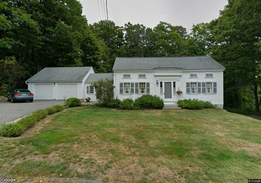
8 Cushing St Ashburnham, MA 01430
Estimated Value: $350,642 - $415,000
3
Beds
2
Baths
1,280
Sq Ft
$304/Sq Ft
Est. Value
About This Home
This home is located at 8 Cushing St, Ashburnham, MA 01430 and is currently estimated at $389,661, approximately $304 per square foot. 8 Cushing St is a home located in Worcester County with nearby schools including Oakmont Regional High School and Cushing Academy.
Ownership History
Date
Name
Owned For
Owner Type
Purchase Details
Closed on
Aug 27, 2019
Sold by
Sawyer Irt and Sawyer-Svensen
Bought by
Charleen C Sawyer Irt and Sawyer-Svensen
Current Estimated Value
Purchase Details
Closed on
Apr 7, 2014
Sold by
Sawyer Walter F and Sawyer Charleen C
Bought by
Sawyer Irt and Svensen
Purchase Details
Closed on
Aug 20, 1962
Bought by
Sawyer Walter F
Create a Home Valuation Report for This Property
The Home Valuation Report is an in-depth analysis detailing your home's value as well as a comparison with similar homes in the area
Home Values in the Area
Average Home Value in this Area
Purchase History
| Date | Buyer | Sale Price | Title Company |
|---|---|---|---|
| Charleen C Sawyer Irt | -- | -- | |
| Charleen C Sawyer Irt | -- | -- | |
| Sawyer Irt | -- | -- | |
| Sawyer Irt | -- | -- | |
| Sawyer Walter F | -- | -- |
Source: Public Records
Mortgage History
| Date | Status | Borrower | Loan Amount |
|---|---|---|---|
| Previous Owner | Sawyer Walter F | $150,000 | |
| Previous Owner | Sawyer Walter F | $142,800 |
Source: Public Records
Tax History
| Year | Tax Paid | Tax Assessment Tax Assessment Total Assessment is a certain percentage of the fair market value that is determined by local assessors to be the total taxable value of land and additions on the property. | Land | Improvement |
|---|---|---|---|---|
| 2025 | $4,537 | $305,100 | $36,300 | $268,800 |
| 2024 | $4,388 | $278,600 | $36,300 | $242,300 |
| 2023 | $4,207 | $254,200 | $36,300 | $217,900 |
| 2022 | $4,305 | $228,000 | $35,500 | $192,500 |
| 2021 | $4,024 | $195,800 | $35,500 | $160,300 |
| 2020 | $3,936 | $195,800 | $35,500 | $160,300 |
| 2019 | $3,522 | $156,200 | $35,500 | $120,700 |
| 2018 | $3,330 | $142,300 | $33,800 | $108,500 |
| 2017 | $3,253 | $141,600 | $36,800 | $104,800 |
| 2016 | $3,292 | $144,700 | $36,100 | $108,600 |
| 2015 | $3,224 | $144,700 | $36,100 | $108,600 |
Source: Public Records
Map
Nearby Homes
Your Personal Tour Guide
Ask me questions while you tour the home.