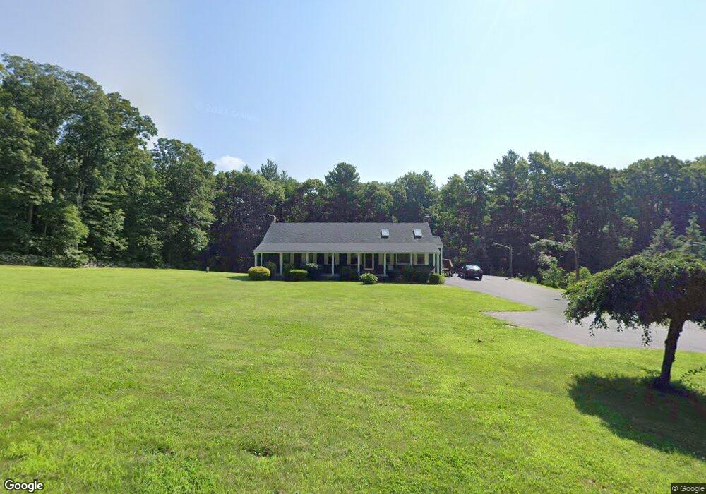
8 Dakin Rd Sutton, MA 01590
Estimated Value: $612,000 - $723,000
3
Beds
2
Baths
1,830
Sq Ft
$363/Sq Ft
Est. Value
About This Home
This home is located at 8 Dakin Rd, Sutton, MA 01590 and is currently estimated at $664,864, approximately $363 per square foot. 8 Dakin Rd is a home located in Worcester County with nearby schools including Sutton Elementary School, Sutton Middle School, and Sutton High School.
Ownership History
Date
Name
Owned For
Owner Type
Purchase Details
Closed on
Oct 27, 1997
Sold by
Perkins David W and Perkins Pamela A
Bought by
Martinello Anthony P and Martinello Kathleen
Current Estimated Value
Home Financials for this Owner
Home Financials are based on the most recent Mortgage that was taken out on this home.
Original Mortgage
$143,000
Interest Rate
7.48%
Mortgage Type
Purchase Money Mortgage
Create a Home Valuation Report for This Property
The Home Valuation Report is an in-depth analysis detailing your home's value as well as a comparison with similar homes in the area
Home Values in the Area
Average Home Value in this Area
Purchase History
| Date | Buyer | Sale Price | Title Company |
|---|---|---|---|
| Martinello Anthony P | $179,900 | -- |
Source: Public Records
Mortgage History
| Date | Status | Borrower | Loan Amount |
|---|---|---|---|
| Open | Martinello Anthony P | $135,500 | |
| Closed | Martinello Anthony P | $143,000 | |
| Previous Owner | Martinello Anthony P | $6,846 |
Source: Public Records
Tax History
| Year | Tax Paid | Tax Assessment Tax Assessment Total Assessment is a certain percentage of the fair market value that is determined by local assessors to be the total taxable value of land and additions on the property. | Land | Improvement |
|---|---|---|---|---|
| 2025 | $6,353 | $528,500 | $189,800 | $338,700 |
| 2024 | $6,663 | $525,500 | $181,300 | $344,200 |
| 2023 | $6,000 | $433,200 | $164,500 | $268,700 |
| 2022 | $6,125 | $403,500 | $125,500 | $278,000 |
| 2021 | $5,761 | $346,300 | $125,500 | $220,800 |
| 2020 | $5,492 | $346,300 | $125,500 | $220,800 |
| 2019 | $5,333 | $322,800 | $125,500 | $197,300 |
| 2018 | $5,729 | $311,000 | $125,500 | $185,500 |
| 2017 | $4,958 | $300,500 | $110,300 | $190,200 |
| 2016 | $4,894 | $293,400 | $110,300 | $183,100 |
| 2015 | $4,735 | $283,900 | $110,300 | $173,600 |
| 2014 | $4,701 | $278,500 | $116,000 | $162,500 |
Source: Public Records
Map
Nearby Homes
- 7 Central Turnpike
- 82 Central Turnpike
- 5 Wildflower Dr
- 191 Hartness Rd
- 51 Lincoln Rd
- 175 Armsby Rd
- 20 Wunschel Dr
- 229 Worcester-Providence Turnpike
- 79 Fisherville Terrace
- 53 Fisherville Terrace
- 55 Fisherville Terrace
- 44 Fisherville Terrace
- 58 Fisherville Terrace
- 64 Fisherville Terrace
- 62 Fisherville Terrace
- 220 Alana Dr
- 240 Roosevelt Dr
- 4 Hillside Dr
- 109 Main St
- 578 Carpenter Rd
- 15 Pierce Rd
- 143 Leland Hill Rd
- 138 Leland Hill Rd
- 142 Leland Hill Rd
- 19 Pierce Rd
- 134 Leland Hill Rd
- 10 Pierce Rd
- 21 Pierce Rd
- 16 Pierce Rd
- 20 Pierce Rd
- 127 Leland Hill Rd
- 154 Leland Hill Rd
- 151 Leland Hill Rd
- 25 Pierce Rd
- 128 Leland Hill Rd
- 26 Pierce Rd
- 31 Pierce Rd
- 160 Leland Hill Rd
- 54 Central Turnpike
- 159 Leland Hill Rd
Your Personal Tour Guide
Ask me questions while you tour the home.