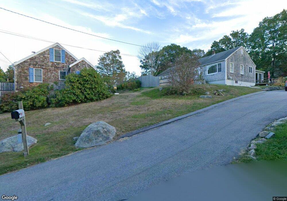
8 Dodds Ln Rockport, MA 01966
Estimated Value: $713,000 - $767,000
3
Beds
2
Baths
1,536
Sq Ft
$477/Sq Ft
Est. Value
About This Home
This home is located at 8 Dodds Ln, Rockport, MA 01966 and is currently estimated at $732,678, approximately $477 per square foot. 8 Dodds Ln is a home located in Essex County with nearby schools including Rockport Elementary School, Rockport Middle School, and Rockport High School.
Create a Home Valuation Report for This Property
The Home Valuation Report is an in-depth analysis detailing your home's value as well as a comparison with similar homes in the area
Home Values in the Area
Average Home Value in this Area
Tax History
| Year | Tax Paid | Tax Assessment Tax Assessment Total Assessment is a certain percentage of the fair market value that is determined by local assessors to be the total taxable value of land and additions on the property. | Land | Improvement |
|---|---|---|---|---|
| 2025 | $5,234 | $597,500 | $232,300 | $365,200 |
| 2024 | $4,946 | $587,400 | $222,200 | $365,200 |
| 2023 | $4,822 | $511,300 | $211,600 | $299,700 |
| 2022 | $4,325 | $440,400 | $214,800 | $225,600 |
| 2021 | $4,112 | $422,200 | $204,500 | $217,700 |
| 2020 | $3,551 | $351,600 | $184,500 | $167,100 |
| 2019 | $3,332 | $337,900 | $179,700 | $158,200 |
| 2018 | $3,474 | $343,600 | $189,700 | $153,900 |
| 2017 | $3,445 | $305,400 | $172,000 | $133,400 |
| 2016 | $3,264 | $290,100 | $149,600 | $140,500 |
Source: Public Records
Map
Nearby Homes
- 177 Main St
- 1 Charte Ct
- 27 Hodgkins Rd
- 5 Smith St Unit R
- 1 Main St Unit R
- 1 Main St Unit C
- 34R Summer St
- 4 Norwood Ave
- 33 Quarry Ridge Ln Unit 33
- 33 Highview Rd
- 148 Long Beach
- 175 South St
- 48 Eden Rd
- 78 Thatcher Rd Unit 6
- 25 Salt Island Rd
- 13 Phillips Ave
- 26 Marina Dr
- 7 Colburn St
- 10 Emerald St
- 32 Haven Ave
Your Personal Tour Guide
Ask me questions while you tour the home.