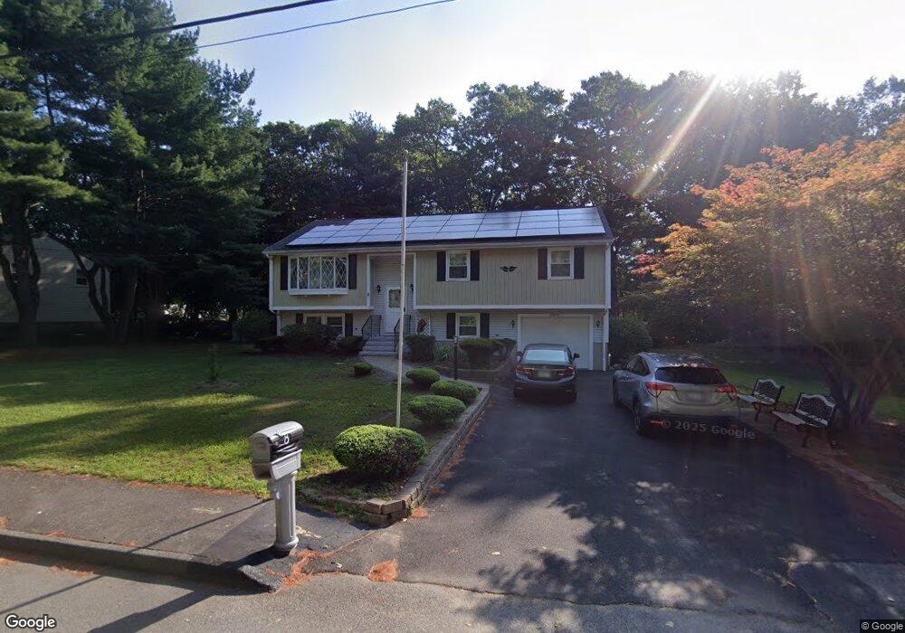
8 Dorian Way Holbrook, MA 02343
Estimated Value: $658,053 - $692,000
3
Beds
3
Baths
1,620
Sq Ft
$415/Sq Ft
Est. Value
About This Home
This home is located at 8 Dorian Way, Holbrook, MA 02343 and is currently estimated at $672,013, approximately $414 per square foot. 8 Dorian Way is a home located in Norfolk County with nearby schools including John F. Kennedy Elementary School, Holbrook Middle High School, and Boston Higashi School.
Ownership History
Date
Name
Owned For
Owner Type
Purchase Details
Closed on
Jun 11, 2024
Sold by
Woko Ivan C and Woko Florence N
Bought by
8 Dorian Way Rt and Woko
Current Estimated Value
Purchase Details
Closed on
Nov 26, 2003
Sold by
Sera Harry and Sera Margaret E
Bought by
Woko Ivan C and Woko Florence N
Home Financials for this Owner
Home Financials are based on the most recent Mortgage that was taken out on this home.
Original Mortgage
$332,500
Interest Rate
6.09%
Mortgage Type
Purchase Money Mortgage
Purchase Details
Closed on
Mar 4, 1988
Sold by
Brady Robert
Bought by
Sera Harry
Home Financials for this Owner
Home Financials are based on the most recent Mortgage that was taken out on this home.
Original Mortgage
$65,000
Interest Rate
10.35%
Mortgage Type
Purchase Money Mortgage
Create a Home Valuation Report for This Property
The Home Valuation Report is an in-depth analysis detailing your home's value as well as a comparison with similar homes in the area
Home Values in the Area
Average Home Value in this Area
Purchase History
| Date | Buyer | Sale Price | Title Company |
|---|---|---|---|
| 8 Dorian Way Rt | -- | None Available | |
| 8 Dorian Way Rt | -- | None Available | |
| 8 Dorian Way Rt | -- | None Available | |
| Woko Ivan C | $350,000 | -- | |
| Woko Ivan C | $350,000 | -- | |
| Sera Harry | $189,900 | -- |
Source: Public Records
Mortgage History
| Date | Status | Borrower | Loan Amount |
|---|---|---|---|
| Previous Owner | Woko Ivan C | $332,500 | |
| Previous Owner | Sera Harry | $100,000 | |
| Previous Owner | Sera Harry | $75,000 | |
| Previous Owner | Sera Harry | $65,000 |
Source: Public Records
Tax History Compared to Growth
Tax History
| Year | Tax Paid | Tax Assessment Tax Assessment Total Assessment is a certain percentage of the fair market value that is determined by local assessors to be the total taxable value of land and additions on the property. | Land | Improvement |
|---|---|---|---|---|
| 2025 | $74 | $561,500 | $260,900 | $300,600 |
| 2024 | $6,985 | $519,700 | $237,100 | $282,600 |
| 2023 | $7,413 | $482,000 | $215,600 | $266,400 |
| 2022 | $7,008 | $425,000 | $187,400 | $237,600 |
| 2021 | $6,891 | $400,200 | $175,200 | $225,000 |
| 2020 | $7,076 | $385,200 | $165,600 | $219,600 |
| 2019 | $6,998 | $359,600 | $153,100 | $206,500 |
| 2018 | $6,848 | $331,300 | $132,000 | $199,300 |
| 2017 | $6,876 | $329,000 | $132,000 | $197,000 |
| 2016 | $6,126 | $311,900 | $118,800 | $193,100 |
| 2015 | $5,711 | $299,300 | $114,000 | $185,300 |
| 2014 | $5,471 | $291,500 | $114,000 | $177,500 |
Source: Public Records
Map
Nearby Homes
- 12 Hamilton Way
- 28 Border Rd
- 55 Border Rd
- 14 Dale Rd
- 13 Mayflower Rd
- 3 Cummings Way
- 18 Laurel Park
- 941 S Franklin St
- 75 Hilltop Rd
- 17 Linwood St
- 36 Emery St
- 610 S Franklin St Unit D304
- 719 S Franklin St Unit D Block 1
- 719 S Franklin St Unit C Block 1
- 28 Hilltop Rd
- 22 Stratford Ave
- 41 Quincy St
- 1096 S Franklin St
- 101 Quincy St
- 27 Ell Rd