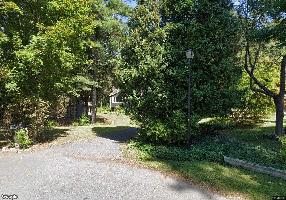
8 Dwight Cir Amherst, MA 01002
Estimated Value: $377,000 - $444,857
3
Beds
2
Baths
1,132
Sq Ft
$369/Sq Ft
Est. Value
About This Home
This home is located at 8 Dwight Cir, Amherst, MA 01002 and is currently estimated at $417,464, approximately $368 per square foot. 8 Dwight Cir is a home located in Hampshire County with nearby schools including Fort River Elementary School, Amherst Regional Middle School, and Amherst Regional High School.
Ownership History
Date
Name
Owned For
Owner Type
Purchase Details
Closed on
Jan 25, 2011
Sold by
Sullivan Patrick R
Bought by
Sullivan Joy R
Current Estimated Value
Home Financials for this Owner
Home Financials are based on the most recent Mortgage that was taken out on this home.
Original Mortgage
$135,000
Outstanding Balance
$91,673
Interest Rate
4.62%
Mortgage Type
Purchase Money Mortgage
Estimated Equity
$325,791
Purchase Details
Closed on
Nov 20, 1998
Sold by
Morin William E
Bought by
Sullivan Joy R and Sullivan Patrick R
Purchase Details
Closed on
May 26, 1998
Sold by
Jackson Nicole D
Bought by
Countrywide Home Loans
Purchase Details
Closed on
Aug 29, 1996
Sold by
Lariviere David E
Bought by
Jackson Nicole D
Create a Home Valuation Report for This Property
The Home Valuation Report is an in-depth analysis detailing your home's value as well as a comparison with similar homes in the area
Home Values in the Area
Average Home Value in this Area
Purchase History
| Date | Buyer | Sale Price | Title Company |
|---|---|---|---|
| Sullivan Joy R | -- | -- | |
| Sullivan Joy R | $115,000 | -- | |
| Countrywide Home Loans | $137,104 | -- | |
| Jackson Nicole D | $126,500 | -- |
Source: Public Records
Mortgage History
| Date | Status | Borrower | Loan Amount |
|---|---|---|---|
| Open | Jackson Nicole D | $15,000 | |
| Open | Jackson Nicole D | $135,000 |
Source: Public Records
Tax History Compared to Growth
Tax History
| Year | Tax Paid | Tax Assessment Tax Assessment Total Assessment is a certain percentage of the fair market value that is determined by local assessors to be the total taxable value of land and additions on the property. | Land | Improvement |
|---|---|---|---|---|
| 2025 | $71 | $394,300 | $188,300 | $206,000 |
| 2024 | $6,869 | $371,100 | $177,700 | $193,400 |
| 2023 | $6,468 | $321,800 | $161,700 | $160,100 |
| 2022 | $6,166 | $289,900 | $146,900 | $143,000 |
| 2021 | $5,865 | $268,800 | $136,100 | $132,700 |
| 2020 | $5,731 | $268,800 | $136,100 | $132,700 |
| 2019 | $5,605 | $257,100 | $136,100 | $121,000 |
| 2018 | $5,435 | $257,100 | $136,100 | $121,000 |
| 2017 | $5,604 | $256,700 | $129,700 | $127,000 |
| 2016 | $5,447 | $256,700 | $129,700 | $127,000 |
| 2015 | $5,273 | $256,700 | $129,700 | $127,000 |
Source: Public Records
Map
Nearby Homes
- 96 Logtown Rd
- 57 Tanglewood Rd
- 14 Pebble Ridge Rd
- 53 Pine Grove Unit 53
- 61 S Valley Rd
- 265 Stanley St
- 0 Heatherstone Rd
- 130 Linden Ridge Rd
- 100 Larkspur Dr
- 9 Harkness Rd
- 41 Arnold Rd
- 121 Amherst Rd
- 324 Pomeroy Ln
- 112 North St
- 48 Gray St
- Lot B-2 N Gulf Rd
- 0 Red Gate Ln Unit 73348273
- 305 Strong St
- 161 Chestnut St
- 170 E Hadley Rd Unit 123
- 9 Dwight Cir
- 4 Dwight Cir
- 5 Dwight Cir
- 1 Dwight Cir
- 124 Logtown Rd
- 126 Logtown Rd
- 128 Logtown Rd
- 120 Logtown Rd Unit 122
- 123 Logtown Rd
- 132 Logtown Rd
- 116 Logtown Rd
- 25 Flintlock Ln
- 127 Logtown Rd
- 23 Flintlock Ln
- 2 Edge Hill Rd
- 2 Edgehill Place
- 24 Flintlock Ln
- 136 Logtown Rd
- 114 Logtown Rd
- 135 Logtown Rd