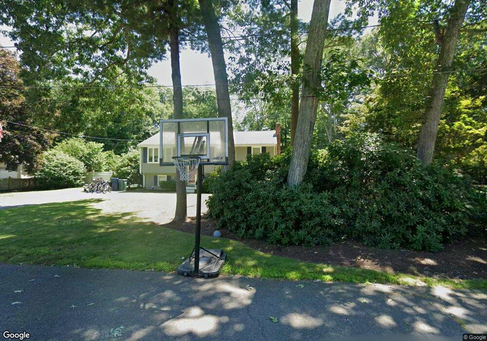
8 Edward St Norton, MA 02766
Estimated Value: $525,540 - $601,000
3
Beds
1
Bath
1,340
Sq Ft
$424/Sq Ft
Est. Value
About This Home
This home is located at 8 Edward St, Norton, MA 02766 and is currently estimated at $568,385, approximately $424 per square foot. 8 Edward St is a home located in Bristol County with nearby schools including J.C. Solmonese Elementary School, Henri A. Yelle Elementary School, and Norton Middle School.
Ownership History
Date
Name
Owned For
Owner Type
Purchase Details
Closed on
Feb 27, 2009
Sold by
Harvey Daniel T and Harvey Ann L
Bought by
Kline Matthew A and Kline Rachel L
Current Estimated Value
Home Financials for this Owner
Home Financials are based on the most recent Mortgage that was taken out on this home.
Original Mortgage
$265,109
Interest Rate
5%
Mortgage Type
Purchase Money Mortgage
Purchase Details
Closed on
Jan 7, 1999
Sold by
Morris Michael and Morris Pamela J
Bought by
Harvey Daniel T and Harvey Ann L
Purchase Details
Closed on
Jul 28, 1994
Sold by
Peterson Jeffrey P and Peterson Kathleen A
Bought by
Morris Michael and Morris Pamela J
Purchase Details
Closed on
Oct 15, 1990
Sold by
George H Allan
Bought by
Peterson Jeffrey P
Create a Home Valuation Report for This Property
The Home Valuation Report is an in-depth analysis detailing your home's value as well as a comparison with similar homes in the area
Home Values in the Area
Average Home Value in this Area
Purchase History
| Date | Buyer | Sale Price | Title Company |
|---|---|---|---|
| Kline Matthew A | $270,000 | -- | |
| Harvey Daniel T | $158,000 | -- | |
| Morris Michael | $139,000 | -- | |
| Peterson Jeffrey P | $136,000 | -- |
Source: Public Records
Mortgage History
| Date | Status | Borrower | Loan Amount |
|---|---|---|---|
| Open | Peterson Jeffrey P | $265,405 | |
| Closed | Kline Matthew A | $265,109 | |
| Previous Owner | Peterson Jeffrey P | $134,000 |
Source: Public Records
Tax History
| Year | Tax Paid | Tax Assessment Tax Assessment Total Assessment is a certain percentage of the fair market value that is determined by local assessors to be the total taxable value of land and additions on the property. | Land | Improvement |
|---|---|---|---|---|
| 2025 | $55 | $426,300 | $181,200 | $245,100 |
| 2024 | $5,250 | $405,400 | $172,600 | $232,800 |
| 2023 | $4,969 | $382,500 | $162,800 | $219,700 |
| 2022 | $4,856 | $340,500 | $148,000 | $192,500 |
| 2021 | $3,116 | $308,500 | $140,900 | $167,600 |
| 2020 | $4,610 | $302,000 | $136,800 | $165,200 |
| 2019 | $2,254 | $284,900 | $131,600 | $153,300 |
| 2018 | $4,130 | $272,400 | $131,600 | $140,800 |
| 2017 | $3,964 | $257,900 | $131,600 | $126,300 |
| 2016 | $3,849 | $246,600 | $131,600 | $115,000 |
| 2015 | $3,714 | $241,300 | $129,000 | $112,300 |
| 2014 | $3,557 | $231,400 | $122,900 | $108,500 |
Source: Public Records
Map
Nearby Homes
- 5 Village Way Unit C
- 17 Village Way Unit F
- 10 Anna Way
- 71 Richardson Ave
- 345 Richardson Ave
- 933 Pleasant St
- 123 Pike Ave
- 180 Pike Ave
- 143 Oak St Unit 10
- 451R Gilbert St
- 0 Pike Ave
- 53 Sturdy St
- 11 Cherry Tree Ln
- 2 Oak St Unit 2B
- 0 Paisley Way Unit 73482376
- 0 Paisley Way Unit 73482325
- 49 Pheasant Hill Rd
- 2 Edgewater Dr Unit 2
- 8 Country Cir
- 0 Cherry Tree Ln
- 6 Edward St
- 10 Edward St
- 23 Eisenhower Dr
- 25 Eisenhower Dr
- 21 Eisenhower Dr
- 7 Edward St
- 5 Edward St
- 4 Edward St
- 27 Eisenhower Dr
- 19 Eisenhower Dr
- 3 Edward St
- 29 Eisenhower Dr
- 24 Eisenhower Dr
- 22 Eisenhower Dr
- 26 Eisenhower Dr
- 20 Eisenhower Dr
- 31 Eisenhower Dr
- 10 Guy St
- 28 Eisenhower Dr
- 18 Eisenhower Dr
Your Personal Tour Guide
Ask me questions while you tour the home.