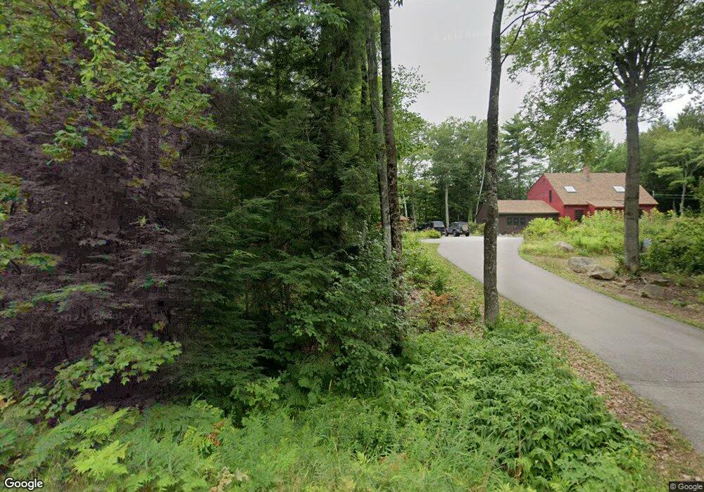
8 Forest Ring Dr Bartlett, NH 03812
Estimated Value: $687,476 - $857,000
3
Beds
4
Baths
2,678
Sq Ft
$294/Sq Ft
Est. Value
About This Home
This home is located at 8 Forest Ring Dr, Bartlett, NH 03812 and is currently estimated at $788,619, approximately $294 per square foot. 8 Forest Ring Dr is a home with nearby schools including Josiah Bartlett Elementary School and The Lilliputian School.
Ownership History
Date
Name
Owned For
Owner Type
Purchase Details
Closed on
Oct 6, 2010
Sold by
Mallett Michael J and Mallett Jeffrey W
Bought by
Porter Robert F and Porter Evelyn G
Current Estimated Value
Home Financials for this Owner
Home Financials are based on the most recent Mortgage that was taken out on this home.
Original Mortgage
$385,000
Outstanding Balance
$254,318
Interest Rate
4.37%
Mortgage Type
Purchase Money Mortgage
Estimated Equity
$534,301
Create a Home Valuation Report for This Property
The Home Valuation Report is an in-depth analysis detailing your home's value as well as a comparison with similar homes in the area
Home Values in the Area
Average Home Value in this Area
Purchase History
| Date | Buyer | Sale Price | Title Company |
|---|---|---|---|
| Porter Robert F | $303,500 | -- |
Source: Public Records
Mortgage History
| Date | Status | Borrower | Loan Amount |
|---|---|---|---|
| Open | Porter Robert F | $385,000 |
Source: Public Records
Tax History
| Year | Tax Paid | Tax Assessment Tax Assessment Total Assessment is a certain percentage of the fair market value that is determined by local assessors to be the total taxable value of land and additions on the property. | Land | Improvement |
|---|---|---|---|---|
| 2024 | $3,318 | $594,700 | $144,400 | $450,300 |
| 2023 | $3,069 | $594,700 | $144,400 | $450,300 |
| 2022 | $2,956 | $594,700 | $144,400 | $450,300 |
| 2021 | $3,100 | $325,300 | $115,300 | $210,000 |
| 2020 | $3,142 | $325,300 | $115,300 | $210,000 |
| 2019 | $3,038 | $325,300 | $115,300 | $210,000 |
| 2018 | $2,970 | $325,300 | $115,300 | $210,000 |
| 2016 | $2,852 | $300,200 | $66,400 | $233,800 |
| 2015 | $2,864 | $300,200 | $66,400 | $233,800 |
| 2014 | $2,939 | $300,200 | $66,400 | $233,800 |
| 2010 | $2,492 | $272,300 | $50,500 | $221,800 |
Source: Public Records
Map
Nearby Homes
- 46 Crestwood Dr
- 45 Wildflower Trail Unit 9
- D37 Eagle Ridge Rd Unit D37
- 32 Mount Surprise Rd
- 28 Washington Ave
- 970 Kearsarge Rd
- G60 Eagle Ridge Rd
- 20 Hochland Dr
- 49 Neighbors Row
- 734 Kearsarge Rd Unit 3
- 127 New Hampshire 16a
- 720 Kearsarge Rd
- 136 Northbrook Cir Unit 96
- 00000 Ledgewood Rd Unit 249
- 16 Burdett Rd
- 135 Nh Rte 16 and 302 Hwy
- 16 Purple Finch Rd Unit I71
- 17 Purple Finch Rd Unit 73
- 2955 White Mountain Hwy Unit 125 E22
- 2955 White Mountain Hwy Unit 114 (W25)
- 9 Forest Ring Dr
- 7 Forest Ring Dr
- 179 Skyline Dr
- 171 Skyline Dr
- 6 Forest Ring Dr
- 6 Forest Ring Dr
- 10 Forest Ring Dr
- 10 Forest Ring Dr
- 11 Forest Ring Dr
- 11 Forest Ring Dr
- 174 Skyline Dr
- 184 Skyline Dr
- 4 Forest Ring Dr
- 165 Skyline Dr
- 1 Forest Ring Dr
- 14 Pendexter Woods Rd
- 193 Skyline Dr
- 18 Pendexter Woods Rd
- 8 Pendexter Woods Rd
- 120 Skyline Dr
Your Personal Tour Guide
Ask me questions while you tour the home.