8 Gillette Ct Unit D Simsbury, CT 06070
Estimated Value: $219,400 - $235,000
2
Beds
2
Baths
1,040
Sq Ft
$219/Sq Ft
Est. Value
About This Home
This home is located at 8 Gillette Ct Unit D, Simsbury, CT 06070 and is currently estimated at $227,600, approximately $218 per square foot. 8 Gillette Ct Unit D is a home located in Hartford County with nearby schools including Central School, Henry James Memorial School, and Simsbury High School.
Ownership History
Date
Name
Owned For
Owner Type
Purchase Details
Closed on
Jan 22, 2018
Sold by
Wheeler Richard D and Wheeler Ivajean B
Bought by
Macdonald Kimbery
Current Estimated Value
Home Financials for this Owner
Home Financials are based on the most recent Mortgage that was taken out on this home.
Original Mortgage
$105,450
Outstanding Balance
$88,987
Interest Rate
3.94%
Mortgage Type
New Conventional
Estimated Equity
$138,613
Create a Home Valuation Report for This Property
The Home Valuation Report is an in-depth analysis detailing your home's value as well as a comparison with similar homes in the area
Home Values in the Area
Average Home Value in this Area
Purchase History
| Date | Buyer | Sale Price | Title Company |
|---|---|---|---|
| Macdonald Kimbery | $111,000 | -- |
Source: Public Records
Mortgage History
| Date | Status | Borrower | Loan Amount |
|---|---|---|---|
| Open | Macdonald Kimbery | $105,450 |
Source: Public Records
Tax History Compared to Growth
Tax History
| Year | Tax Paid | Tax Assessment Tax Assessment Total Assessment is a certain percentage of the fair market value that is determined by local assessors to be the total taxable value of land and additions on the property. | Land | Improvement |
|---|---|---|---|---|
| 2025 | $3,379 | $98,910 | $0 | $98,910 |
| 2024 | $3,295 | $98,910 | $0 | $98,910 |
| 2023 | $3,147 | $98,910 | $0 | $98,910 |
| 2022 | $3,042 | $78,740 | $0 | $78,740 |
| 2021 | $3,042 | $78,740 | $0 | $78,740 |
| 2020 | $2,920 | $78,740 | $0 | $78,740 |
| 2019 | $2,939 | $78,740 | $0 | $78,740 |
| 2018 | $2,960 | $78,740 | $0 | $78,740 |
| 2017 | $3,205 | $82,690 | $0 | $82,690 |
| 2016 | $3,069 | $82,690 | $0 | $82,690 |
| 2015 | $3,069 | $82,690 | $0 | $82,690 |
| 2014 | $3,071 | $82,690 | $0 | $82,690 |
Source: Public Records
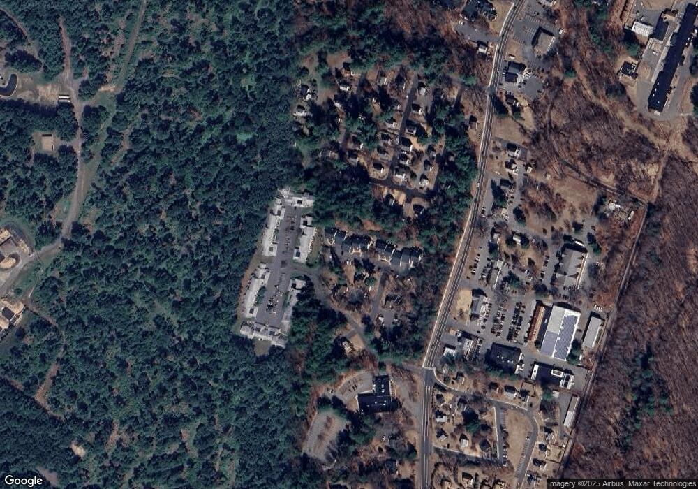
Map
Nearby Homes
- 15 Wiggins Farm Dr Unit H
- 3 Stebbins Brook Ln
- 4 Stebbins Brook Ln
- 40 Woodland St
- 6 Mill Pond Ln Unit B
- 20 Southbridge Ct
- 2 Southbridge Ct
- 17 Prospect Ridge
- 23 Stratton Forest Way
- 75 Stratton Forest Way
- 1 West St Unit 322
- 1 West St Unit 206
- 37 Farms Village Rd
- 15 Sand Hill Rd
- 64 E Weatogue St
- 16 Springbrook Ln
- 308 Hopmeadow St
- 12 Simsbury Manor Dr
- 35 Beldenwood Rd
- 1 Riverwalk Dr
- 10B Wiggins Farm Dr Unit 10B
- 2B Gillette Ct Unit B
- 3 Gillette Ct Unit C
- 1 Gillette Ct Unit C
- 10 Wiggins Farm Dr Unit B
- 3 Gillette Ct Unit D
- 14 Wiggins Farm Dr Unit H
- 14 Wiggins Farm Dr Unit J
- 2 Gillette Ct Unit C
- 19 Wiggins Farm Dr Unit D
- 1 Gillette Ct Unit B
- 10 Wiggins Farm Dr Unit F
- 14 Wiggins Farm Dr Unit A
- 8 Gillette Ct Unit H
- 10 Wiggins Farm Dr Unit E
- 10 Wiggins Farm Dr Unit G
- 19 Wiggins Farm Dr Unit H
- 19 Wiggins Farm Dr Unit A
- 14 Wiggins Farm Dr Unit F
- 19 Wiggins Farm Dr Unit G