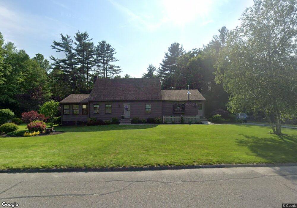
8 Grant Ave Southampton, MA 01073
Estimated Value: $477,026 - $588,000
3
Beds
1
Bath
1,997
Sq Ft
$261/Sq Ft
Est. Value
About This Home
This home is located at 8 Grant Ave, Southampton, MA 01073 and is currently estimated at $521,007, approximately $260 per square foot. 8 Grant Ave is a home located in Hampshire County with nearby schools including William E Norris School, White Oak School, and Westfield Christian Academy.
Ownership History
Date
Name
Owned For
Owner Type
Purchase Details
Closed on
Mar 21, 2024
Sold by
Parker Sharon M and Parker Jonathan J
Bought by
Parker Jason
Current Estimated Value
Purchase Details
Closed on
Jan 22, 1992
Sold by
Hartwell William H and Hartwell Charlotte
Bought by
Parker Jonathan J and Parker Sharon M
Home Financials for this Owner
Home Financials are based on the most recent Mortgage that was taken out on this home.
Original Mortgage
$100,000
Interest Rate
8.45%
Mortgage Type
Purchase Money Mortgage
Create a Home Valuation Report for This Property
The Home Valuation Report is an in-depth analysis detailing your home's value as well as a comparison with similar homes in the area
Home Values in the Area
Average Home Value in this Area
Purchase History
| Date | Buyer | Sale Price | Title Company |
|---|---|---|---|
| Parker Jason | -- | None Available | |
| Parker Jonathan J | $142,500 | -- |
Source: Public Records
Mortgage History
| Date | Status | Borrower | Loan Amount |
|---|---|---|---|
| Previous Owner | Parker Jonathan J | $80,000 | |
| Previous Owner | Parker Jonathan J | $100,000 | |
| Previous Owner | Parker Jonathan J | $100,000 | |
| Previous Owner | Parker Jonathan J | $110,900 |
Source: Public Records
Tax History Compared to Growth
Tax History
| Year | Tax Paid | Tax Assessment Tax Assessment Total Assessment is a certain percentage of the fair market value that is determined by local assessors to be the total taxable value of land and additions on the property. | Land | Improvement |
|---|---|---|---|---|
| 2025 | $5,593 | $394,700 | $116,600 | $278,100 |
| 2024 | $5,624 | $394,700 | $116,600 | $278,100 |
| 2023 | $5,304 | $370,100 | $116,600 | $253,500 |
| 2022 | $5,169 | $343,000 | $116,600 | $226,400 |
| 2021 | $5,086 | $318,500 | $106,800 | $211,700 |
| 2020 | $5,002 | $316,200 | $106,800 | $209,400 |
| 2019 | $4,895 | $300,100 | $106,800 | $193,300 |
| 2018 | $4,615 | $276,000 | $96,400 | $179,600 |
| 2017 | $4,504 | $276,000 | $96,400 | $179,600 |
| 2015 | $4,328 | $275,500 | $87,600 | $187,900 |
Source: Public Records
Map
Nearby Homes
- Lot 5 Brickyard Rd
- 119 Brickyard Rd
- 369 College Hwy
- Lot 5 Gil Farm Rd
- Lot 6 Gil Farm Rd
- 117 Russellville Rd
- 216 College Hwy
- Lot 57 White Loaf Rd
- 45 Jaeger Dr
- 47 Jaeger Dr
- 100 Fomer Rd
- 17 Maple St
- 150 Middle Rd
- 132 North Rd
- 336 Russellville Rd
- 94 Pequot Rd (Rear)
- 64 Old Stage Rd
- 4 Fitch Farm Way
- 232 Russellville Rd
- 36 County Rd
- 9 Grant Ave
- 4 Madison Ave
- 4 Grant Ave
- 6 Madison Ave
- 5 Grant Ave
- 8 Madison Ave
- 159 Brickyard Rd
- 155 Brickyard Rd
- 157 Brickyard Rd
- 11 Madison Ave
- 9 Coolidge Dr
- 161 Brickyard Rd
- 153 Brickyard Rd
- 156 Brickyard Rd
- 3 Madison Ave
- 163 Brickyard Rd
- Lot 4 Brickyard Rd
- 10 Coolidge Dr
- 177 & 178 Brickyard Rd
- 154 Brickyard Rd